Displaying 41 - 50 of 1572
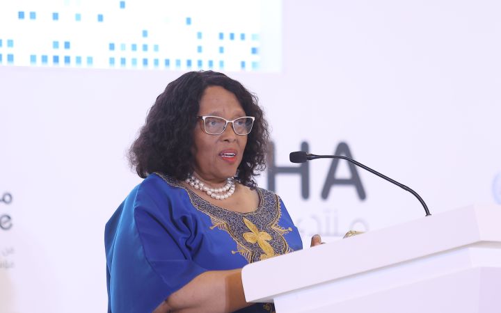
8 December 2025, Doha, Qatar - Ms. Malebona Precious Matsoso, former Director General of the National Department of Health of South Africa, has been awarded the Doha Best Negotiator of the Year 2025. She was recognised for her leadership in securing the Pandemic Agreement adopted at the 78th World Health Assembly.
8 December 2025, Hiroshima, Japan – The United Nations Institute for Training and Research (UNITAR), China Chamber of International Commerce (CCOIC), and the China Council for the Promotion of International Trade (CCPIT) Commercial Legal Service Center jointly ran the Global Responsible Business Accelerator: Enterprise Internationalization Capacity-Building Initiative (9–13 September 2025). Twenty senior corporate executives and entrepreneurs from China – from manufacturing, green technology, infrastructure, and international trade sectors – took part in the phased programme. The accelerator combined governance immersion, corporate visits, and multilateral dialogue to equip them with frameworks and networks for responsible global operations.
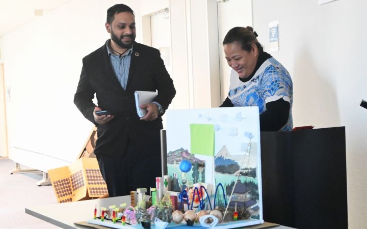
8 December 2025, Hiroshima, Japan - When Mohseen Riaz-Ud-Dean was a child, Cyclone Kina swept across Fiji and flooded Mohseen’s home. “My house was underwater”, he recalls. “We had to relocate … [take] all the belongings we had with us to a higher level.” The experience taught him what it means to grow up in a vulnerable island nation and the importance of preparedness.
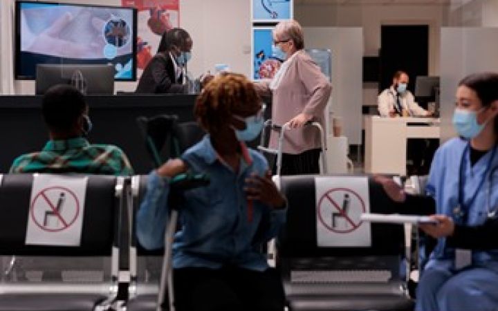
6 December 2025, York, Canada - The International Training Centre for Authorities and Leaders (CIFAL) in Canada, CIFAL York, an affiliated training centre of UNITAR, has successfully concluded the final session of its 2025 Emergency Management in Hospitals & Healthcare Speaker Series. The six-part series brought together practitioners, academics, and students to explore the complex challenges healthcare institutions face when preparing for, responding to, and recovering from emergencies.
6 December 2025, London, United Kingdom - The CIFAL Global Network will gather in London for its XXII Annual Steering Committee Meeting, hosted by CIFAL London. The three-day event, taking place from 9-11 December 2025, will bring together chairpersons, directors, and representatives from across the global network to review progress, share best practices, and define strategic priorities for the years ahead.
4 December 2025, Geneva, Switzerland - On 4 December 2025, the United Nations Institute for Training and Research (UNITAR) and International Business University (IBU), based in Toronto, Canada, signed a Memorandum of Understanding (MOU) to establish a strategic partnership aimed at developing socially conscious, globally competent leaders. This landmark collaboration will embed UNITAR’s expert training and sustainability frameworks directly into IBU’s academic programmes, empowering a new generation of professionals to drive sustainable prosperity.
3 December 2025, Geneva, Switzerland – The United Nations Institute for Training and Research (UNITAR) and the Food and Agriculture Organization (FAO) wrapped up their newest course, “Agriculture in Trade Agreements” on 30 October 2025. Delivered in Arabic, this course is the latest development in the 15-year-long UNITAR-FAO partnership.
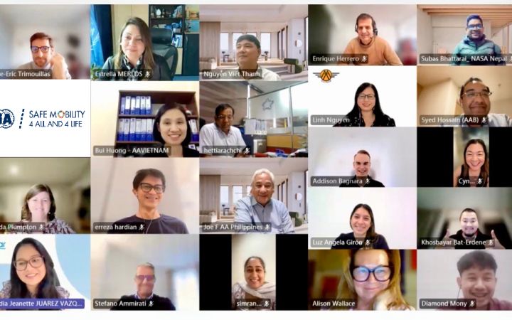
02 December 2025, Geneva, Switzerland – Safe Mobility 4 All & 4 Life" (SM4A4L) is a collaborative effort of UNITAR, the Fédération Internationale de l'Automobile (FIA) and the FIA Foundation to enhance the leadership and management capacity of FIA Members and those responsible for road safety policies and programmes at local and national levels. A feature of the initiative is its promotion of South-South and triangular cooperation formats, as well as public-private collaboration.
1 December 2025, Belem, Brazil – On 17 November 2025, the United Nations Institute for Training and Research (UNITAR), together with the Ministry of Ecology and Environment of the People’s Republic of China (MEE), China Global Television Network (CGTN), and the Prosperity Alliance Shenzhen (GBA), co-hosted a side event “Building Beautiful Low-Carbon Cities Together” during the 30th Conference of the Parties to the UN Framework Convention on Climate Change (COP30) in Belem, Brazil.
27 November 2025, Madrid, Spain – The International Training Centre for Authorities and Leaders in Madrid, Spain (CIFAL Madrid), an affiliated training centre of UNITAR, has launched a new online course titled Safe and Sustainable Mobility. The course is designed to equip professionals with comprehensive knowledge and practical tools to advance safe, sustainable and inclusive mobility worldwide.


