Displaying 101 - 110 of 191
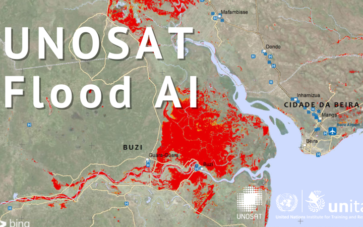
25 February, Geneva Switzerland - The Artificial Intelligence (AI) algorithm developed by UNOSAT with the support of UN Global Pulse, the UN Secretary-General's innovation initiative, was used in the recent rapid mapping activation for seasonal floods in Mozambique.
2020 was a year of both challenges and accomplishments for UNITAR-UNOSAT. Our mapping teams delivered 1,136 products and services based on over 300 analyses to partners in 59 countries. Throughout the year we also successfully designed and implemented several capacity development activities: UNITAR-UNOSAT delivered 16 learning-related events in 2020 to 471 beneficiaries consisting mostly of government officials, 6 of which were web-based and 10 of which took place face-to-face.
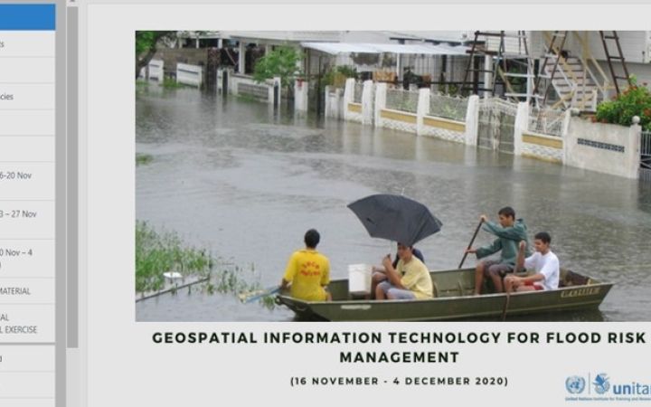
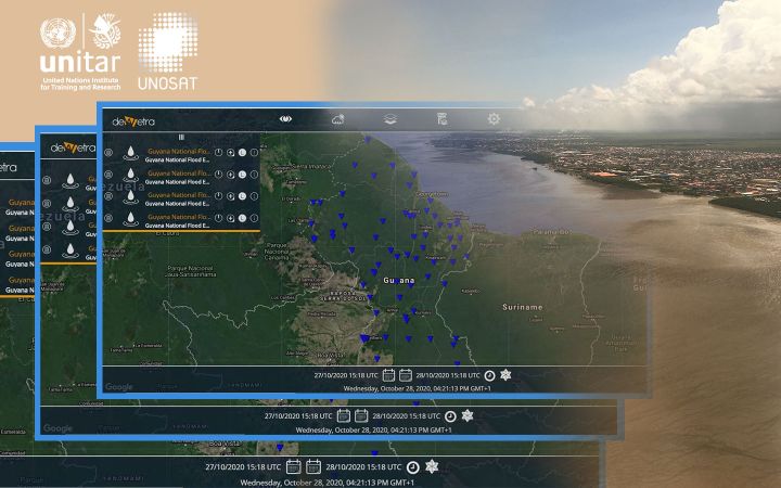
20 January 2021, Geneva, Switzerland – UNOSAT delivered a four week e-learning moderated course under the framework “Strengthening Women’s Disaster Management Capacities in Guyana and Dominica”, a project funded by the Government of Japan and led by UNDP Guyana. The e-learning event is part of the capacity development activities planned under the second component of the “Development of Guyana’s National Flood Early Warning System (NFEWS)" initiative.
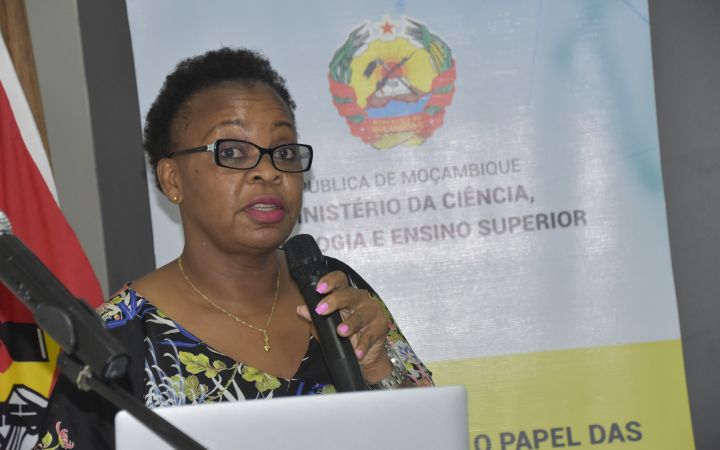
05 January 2021, Maputo, Mozambique – UNOSAT delivered a technical training on the Applications of Geospatial Information Technology (GIT) for Operational Planning and Decision Making in Disaster Situations. Participants were from different line ministries and national institutions, including the National Disasters Management Institute (INGC). This training was organized in collaboration with the United Nations Technology Bank for Least Developed Countries and the Ministry of Science, Technology & Higher Education (MCTES) of Mozambique.
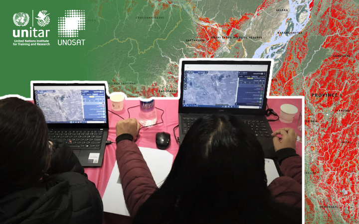
UNOSAT delivered a 4-day training in Kathmandu, Nepal, on the Application of Geospatial Information Technology (GIT) for Disaster Risk Management (DRM) and Decision Support to different Nepalese ministries, police and army officials.
18 December 2020, Geneva, Switzerland and Georgetown, Guyana – The Flood Forecasting System, under the project “Strengthening Women’s Disaster Management Capacities in Guyana and Dominica” funded by the Government of Japan and led by UNDP Guyana, was implemented by UNOSAT in close collaboration with CIMA Research Foundation. This is the first of two components of the “Development of Guyana National Flood Early Warning System (NFEWS)“ initiative supported by the Hydrometeorological Service of the Ministry of Agriculture of Guyana (Hydromet).
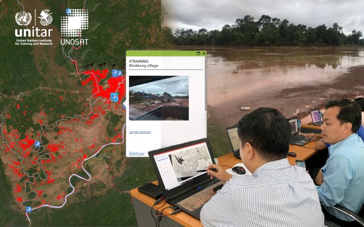
December 2020, Geneva, Switzerland – Between 2017 and 2019, UNOSAT has been committed to supporting the Lao People's Democratic Republic (PDR) to build resilience to the many hazards the country is exposed to, namely floods and tropical storms. The situation is especially urgent as Lao PDR is particularly vulnerable to these threats, as it is ranked one of the poorest or least developed countries in the Asia Pacific region.
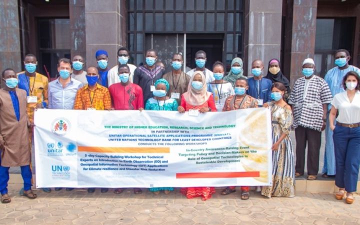
UNOSAT delivered a week-long training in Serrekunda, The Gambia, on the use of Earth Observation (EO) and GIT applications to 18 November 2020, Geneva, Switzerland – support operational planning and decision-making for Disaster Risk Reduction (DRR) and Climate Resilience to government officials in partnership with the Ministry of Higher Education, Research, Science and Technology (MoHERST) and the UN Technology Bank for Least Developed Countries.
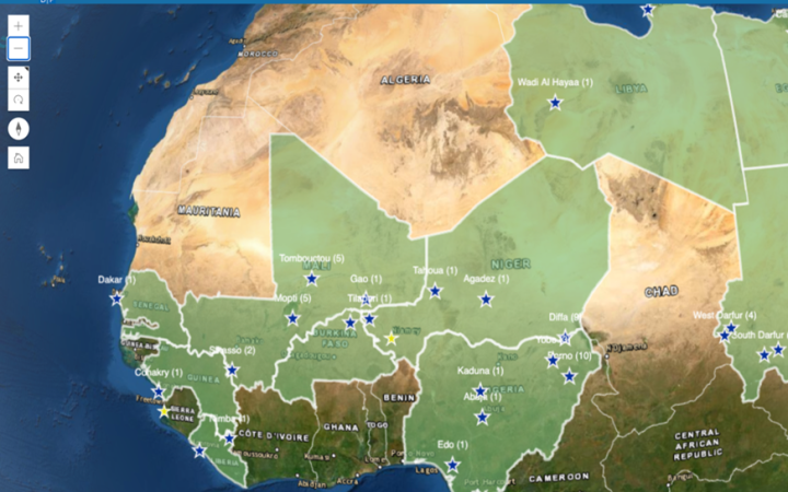
30 October 2020, Geneva, Switzerland, New York, United States - In late 2016, the United Nations Development Programme (UNDP) and UNITAR-UNOSAT entered into a three-year collaboration period with the purpose of developing a web-mapping interface for the monitoring and evaluation of 15 UNDP projects focused on infrastructure rehabilitation in Sub-Saharan Africa. The interface was customized to feature individual story maps depicting the project sites, which would convey the different projects’ objectives, activities, and their impact in an intuitive manner using the ArcGIS Online system. From this, the ‘Geolocalized Maps and Satellite Imagery Analysis’ interface emerged to include engaging story maps for 156 locations, in 7 countries: Guinea, Liberia, Libya, Mali, Niger, Nigeria, and Sudan.
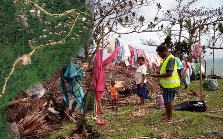
16 October 2020, Geneva, Switzerland – UNOSAT and UNDP, longstanding partners, are cooperating on a new satellite imagery analysis application, through the production of maps used in the validation of the civil and electoral registries in Vanuatu’s 83 islands.


