16 October 2020, Geneva, Switzerland – UNOSAT and UNDP, longstanding partners, are cooperating on a new satellite imagery analysis application, through the production of maps used in the validation of the civil and electoral registries in Vanuatu’s 83 islands.
In 2017, Vanuatu’s national authorities decided to introduce a “national ID card”, making Vanuatu one of the first countries in the Pacific to do so. The government also decided to link the civil and voter registration databases to increase the integrity and accuracy of the voter register. This would also allow in the longer run to enhance synergy between the various databases used by different government agencies. As a result, the Civil Registry and Vital Statistics department (CRVS) and the Vanuatu Electoral Office (VEO) launched a joint nationwide registration effort, with technical and financial support from the United Nations Development Programme’s Vanuatu Electoral Environment Project (UNDP/VEEP) to ensure that every citizen of Vanuatu is registered and issued with a national ID card. In parallel, a new system to host the data was developed in collaboration with UNDP/VEEP, including a set-up to enable the old data to be modified and migrated, and the new data to be inputted.
In 2020, after the general elections held in March, a civil and voter data validation operation was programmed. This effort aims to clean and verify the existing records available in the new system, and to identify duplicates as well as deceased, and therefore to develop credible population datasets in Vanuatu which will serve as the basis to the establishment of future electoral rolls.
“These databases house a unique set of biographical data, which with some efforts can become a fundamental, robust, accurate and inclusive database.” – Etienne Ravo, Deputy Director, Civil Registry & Vital Statistics Department, Ministry of Internal Affairs of Vanuatu
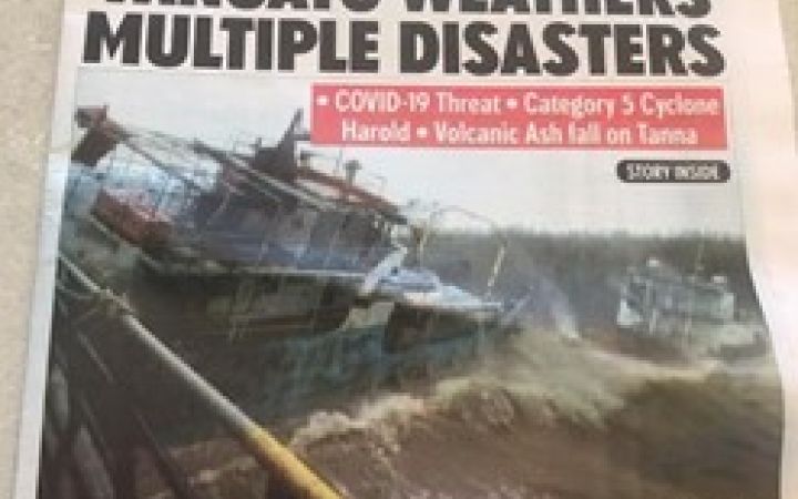
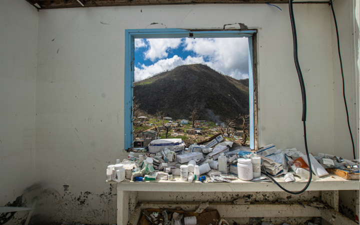
In a disaster risk management context, such as after Tropical Cyclone Harold hit the country in April 2020, the availability of such data is key in the planning and dissemination of critical services and benefits by the government to the population. Disaster response management would be improved with accurate and detailed data on the population exposed for planning relocation logistics, or for the distribution of economic stimulus for example.
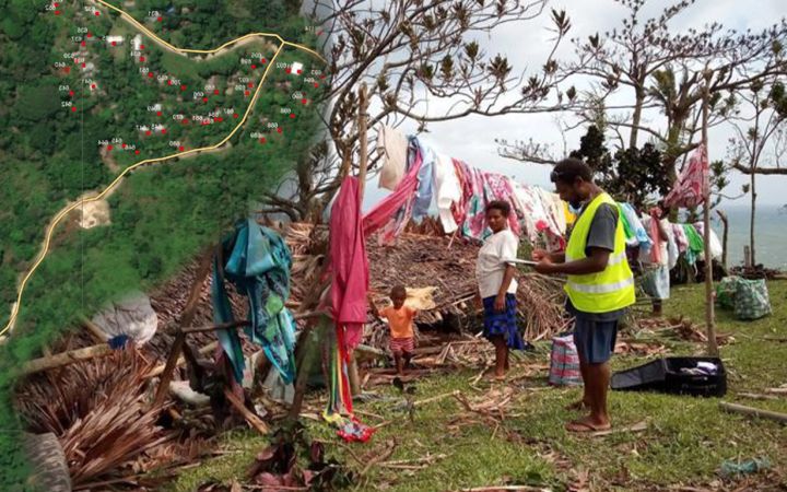
UNOSAT contributes to these activities through the provision of satellite imagery analysis used in the planning phase as well as field implementation. With a current focus on Pentecost, Maewo and Ambae islands, the maps produced aim to identify housing buildings throughout the Islands, which is a new application of our expertise. Such information, crossed with current available population data, will help UNDP/VEEP to identify localities where data is missing or inconsistent and plan their field survey activities accordingly.
“Vanuatu’s various institutions do not have a joined geo data base, so between villages, islands, provinces, electoral districts and constituencies, the demarcation of boundaries can show some inconsistencies. In addition, given the regular cyclones and natural disasters in Vanuatu, which is placed on the ring of fire, villages and settlements seem to move a lot without much tracking. These maps will be crucial in the identification of villages and households as well as wider demarcation of boundaries work” – Anne-Sofie Gerhard, Technical Adviser & Project Manager, UNDP/VEEP
With the support of UNDP Crisis Bureau, UNDP/VEEP developed validation forms (KoboCollect) that are installed in newly procured tablets, supported by solar panels, and used by the field work teams to capture citizen’s data. The collected data has been used for the identification of citizens who lost their primary identity documents, such as birth certificates and national ID cards in the TC Harold(*) affected areas. Following the data validation in TC Harold impacted areas, the field teams will continue through the rest of the islands of Vanuatu. The resulting population data and the wealth of geographic information produced during the project would themselves potentially contribute greatly to various initiatives in the country.
On 23rd September 2020, this collaboration was presented to the Department of Local Authorities as one of the projects using GIS applications in the country. By the end of 2020, this project will have covered the provinces of Penama, Malampa, Sanma and Torba – 4 out of 6 provinces. This project lays the foundations to the most accurate dataset regarding the population of Vanuatu.
Tropical Cyclone Harold hit Vanuatu in April 2020. Find the damage assessments published by UNOSAT.


