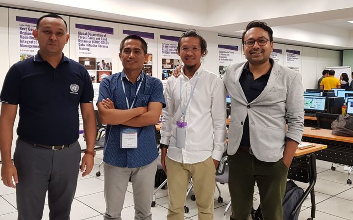
UNOSAT is the operational satellite applications programme of UNITAR, promoting evidence-based decision making for peace, security and resilience by using geospatial information technologies (GIT). One of UNOSAT’s main strategic objectives is to build and develop capacities of Member States to use earth observation (EO) and GIT. As a part of its capacity development activities, UNOSAT delivered a one-week training entitled “ASEAN Regional Training Course on Geospatial Big Data Applications for Sustainable Development” from 05-09 August 2019, together with regional partners in Sri Racha, Chon Buri, Thailand.
This training was jointly organized by Geo-Informatics and Space Technology Development Agency (GISTDA) under the Ministry of Higher Education, Science, Research, and Innovation of Thailand (MHESI) and the ASEAN Research and Training Center for Space Technology and Applications (ARTSA), in collaboration with UNOSAT and the United Nations Economic and Social Commission for Asia and the Pacific (UNESCAP).
The overall goal of the training was to increase knowledge and understanding of how to apply geospatial big data to help achieve the Sustainable Development Goals in ASEAN member states.
What is Geospatial Big Data and its Benefits?
Geospatial big data allows users to analyze an immense amount of geospatial data, resulting in a substantial reduction in time required to perform a computational process. The training thus provided participants with a theoretical understanding of geospatial big data and its applications for problem identification, assessment, and decision-making.
The training included sessions where participants learned to harness new trends in geospatial big data to enhance their ability to produce more precise and timely results when addressing scientific and societal issues. To practice and apply the acquired knowledge, participants conducted in-depth analyses of case studies and completed hands-on exercises where they applied geospatial big data to various thematic areas such as environmental monitoring, hazard mapping and disaster risk reduction.
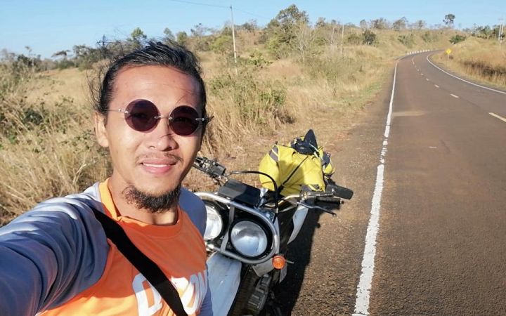
Mr. Bormy Chanthong
Bormy Chanthong, a freelance solutions architect and geoinformatics specialist, participated in the training and spoke highly of the impact it has had on his work and personal life. In an interview with him six months after the course, it is clear that it has not only helped him, but also his wider community in Cambodia.
Since 2011, Bormy has worked as a GIS and Remote Sensing Specialist at the Royal University of Phnom Penh, making him an adept user of geospatial information technologies. Despite his pre-existing expertise, he stated that he learned to operate new technologies and confirmed that “because of the training I was able to advance my skills”. Prior to the training he was only vaguely familiar with cloud computing, especially with regard to the use of Google Earth Engine and sourcing massive datasets online. He further added, “although I knew a bit on the topic before, it was the first time I applied it to disaster risk reduction”.
Following the training he monitored the illegal logging of forests in Cambodia to assist a friend working on environmental protection at an NGO. He stated that he was able to use cloud based remote sensing datasets and tools to track changes in land cover without needing to download said datasets and processing them on his computer, which normally would necessitate high-end computers. He emphasized that one of the benefits of big data was that he could freely access and process a vast amount of data on the cloud platform – in this case Google Earth Engine – spanning ten to twenty years, which was vital for his statistical comparisons.
Additionally, because he was so enthused by the information and skills he gained from the training, Bormy went on to organize his own workshops on geospatial big data applications. In 2020, a few months after the training, he created the community KhmerGeo (https://www.khmergeo.org/) to bring together other individuals working on or interested in earth observation in Cambodia. Initially the community was a Facebook group meant to share information and research, but now it has grown into a larger project. He stated the aim of his community group is to invite stakeholders from governments, NGOs, and the private sector to demonstrate how big data can be applied to their areas of interest.
Their first kick-off meeting “Application of GIS and RS for Sustainable Development in Cambodia” was slated to take place on April 3, 2020 (because of COVID-19, the workshop has been delayed), with speakers from The International Institute for Geo-Information Science and Earth Observation (ITC) in the Netherlands, GISTDA, UNDP, as well as a speaker from UNOSAT.
It is evident that Bormy has applied the knowledge he acquired from UNOSAT’s trainings to benefit the larger remote sensing community. By organizing his own workshops, he is transferring knowledge and skills to fellow Cambodians interested in leveraging earth observation to help address domestic issues and hopefully attain the Sustainable Development Goals. When asked if he would encourage his friends to participate in a UNOSAT training, he vehemently agreed.


