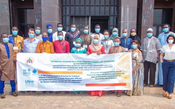
18 November 2020, Geneva, Switzerland – UNOSAT delivered a week-long training in Serrekunda, The Gambia, on the use of Earth Observation (EO) and Geospatial Information Technologies (GIT) applications to support operational planning and decision-making for Disaster Risk Reduction (DRR) and Climate Resilience to government officials in partnership with the Ministry of Higher Education, Research, Science and Technology (MoHERST) and the UN Technology Bank for Least Developed Countries.
The Gambia’s geographical location exposes the country to climate-related hazards. These occurrences affect natural resource management and have an impact on its fragile and rising economy. Droughts and floods are the most prevalent hazards and represent the biggest threat to The Gambia’s agricultural sector, affecting assets, livestock and infrastructure, and therefore food security. This, combined with the country’s high vulnerability index, increases the proportion of the population that is affected. Given the potential severity of future hazards due to climate change, national Disaster Risk Management (DRM) policies and climate resilience need to be strengthened.
UNOSAT delivered a week-long technical training introducing EO and GIT applications to support operational planning and decision-making for DRR and Climate Resilience. This training falls under the joint project framework between UNITAR and the UN Technology Bank for Least Developed Countries “Technology Intensive Capacity Building Programme for targeted Least Developed Countries“, and was hosted by MoHERST.
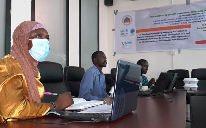
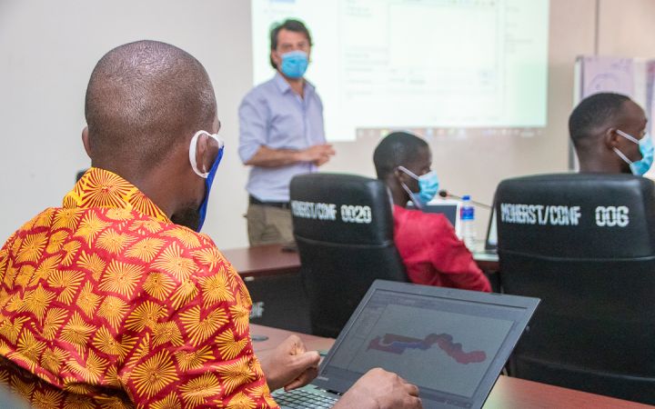
From 26 to 30 October, experts presented to 21 participants from various Government ministries and institutions as well as the University of Gambia. They learned about GIT applications for improved operational planning and decision making in DRR, through a balanced approach of lectures, round table discussions, and lab exercises during the training sessions. In addition, UNOSAT ensured necessary technical backstopping activities during and after the training with the aim of promoting more sustainable knowledge transfer. At the end of the training, participants worked on a final GIS assignment (based on real case scenarios with a focus on drought and rainfall analysis) to practice technical skills acquired during the week.
"I think this training is relevant to all of us here because the world is so global. The type of information we can use here can help us and our partners around the globe. The impact of this training is immeasurable, thank you.”- Papa Sanneh, Principal Assistant Secretary, MoHERST
This training was hosted by MoHERST and delivered face-to-face in line with official COVID-19 prevention measures applicable in The Gambia. Participants were encouraged to wear face masks and hydroalcoholic solutions were provided.
“On behalf of my colleagues here we would like to thank you for delivering this training and all your efforts in this difficult time. I was able to understand ArcGIS more than before, it was immensely helpful, definitely.” – Edriss Muhamad Lamin Manneh, Senior ICT Officer, National Disaster Management Agency.
MoHERST, in partnership with The UN Technology Bank for Least Developed Countries and UNOSAT, hosted an awareness-raising workshop event on the use of Geospatial Information Technology applications for sustainable development, on Monday 2nd November. This event focused on the role of GIT in policy and decision-making and the potential to effectively and efficiently monitor progress on reaching the Sustainable Development Goals (SDGs). Luca Dell'Oro, Senior Programme Specialist in charge of the Disaster Management and Climate Resilience Section at UNOSAT, presented key trends in Earth Observation (EO) and Geospatial Technologies including innovative data platforms and thematic applications integrating EO data, Artificial Intelligence, and Machine Learning.
Mr Moshe Kao, Progamme Management Consultant on behalf of Mr. Joshua Setipa, Managing Director of the United Nations Technology Bank for Least Developed Countries highlighted that GIT provides an opportunity for policy and decision-makers to respond in a timely manner to assess and mitigate disaster risk and put in place climate change adaptation strategies. Moreover, GIT provides guidance for emergency responses and post-disaster monitoring, especially for floods and droughts which represent the major threats to The Gambia's development. The workshop highlighted the importance of coordination, data collection, and data harmonization amongst the key stakeholders in The Gambia, which include the National Disaster Management Agency, Ministry of Environment, Climate Change & Natural Resources, National Environment Agency as well as the Ministry of Higher Education, Research, Science and Technology.
For more detailed information on the content of the training, consult MoHERST’s webpage.
You can also contact us at unosat@unitar.org.


