Displaying 1591 - 1600 of 2492
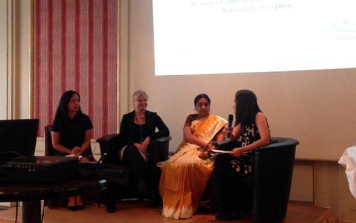
UNITAR’s Women’s Leadership Programme partnered with the Women’s Environmental and Development Organization (WEDO) to co-host a side event at the UNFCCC Forty-second Sessions of the Subsidiary Body for Implementation (SBI 42) and the Subsidiary Body for Scientific and Technological Advice (SBSTA 42), as well as the June session of the Ad Hoc Working Group on the Durban Platform for Enhanced Action (ADP2-9)
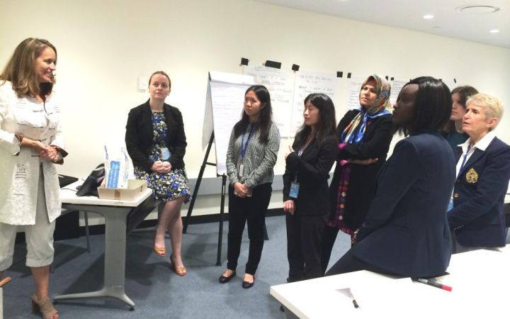
UNITAR’s Multilateral Diplomacy Programme delivered a Women’s Leadership workshop for delegates to the High Level Political Forum (HLPF) on Sustainable Development.In the context of UNITAR’s new Women’s Leadership Programme, launched hand-in-hand with UN Women and working across the UN System, UNITAR delivered a high-level workshop for diplomats and delegates accredited to the High Level Political Forum (HLPF) on Sustainable Development.
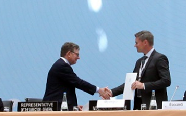
30 June 2015, Bonn, Germany – UNESCO and UNITAR (the UN Institute for Training and Research) have signed an agreement to protect cultural and natural heritage sites with the latest geo-spatial technologies. It was signed at the annual meeting of the World Heritage Committee in Bonn, Germany, and will be delivered through UNITAR’s Operational Satellite Applications Programme (UNOSAT).


