Displaying 11 - 20 of 278
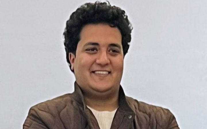
15 August 2025, Hiroshima, Japan – Growing up in Asyut, Egypt, Ahmed Hassanein was no stranger to the struggles of smallholder farmers. He witnessed firsthand how low productivity and financial instability pushed many farmers to abandon their land in search of alternative livelihoods. This reality planted the seed of a lifelong mission for Ahmed: to bridge the gap between traditional farming practices and modern sustainable agriculture.
August 2025, Hiroshima, Japan – “The one-week course [of the Program for Global Human Resource Development for Peacebuilding and Development] was intense yet engaging, providing an opportunity to reflect on my career journey thus far…This experience, along with connecting with global cohorts, will undoubtedly be an asset in my long-term career,” says Akiko Hasegawa, Finance Officer in the Budget, Performance Review, and Strategic Planning (BPS) Vice Presidency at the World Bank. She joined the Bank in early 2025 in pursuit of her goal to strengthen results on the ground by enhancing the efficiency of the financial and operations management, which she believes will ultimately contribute to a better world.
The United Nations Satellite Centre (UNOSAT), part of UNITAR, delivers satellite analysis, training, and capacity development to UN entities and Member States. We leverage geospatial technologies to support humanitarian response, sustainable development, and resilience building worldwide. Through satellite analysis and targeted training initiatives, UNOSAT empowers UN entities and Member States to leverage geospatial technologies for evidence-based decision making. The project “Strengthening Capacities in the Use of Geospatial Information for Improved Resilience in Asia-Pacific and Africa”, implemented between 2021-2024 with funding from the Norwegian Agency for Development Cooperation (NORAD), supported eight countries across Asia-Pacific and Africa in strengthening their geospatial capabilities to address development challenges. The following case study from Bhutan demonstrates the transformative impact of this initiative.
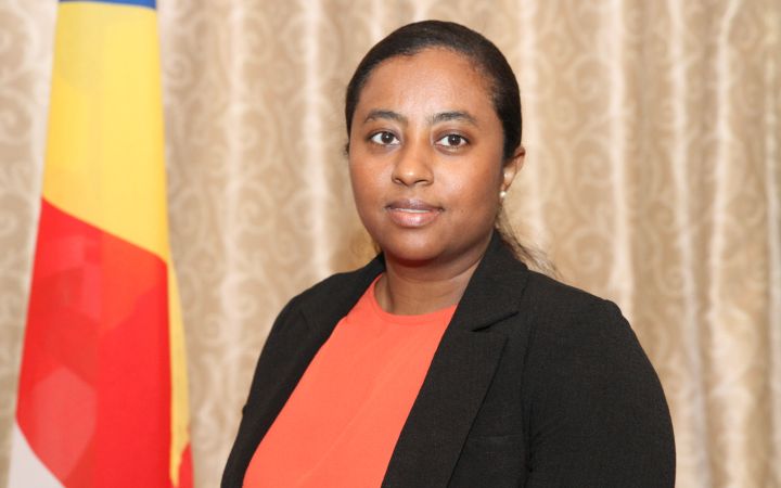
In a world of rapid change and complex challenges, governments are increasingly recognizing the need to think ahead, plan better, and work together. The Ministry of Finance, National Planning and Trade of Seychelles realized the potential of strategic foresight and systems thinking for adopting a more integrated approach to strategic planning. What started as a collaboration between the government of Seychelles, the Resident Coordinator Office (RCO) for Mauritius and Seychelles in 2022, the United Nations Department of Economic and Social Affairs (UN DESA), and UNITAR, is gradually evolving into a way of working for the Ministry.
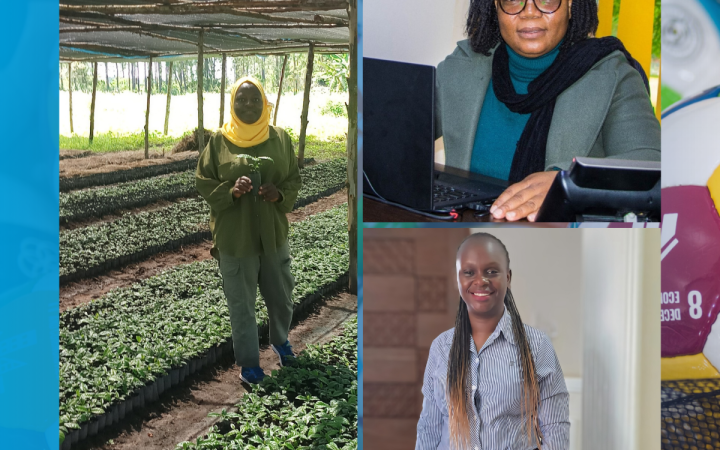
Climate change has challenged traditional livelihood strategies, such as agriculture and pastoralism, requiring alternative, resilient livelihood options. To develop capacities that can face these new realities, the UNITAR Division for Prosperity organized the “Developing green livelihoods for women and youth in Africa: Strengthening food security, supporting climate resilient economies” programme. This Impact Story reveals that the programme was useful to participants' needs and that the majority were able to use what they had learned, including participants who started the implementation of their business ideas or project proposals.
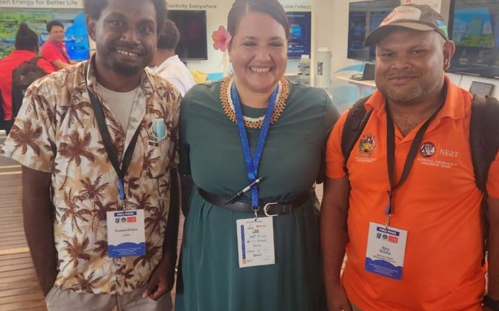
1 July 2025, Hiroshima, Japan — A group of passionate alumni from the United Nations Institute for Training and Research (UNITAR) Early Warning System (EWS) training programme is turning learning into action in the Solomon Islands.
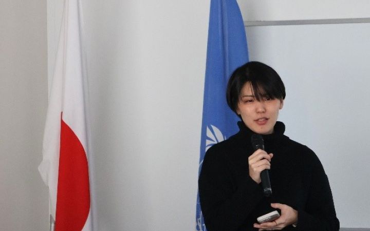
1 July 2025, Hiroshima, Japan - For seven years, Mariya Asagi from Japan worked in educational and humanitarian NGOs in Afghanistan, Laos, and Myanmar. Motivated by her goal of joining the United Nations, she participated in the Primary Course of The Programme for Global Human Resource Development for Peacebuilding and Development in early 2025, sponsored by the Ministry of Foreign Affairs of Japan and held online and in Hiroshima and Tokyo, Japan, in January and February 2025.
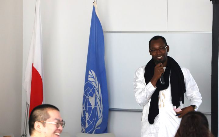
19 June 2025, Hiroshima, Japan – Jacques Dembele is a Monitoring and Evaluation officer at United Nations Development Programme (UNDP) Guinea-Bissau, where he works to promote democracy, health, economic development and climate change. He joined the Primary Course of the Program for Global Human Resource Development for Peacebuilding and Development to further his skills for a career in international organizations.
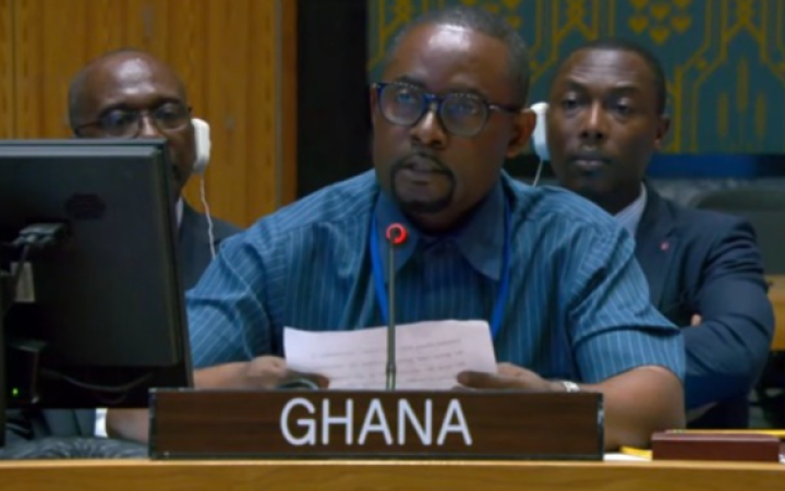
Charles Osei-Mensah served as Minister Plenipotentiary, Counter-Terrorism at the Permanent Mission of Ghana to the United Nations when he applied to the Programme: “My decision to participate in the UNITAR Fellowship Programme in Peacemaking and Preventive Diplomacy was motivated by both my professional background and my aspirations to contribute to global peace efforts. With a solid foundation in counterterrorism, I have developed valuable insights into the complexities of security threats, conflict prevention, and fostering cooperation among various actors. I recognized that participating in this programme would present an unparalleled opportunity to deepen my understanding of peacemaking and preventive diplomacy.
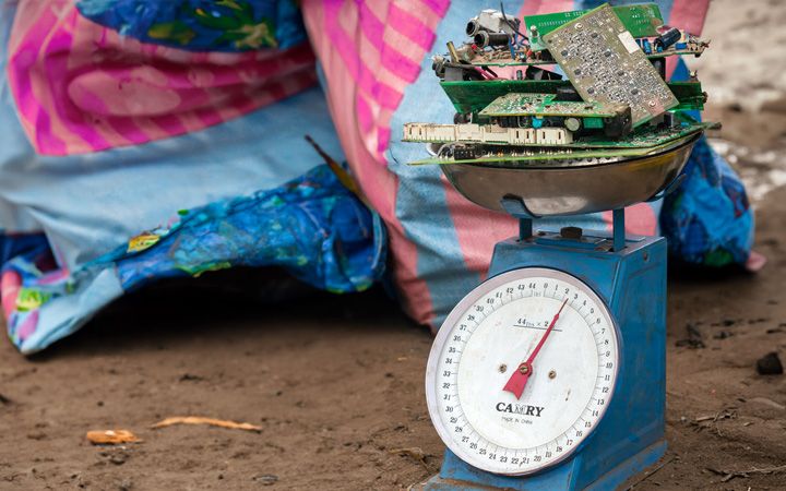
Electrical and electronic equipment have revolutionized how we live, work, and communicate, and are today integrated into our daily lives. However, as this equipment reaches the end of its life cycle, e-waste generation is inevitable. Recognizing the need to address e-waste generation and recyclability, UNITAR Sustainable Cycles (SCYCLE) Programme and Microsoft joined forces to tackle this issue. The collaboration, rooted in a shared vision for sustainability, has yielded tangible results.


