Displaying 71 - 80 of 191
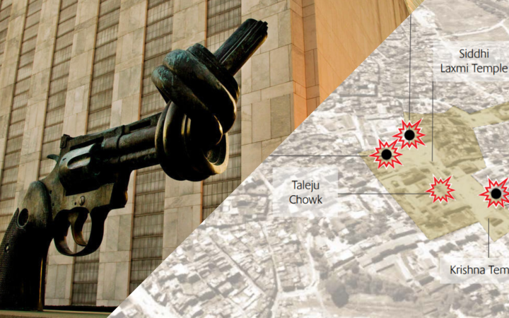
15 June 2022, Geneva, Switzerland - For the past twenty years, UNOSAT has been developing its expertise in using Geospatial Information Technologies to promote evidence-based decision-making for peace, security and resilience. Discover some of the ways the experts apply their skills to inform investigations, support recovery and protect cultural heritage.
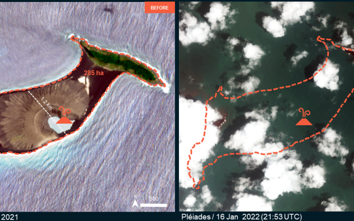
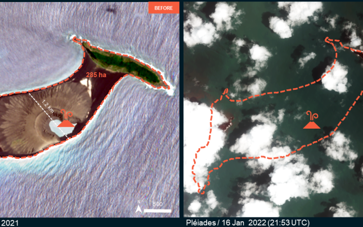
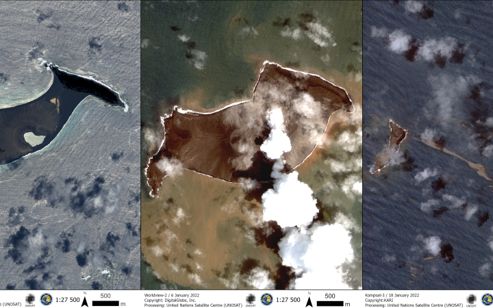
10 June 2022, Geneva, Switzerland - On Saturday 15th January, the ongoing volcanic eruption of Hunga Tonga-Hunga Ha’apai triggered a tsunami across the Pacific. Karen Melnychuck and her sister Laura Jarosz contacted the United Nations Satellite Centre (UNOSAT) with a plea to help them with any information on the island where their mother lived.
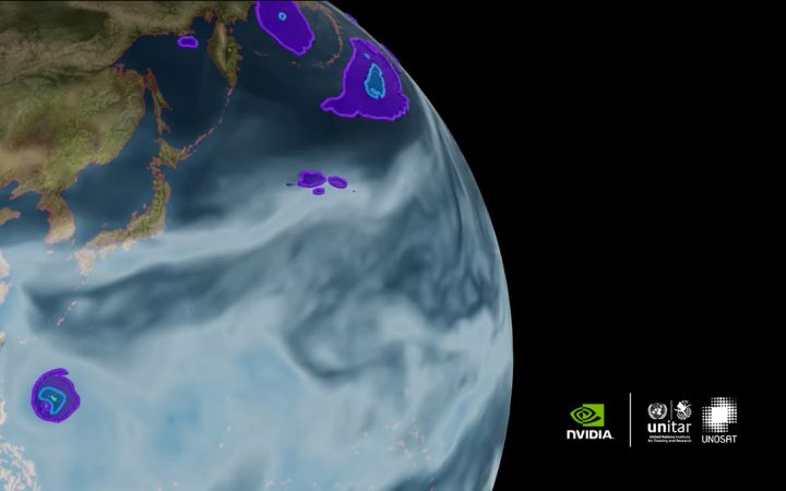
The United Nations Satellite Centre (UNOSAT) announced a collaboration with NVIDIA on training and research activities to promote the use of Artificial Intelligence (AI) for Earth Observation activities in support of the Sustainable Development Goals (SDGs), with an initial emphasis on disaster management.
8 June 2022, Geneva, Switzerland - On Saturday 15th January, the ongoing volcanic eruption of Hunga Tonga-Hunga Ha’apai triggered a tsunami across the Pacific. Karen Melnychuck and her sister Laura Jarosz contacted the United Nations Satellite Centre (UNOSAT) with a plea to help them with any information on the island where their mother lived.
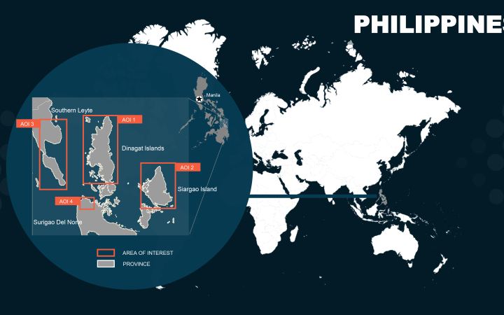
A category 5 Tropical Cyclone struck the Philippines in December 2021, causing significant damage and affecting a large part of the population. FUNOSAT’s Emergency Mapping service was activated to support the planning and coordination of emergency response operations with satellite imagery analysis.
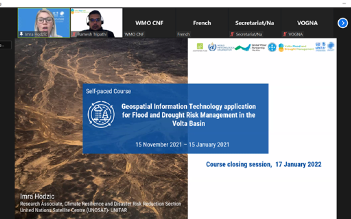
08 February 2022, Geneva, Switzerland – Between 15 November 2021 and 21 January 2022, the UN Satellite Centre UNOSAT-UNITAR delivered a two-month regional e-learning course for Volta basin countries entitled “Geospatial Information Technology applications for Flood and Drought Risk Management in the Volta Basin”.
18 January 2022, Geneva, Switzerland - On Saturday 15th January, the ongoing volcanic eruption of Hunga Tonga-Hunga Ha’apai triggered a tsunami across the Pacific. The UNOCHA Regional Office for Asia and the Pacific swiftly contacted the United Nations Satellite Centre (UNOSAT) to request the activation of its Emergency Mapping service over Tonga.
December 3rd, 2021, Geneva, Switzerland - The ambitious agenda of COP 26 to accelerate action towards and beyond the goals of the Paris agreement may have been a let-down for most people. For the United Nation Satellite Centre (UNOSAT), it was also an opportunity to promote once more the added value of satellite-derived information for improving climate resilience.
26 November 2021, Geneva, Switzerland – On Thursday 25th November, the United Nations Satellite Centre (UNOSAT), hosted an online event to celebrate 20 years of operations. The great discussions and testimonies from partners only scratched the surface of the tremendous work achieved so far, and what is to come.
On Thursday 25th November 2021, UNOSAT is celebrating the 20 years of operations leading to the United Nations Satellite Centre with an online event.


