Displaying 1 - 10 of 191
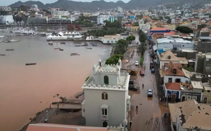
21 November 2025, Praia, Cabo Verde - UNOSAT’s satellite analysis played a crucial role after the August 2025 storms in Cabo Verde, providing the only comprehensive overview of floods, landslides, and infrastructure damage when ground access was limited. The data guided emergency response, supported operational decisions, and fed directly into the Government’s USD 42.6 million national recovery and resilience plan. This close collaboration with national authorities and UN partners demonstrated the cost-effectiveness and essential value of geospatial information across the entire disaster management cycle.
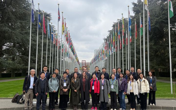
3 November 2025, Geneva, Switzerland – The United Nations Institute for Training and Research (UNITAR) and the CIFAL Global Network successfully concluded the Science, Technology, and Sustainable Development Training Programme for Senior Officials, co-developed by UNITAR and CIFAL Shanghai. The programme took place from 13 to 30 October 2025 at UNITAR Headquarters in Geneva, Switzerland.
24 October 2024, Geneva, Switzerland - On United Nations Day, observed every year on 24 October, the research and training institutes of the United Nations reaffirm their essential role in building an integrated, effective, and future-ready UN system that delivers for people. This day marks the anniversary of the entry into force of the UN Charter in 1945 — the founding moment of the Organization — and invites reflection on the UN’s enduring mission to promote peace, development, and human rights and how knowledge and learning support that mission.
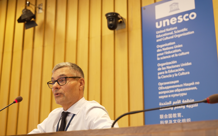
24 July 2025, Paris, France - On 12 July 2025, the United Nations Satellite Centre (UNOSAT) took part in the 47th session of the World Heritage Committee at UNESCO Headquarters in Paris. In collaboration with the International Centre on Space Technologies for Natural and Cultural Heritage (HIST), UNOSAT co-hosted a thematic session titled: Digital Technologies for Sustainable Development of World Heritage Sites. This collaboration was part of a broader effort to promote the use of digital tools and geospatial technologies in support of UNESCO’s mission to safeguard World Heritage.
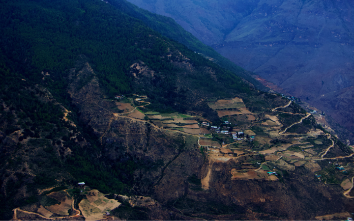
The United Nations Satellite Centre (UNOSAT), part of UNITAR, delivers satellite analysis, training, and capacity development to UN entities and Member States. We leverage geospatial technologies to support humanitarian response, sustainable development, and resilience building worldwide. Through satellite analysis and targeted training initiatives, UNOSAT empowers UN entities and Member States to leverage geospatial technologies for evidence-based decision making. The project “Strengthening Capacities in the Use of Geospatial Information for Improved Resilience in Asia-Pacific and Africa”, implemented between 2021-2024 with funding from the Norwegian Agency for Development Cooperation (NORAD), supported eight countries across Asia-Pacific and Africa in strengthening their geospatial capabilities to address development challenges. The following case study from Bhutan demonstrates the transformative impact of this initiative.
July 2025 - Lebanon is facing a growing risk of food insecurity due to the conflict that began in October 2023, which threatens the country's agricultural land and assets. This geospatial assessment aims to analyze changes in agricultural land during the baseline period from October 2019 to 7 October 2023, compared with October 2024.
In March 2025, two consecutive earthquakes—measuring 7.7 and 6.7 magnitude — struck central Myanmar, causing widespread destruction. In the worst-affected areas, the earthquakes left 6.3 million people in urgent need of assistance and protection. Prior to the disaster, 4.3 million people were already in need in these areas. The earthquake pushed an additional 2 million people into crisis.
5 May 2025, Geneva, Switzerland - We're pleased to announce that UNITAR has officially joined the Villars Institute and the Global Learning Council as a co-founder of the Global Learning Conference — a powerful partnership united by a shared mission to shape the future of education and lifelong learning.
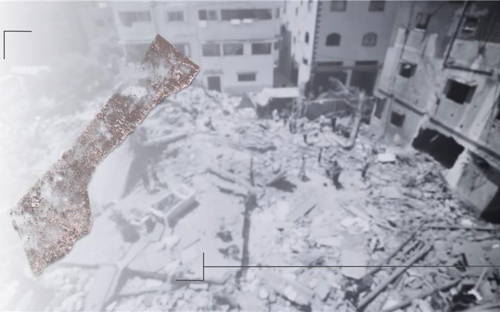
Since October 2023, UNOSAT and FAO have collaborated to assess the impact of the crisis on agriculture in the Gaza Strip. Using satellite imagery and geospatial analysis, they monitored damage to cropland and greenhouses, essential for food security. By December 2024, 75% of Gaza’s cropland was severely affected, with over 5,600 greenhouses damaged or destroyed. This data has been crucial for FAO’s food security assessments, humanitarian coordination, and targeted interventions to support farmers. The partnership also led to methodological improvements, enhancing decision-making and resource allocation.
8 March 2025, Geneva, Switzerland - On this International Women’s Day, I am pleased to announce that I joined the International Gender Champions. Today, we must all answer the call to action to achieve a future where the rights, equality, and empowerment of all women and girls are fully realized. The theme, For ALL Women and Girls: Rights. Equality. Empowerment., serves as a powerful reminder that gender equality is not just a goal—it is a necessity.


