Displaying 41 - 50 of 132
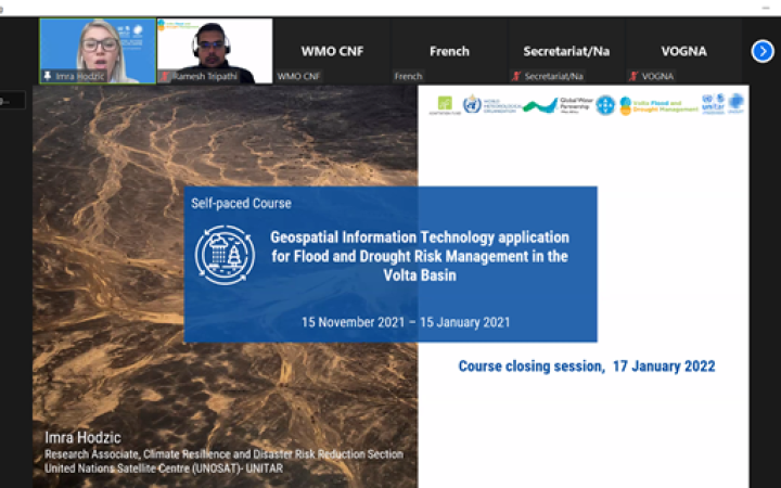
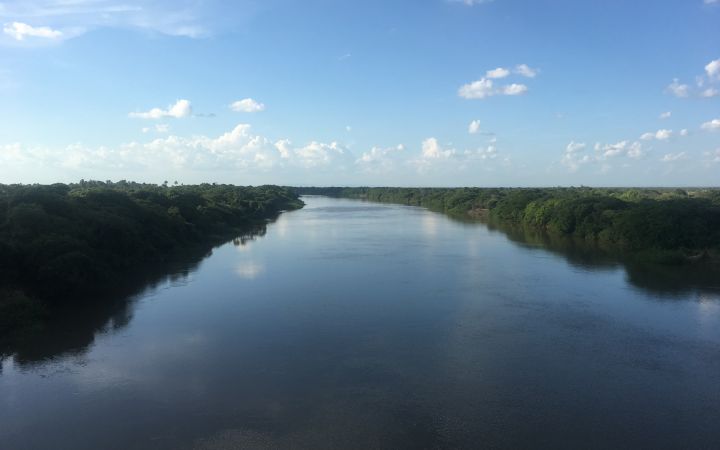
08 February 2022, Geneva, Switzerland – Between 15 November 2021 and 21 January 2022, the UN Satellite Centre UNOSAT-UNITAR delivered a two-month regional e-learning course for Volta basin countries entitled “Geospatial Information Technology applications for Flood and Drought Risk Management in the Volta Basin”.
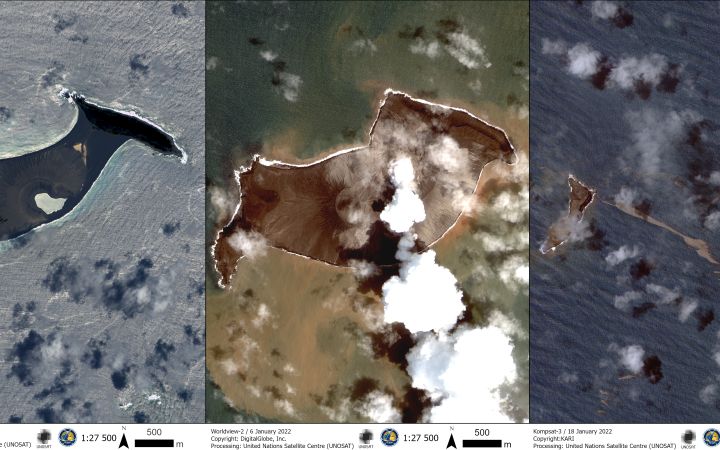
18 January 2022, Geneva, Switzerland - On Saturday 15th January, the ongoing volcanic eruption of Hunga Tonga-Hunga Ha’apai triggered a tsunami across the Pacific. The UNOCHA Regional Office for Asia and the Pacific swiftly contacted the United Nations Satellite Centre (UNOSAT) to request the activation of its Emergency Mapping service over Tonga.
December 3rd, 2021, Geneva, Switzerland - The ambitious agenda of COP 26 to accelerate action towards and beyond the goals of the Paris agreement may have been a let-down for most people. For the United Nation Satellite Centre (UNOSAT), it was also an opportunity to promote once more the added value of satellite-derived information for improving climate resilience.
26 November 2021, Geneva, Switzerland – On Thursday 25th November, the United Nations Satellite Centre (UNOSAT), hosted an online event to celebrate 20 years of operations. The great discussions and testimonies from partners only scratched the surface of the tremendous work achieved so far, and what is to come.
On Thursday 25th November 2021, UNOSAT is celebrating the 20 years of operations leading to the United Nations Satellite Centre with an online event.
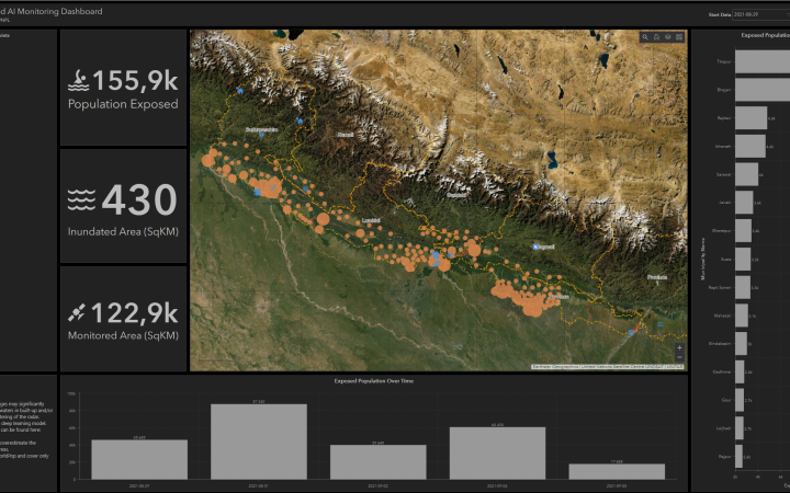
In South Asia, the monsoon season started early and strong this year. Nepal was particularly hit by heavy rainfall in June 2021: flooding and landslides were reported in many parts of the country and affected thousands of families. When the Rapid Mapping service was activated, the UNOSAT FloodAI pipeline was deployed and all products were sent to the Dashboard, turning it into a one-stop-shop for real-time evidence-based decision-making
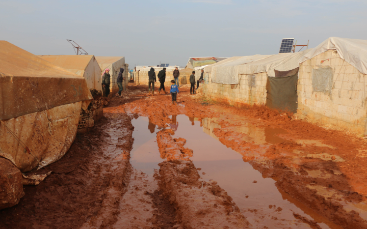
John Wain, Senior Emergency Shelter Officer at the United Nations High Commissioner for Refugees (UNHCR), recalled the evolution of their work and how UNOSAT supported them with satellite imagery analysis to better plan for new settlements.
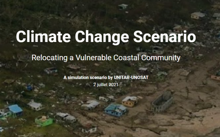
9 August 2021, Geneva, Switzerland - Coastal communities in Small Island Developing States continue to suffer from the impacts of various hazards like flood, tropical cyclones, tsunami, and erosion. This case study presents how a relocation scenario can be simulated using various spatial data and information available through the CommonSensing solution that UNOSAT provides.
15 June 2021, Georgetown, Guyana - The current floods situation in Guyana are representative of a recurring threat to the country’s development. Prone to heavy rains leading to overflowing of its rivers, Guyana’s agricultural sector is constantly affected disaster-related damages, and the local communities are vulnerable to food insecurity because of the damages to land, assets, and infrastructure.
The United Nations Economic and Social Council (ECOSOC) adopted an historic resolution for the United Nations Institute for Training and Research (UNITAR), and in particular for its Operational Satellite Applications Programme - UNOSAT.


