“Very importantly, climate displacement is a huge reality in our region and very much in Fiji, and using the CommonSensing tools and data, we have started to prioritise top 15 communities in urgent need of relocation. The CS risk index can help us not just to approach this whole question of relocating people, but also to prioritize who has to move and whose land we can save. It tells us how far inland we need to move a village. Without the CommonSensing platform, this would have been very difficult to achieve.” Shivanal Kumar, Climate Change Adaptation Specialist, Ministry of Economy, Fiji.
9 August 2021, Geneva, Switzerland - Coastal communities in Small Island Developing States continue to suffer from the impacts of various hazards like flood, tropical cyclones, tsunami, and erosion. Climate change is likely to amplify the risk of extreme weather events with its increased intensity and frequency, whilst the threats posed by fast-rising sea levels affect the lives of people in coastal communities.
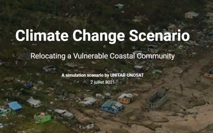
As part of the adaptation plan, the government and concerned authorities consider “climate change relocation”. Relocating communities means more than moving the community to a safer location; it is also crucial to provide the right conditions of a new settlement for people to rebuild their livelihood.
To ensure equitable access to resources and social services, multiple decision criteria and relevant datasets shall be overlayed on a map for evidence-based decision-making. This case study presents how a relocation scenario can be simulated using various spatial data and information available through the CommonSensing solution that UNOSAT provides.
Take a look at the StoryMap for an interactive walkthrough. Please note this case study about Noko, a small coastal Tikina in Fiji’s main island Vanua Levu, is hypothetical and the StoryMap is designed only to help the end-user's understanding.
For more information, please contact unosat@unitar.org


