Displaying 1821 - 1830 of 2485
23 July 2013, Geneva, Switzerland - The 2013 session of the United Nations Economic and Social Council (ECOSOC) is being held in Geneva, where ECOSOC meets every other year. UNITAR took part in the Innovation Fair of the Annual Ministerial Review, which this year put a spotlight on the role of science, technology and innovation, and the potential of culture in promoting sustainable development and achieving the Millennium Development Goals.
16 July 2013, United Nations, New York - The High Commissioner for Refugees was among the UN high level speakers who briefed the UN Security Council on the degradation of the humanitarian situation in Syria. The Chief of UNHCR said: “We have not seen a refugee flow escalate at such an alarming rate since the Rwandan genocide.” Lebanon and Jordan bear the heaviest burden, while the impact on Iraqi Kurdistan and Turkey is also very high.
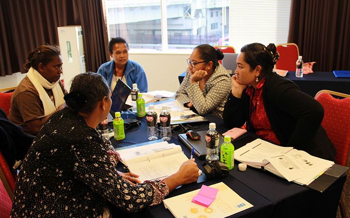
16-18 July 2013, Ouagadougou, Burkina Faso – Burkina Faso held its National SAICM Planning and Inception Workshop from 16 to 18 July 2013 with the participation of UNITAR and UNEP.
9-11 July 2013, Lomé, Togolese Republic – In the framework of the project “Enabling Activities for the Development of a SAICM Implementation Plan within an Integrated National Programme for the Sound Management of Chemicals and Supporting GHS Capacity Building in the Togolese Republic”,a National Forum on Governance and Priority Setting for SAICM Implementation was held in Lomé from 9 to 11 July 2013 with the participation of UNITAR.
2 July 2013, Geneva, Switzerland - UNITAR announces a new upcoming e-Learning courses entitled “Climate Change Diplomacy: Negotiating effectively under the UNFCCC.”
Climate Change Diplomacy: Negotiating Effectively under the UNFCCC
Climate Change Diplomacy: Negotiating Effectively under the UNFCCC
UNITAR announces its upcoming e-Learning courses entitled “Introduction to the UN System” and “Drafting and Adopting UN Resolutions”.
Introduction to the United Nations System (7 October - 17 November 2013)
This course aims to provide a historical, political, and analytical framework for
Introduction to the United Nations System (7 October - 17 November 2013)
This course aims to provide a historical, political, and analytical framework for
21 June 2013, Nairobi, Kenya - The second technical training on ‘Introduction to Remote Sensing (RS) and Field Data Collection Techniques for Disaster Risk Reduction (DRR)’ was successfully delivered within the IGAD-UNOSAT initiative Disaster Risk Reduction Capacity Development in East Africa Using Geo-spatial Technologies. The training was officially opened on 10 June 2013 by a representative of the Royal Norwegian government, which supports the UNOSAT capcity development programme in Eastern Africa.
18 June 2013, Geneva, Switzerland - UNITAR announces two upcoming e-Learning courses on the topics of cosmopolitan communication and mediation skills.
Cosmopolitan Communication: Connecting across Diplomats, Business Leaders and Civil Society Actors
Cosmopolitan Communication: Connecting across Diplomats, Business Leaders and Civil Society Actors
12 June 2013, Geneva, Switzerland - Each year an increasing number of practitioners, international staff, and national experts take to studying International Humanitarian Law to have a better understanding of the rules and international conventions applying to armed conflict and internal violence.


