Displaying 11 - 20 of 282
Promoting and protecting Human Rights is a continuous practice that shapes how institutions serve people and uphold dignity, inclusion, and justice for all. To strengthen the capacity of professionals to fulfill this responsibility in an increasingly complex landscape, the Saudi Human Rights Commission, UNITAR, and Majmaah University collaborated to implement the Expert in Human Rights Programme in the Kingdom of Saudi Arabia. It deepened understandings of Human Rights and empowered participants to translate knowledge into effective practice.
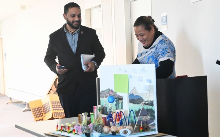
8 December 2025, Hiroshima, Japan - When Mohseen Riaz-Ud-Dean was a child, Cyclone Kina swept across Fiji and flooded Mohseen’s home. “My house was underwater”, he recalls. “We had to relocate … [take] all the belongings we had with us to a higher level.” The experience taught him what it means to grow up in a vulnerable island nation and the importance of preparedness.
5 November 2025, Hiroshima, Japan – When Margo Soltis, a police officer from New Zealand, joined UNITAR’s Hiroshima disaster risk reduction training, she did not expect to be so shaken by the disaster experiences of Japan. Neither did she expect to walk away with a new mission: to equip children with the knowledge and skills to respond confidently in emergencies.
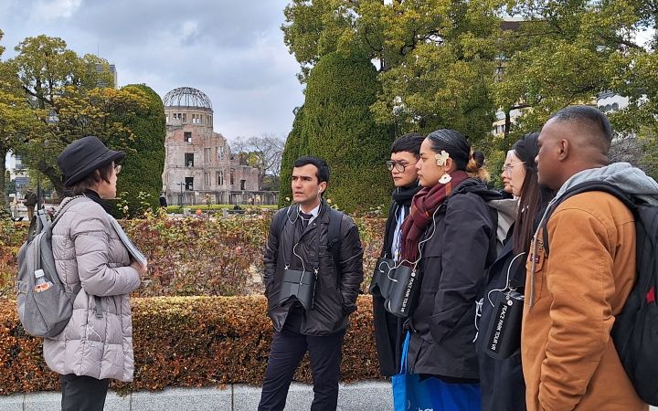
20 October 2025, Hiroshima, Japan – Teri Elbon serves as an Assistant Secretary at the Ministry of Foreign Affairs and Trade in the Marshall Islands, where she oversees multilateral affairs and coordinates the RMI’s participation in international engagements. In 2024, she joined the UNITAR Hiroshima Nuclear Disarmament and Non-Proliferation Training Programme to strengthen her capacity as a diplomat and ensure the Marshall Islands’ voice is heard in global efforts to advance nuclear disarmament and promote lasting peace.
In 2024, CIFAL Płock achieved a major milestone with the launch of the Autosobriety Poland platform, a digital hub dedicated at promoting responsible driving behaviours and preventing alcohol-related road incidents. This platform provides a range of interactive resources, including educational materials, online training modules, and awareness campaigns designed to engage diverse audiences, from young drivers to professionals. By leveraging technology, the platform makes the programme more accessible and scalable, allowing more people across Poland to participate in road safety training. The platform also facilitates partnerships with schools, businesses, and community organizations, ensuring that road safety education is integrated into daily practices.
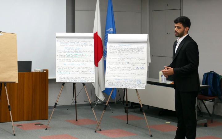
1 September 2025, Hiroshima, Japan - Mohammed Albadri is a fresh graduate of biomedical engineering from southern Iraq. He wants to make changes to the food insecurity problem of his country, which leads to his vision using hydrogels to save water and make the agriculture system more sustainable. The UNITAR “Entrepreneurship and Innovation: Promoting Food Security and Economic Development in Egypt, Iraq, and Lebanon” training programme helped Mohammed to gain skills to help make his vision come true.
15 August 2025, Hiroshima, Japan – Growing up in Asyut, Egypt, Ahmed Hassanein was no stranger to the struggles of smallholder farmers. He witnessed firsthand how low productivity and financial instability pushed many farmers to abandon their land in search of alternative livelihoods. This reality planted the seed of a lifelong mission for Ahmed: to bridge the gap between traditional farming practices and modern sustainable agriculture.
August 2025, Hiroshima, Japan – “The one-week course [of the Program for Global Human Resource Development for Peacebuilding and Development] was intense yet engaging, providing an opportunity to reflect on my career journey thus far…This experience, along with connecting with global cohorts, will undoubtedly be an asset in my long-term career,” says Akiko Hasegawa, Finance Officer in the Budget, Performance Review, and Strategic Planning (BPS) Vice Presidency at the World Bank. She joined the Bank in early 2025 in pursuit of her goal to strengthen results on the ground by enhancing the efficiency of the financial and operations management, which she believes will ultimately contribute to a better world.
The United Nations Satellite Centre (UNOSAT), part of UNITAR, delivers satellite analysis, training, and capacity development to UN entities and Member States. We leverage geospatial technologies to support humanitarian response, sustainable development, and resilience building worldwide. Through satellite analysis and targeted training initiatives, UNOSAT empowers UN entities and Member States to leverage geospatial technologies for evidence-based decision making. The project “Strengthening Capacities in the Use of Geospatial Information for Improved Resilience in Asia-Pacific and Africa”, implemented between 2021-2024 with funding from the Norwegian Agency for Development Cooperation (NORAD), supported eight countries across Asia-Pacific and Africa in strengthening their geospatial capabilities to address development challenges. The following case study from Bhutan demonstrates the transformative impact of this initiative.
In a world of rapid change and complex challenges, governments are increasingly recognizing the need to think ahead, plan better, and work together. The Ministry of Finance, National Planning and Trade of Seychelles realized the potential of strategic foresight and systems thinking for adopting a more integrated approach to strategic planning. What started as a collaboration between the government of Seychelles, the Resident Coordinator Office (RCO) for Mauritius and Seychelles in 2022, the United Nations Department of Economic and Social Affairs (UN DESA), and UNITAR, is gradually evolving into a way of working for the Ministry.


