Displaying 1141 - 1150 of 1539
UN CC:Learn has launched a new e-course that lays out opportunities for the African continent. The e-course is self-paced and free of charge available in English. Registrations are opened.
3 March 2020, Geneva, Switzerland - UNITAR and the Food and Agriculture Organization of the United Nations (FAO) recently signed an agreement to re-run its joint online course on Trade, Food Security and Nutrition to be delivered in Russian language for officials across Europe and Central Asia. This is an updated version of the same course delivered in 2018 which generated a huge interest across the region. The joint course in 2018 was able to serve only 25% of the applications received.
Humankind is indisputably entering a new digital era. The impact of rapid technological and scientific advances on our lives is so great that World Economic Forum’s founder Klaus Schwab termed this process as the Fourth Industrial Revolution. We are the witnesses of the transcendence through new frontiers.
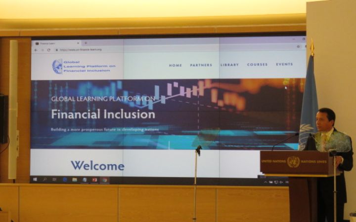
29 February 2020, Geneva, Switzerland - UNITAR and the Arab Gulf Programme for Development (AGFUND) launched its Global Learning Platform on Financial Inclusion during the 8th AGFUND Development Forum in Geneva, Switzerland on October 8, 2019.
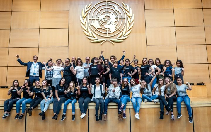
After the recent easing of COVID-19-related restrictions in Switzerland, UNITAR is delighted to offer a five-day training programme in Geneva specifically designed for the high school and university students. It will offer participants the chance to gain first-hand experience of the United Nations and will provide them with the necessary knowledge and skills to fully unfold their potential as global leaders.
13 February 2020, New York, USA – The United Nations Institute for Training and Research (UNITAR) New York Office welcomed the fourth class of its UNITAR Global Diplomacy Initiative (UGDI), a program dedicated to providing a unique, intimate training experience targeted at students in higher education who study politics, international relations, urban affairs, or related fields. This year’s participants come from diverse backgrounds and represent academia and professional fields. In the UGDI, they will learn from the connections and experience of UN delegates and academics alike.
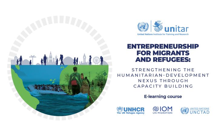
13 February 2020, Geneva, Switzerland - UNITAR developed the “E-learning course on Entrepreneurship for Migrants and Refugees” as a joint effort with the United Nations Conference on Trade and Development (UNCTAD), the Office of the United Nations High Commissioner for Refugees (UNHCR), and the International Organization for Migration (IOM).
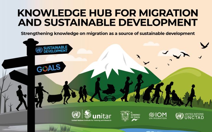
13 February 2020, Geneva, Switzerland - The Republic of Ecuador requested UNITAR to develop the Knowledge Hub for Migration and Sustainable Development, based on its expertise to enhance decision-making and support country-level action for overcoming global challenges through capacity building.
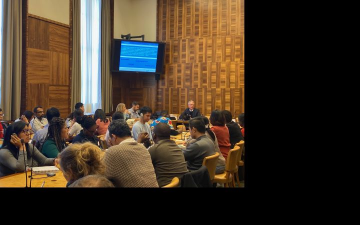
13 February 2020, Geneva, Switzerland- As part of the 12th Global Forum on Migration and Development (GFMD) summit, the Marketplace on migration initiatives took place from 21 to 23 January 2020, as a ‘matchmaking mechanism’ between those facing specific policy and practice issues and those providing targeted solutions in migration and development.
11 February 2020, Geneva, Switzerland – UNITAR was honored to host two groups of students from the Executive Master of Development Policies and Practices (DPP) of the Graduate Institute of International and Development Studies to share about the Agenda 2030 and its SDGs.


