The Impact Story Initiative aims to spotlight how our learners have applied new knowledge and skills following the delivery of training. Contrary to testimonials or success stories, impact stories can show the positive and not-so-positive elements as well as the intended and unintended results from what we do. By using a variety of quantitative and qualitative methods, these stories are an evaluative tool to find the impact of our training, examining whether individual, organizational or even wider change has taken place. We want to hear from you. What is your Impact Story? Download the Impact Story Flyer or contact evaluation@unitar.org.
Displaying 1 - 10 of 46
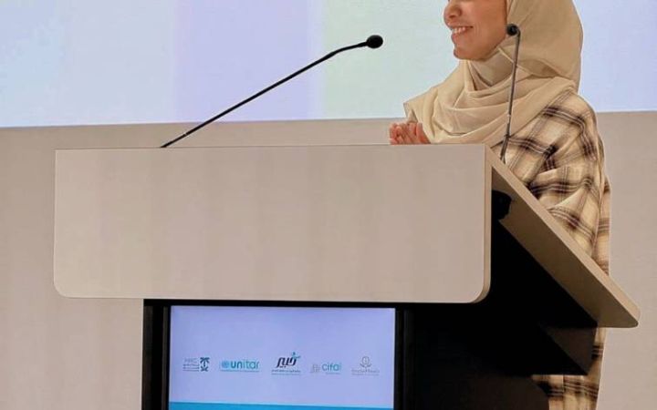
Limited awareness and understanding of Human Rights trigger a number of challenges, including discrimination, access to fair and independent justice, and conflicts. To this end, fostering knowledge, skills and attitudes in this field enables more inclusive, prosper, resilient, and peaceful societies. As a contribution to this end, the Saudi Human Rights Commission, UNITAR and Majmaah University, developed and implemented the Expert in Human Rights Programme in the Kingdom of Saudi Arabia.
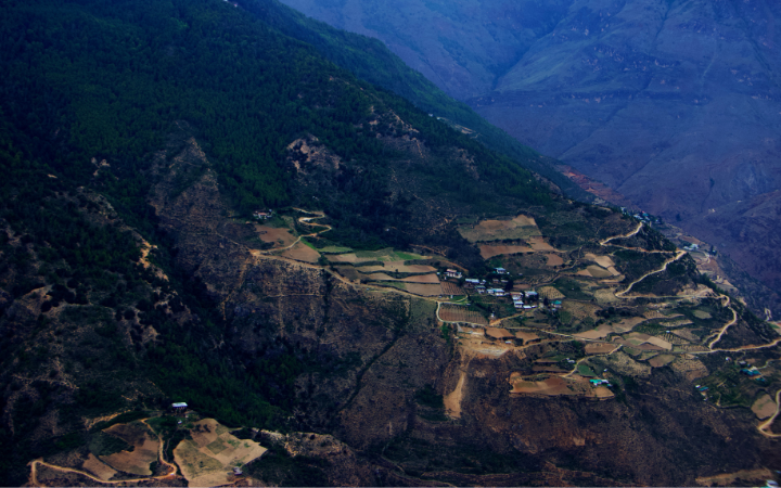
The United Nations Satellite Centre (UNOSAT), part of UNITAR, delivers satellite analysis, training, and capacity development to UN entities and Member States. We leverage geospatial technologies to support humanitarian response, sustainable development, and resilience building worldwide. Through satellite analysis and targeted training initiatives, UNOSAT empowers UN entities and Member States to leverage geospatial technologies for evidence-based decision making. The project “Strengthening Capacities in the Use of Geospatial Information for Improved Resilience in Asia-Pacific and Africa”, implemented between 2021-2024 with funding from the Norwegian Agency for Development Cooperation (NORAD), supported eight countries across Asia-Pacific and Africa in strengthening their geospatial capabilities to address development challenges. The following case study from Bhutan demonstrates the transformative impact of this initiative.
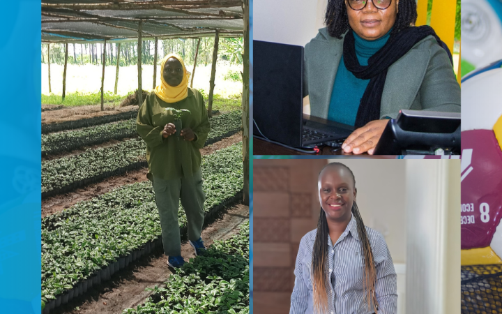
Climate change has challenged traditional livelihood strategies, such as agriculture and pastoralism, requiring alternative, resilient livelihood options. To develop capacities that can face these new realities, the UNITAR Division for Prosperity organized the “Developing green livelihoods for women and youth in Africa: Strengthening food security, supporting climate resilient economies” programme. This Impact Story reveals that the programme was useful to participants' needs and that the majority were able to use what they had learned, including participants who started the implementation of their business ideas or project proposals.
In March 2025, two consecutive earthquakes—measuring 7.7 and 6.7 magnitude — struck central Myanmar, causing widespread destruction. In the worst-affected areas, the earthquakes left 6.3 million people in urgent need of assistance and protection. Prior to the disaster, 4.3 million people were already in need in these areas. The earthquake pushed an additional 2 million people into crisis.
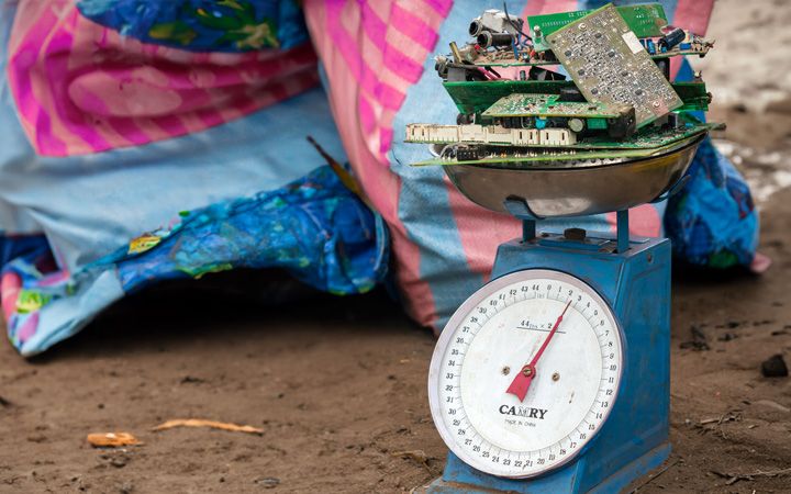
Electrical and electronic equipment have revolutionized how we live, work, and communicate, and are today integrated into our daily lives. However, as this equipment reaches the end of its life cycle, e-waste generation is inevitable. Recognizing the need to address e-waste generation and recyclability, UNITAR Sustainable Cycles (SCYCLE) Programme and Microsoft joined forces to tackle this issue. The collaboration, rooted in a shared vision for sustainability, has yielded tangible results.
The "Road Data Management System App - OKOA MAISHA" project aimed to streamline incident data collection and improve road safety through technology and awareness initiatives in Tanzania. The project was designed to address critical road safety challenges by leveraging mobile technology for real-time data collection and analysis. This approach was intended to enhance the efficiency and effectiveness of traffic management and accident response.
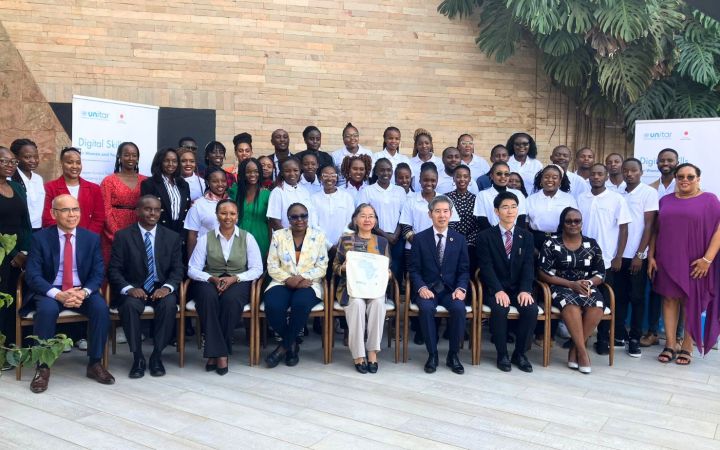
The Developing Essential Digital Skills for Women and Youth in Africa, aimed to equip participants with critical digital, entrepreneurial, and professional skills to enhance employability and economic resilience. Supported by the Government of Japan and technical partners IBM and Microsoft East Africa, the initiative attracted over 7,000 participants from 24 African countries, with 70% being women and 92% under 35 years old. The three-phase programme combined foundational training, hackathons, and leadership development, enabling many participants to apply their knowledge in professional settings and entrepreneurial ventures. A follow-up survey revealed that 83% of participants utilized their newly acquired skills, with significant impacts on business growth, workplace efficiency, and project development. While the programme was well received, participants suggested improvements in engagement, certification processes, and access to networking opportunities.
Until 08 October 2024, Poland had received 981,335 refugees[1] from Ukraine fleeing the war in the country, most of whom are women and children (UNHCR, 2024a, 2024b). Efforts to assist refugees’ economic integration are underway, including job training and language classes, with support from international and local organizations (UNHCR, 2024b). As part of these efforts, the UNITAR Division for Prosperity, with financial support from the Government and the People of Japan, organized the programme “Emergency assistance for Ukrainian women refugees in Poland with digital 4IR training: Bolstering livelihoods” between October 2023 and March 2024.
The programme targeted Ukrainian women refugees in Poland and aimed at enhancing their employability by providing them the opportunity to acquire new digital skills for the modern job market that either reinforced their previous professional experience to adapt to their new environment or opened ways for exploring new career paths. The programme intended to develop IT and entrepreneurial skills and mindsets to bolster participants’ livelihoods, with emphasis on refugees with more disadvantaged backgrounds.
Five hundred women out of 1,000 applicants were selected to take part in the programme, seventy-five per cent of whom are between 30 and 46 years old. Participants have diverse professional backgrounds as illustrated in Figure 1. It is also worth noting that eighty per cent of them hold a high educational degree including a bachelor’s, master’s and even PhD.
[1] The Ukrainian Embassies in Poland and Japan prefer to use the term “evacuees” instead of “refugees” in specific contexts.
This story is about one of the two radio programmes that has sparked a wave of environmental consciousness across Zimbabwe, educating its listeners and fostering a nationwide discussion on climate change. Based on interviews with three different individuals—the radio host, an interviewer, and a teacher—the story is explored through their unique perspectives, showcasing how the program has influenced both its creators and educators who engage with it. By providing accessible, engaging content, the show was a vital source of climate change education for a wide audience, from urban centres to remote rural communities. Its ability to spark meaningful dialogue has fostered a nationwide discussion on critical environmental issues, inspiring listeners to become more aware of their impact on the planet and take action in their daily lives.
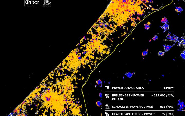
The increase in disaster occurrences and the high numbers of victims resulting from conflicts are urgent issues that require effective and rapid action. Satellite imagery analysis is a vital tool essential in this response, as it can cover large areas and provide accurate information in near real-time.
UNOSAT’s Emergency Mapping Service (EMS), funded by the Norwegian Ministry of Foreign Affairs (NMFA), provides satellite image analysis during humanitarian emergencies related to disasters, complex emergencies and conflict situations. With a 24/7 year-round availability to process requests, the team of experienced analysts ensure timely and tailored delivery of satellite imagery-derived maps (both web and static maps), reports and data ready for direct inclusion in Geographic Information Systems (GIS) for evidence-based decision-making and operational planning.
UNOSAT’s Emergency Mapping Service (EMS), funded by the Norwegian Ministry of Foreign Affairs (NMFA), provides satellite image analysis during humanitarian emergencies related to disasters, complex emergencies and conflict situations. With a 24/7 year-round availability to process requests, the team of experienced analysts ensure timely and tailored delivery of satellite imagery-derived maps (both web and static maps), reports and data ready for direct inclusion in Geographic Information Systems (GIS) for evidence-based decision-making and operational planning.


