Displaying 3021 - 3030 of 3483
5 to 8 July 2011, Dakar, Senegal – A regional awareness-raising workshop on “Enhancing Cooperation and Coordination for the Implementation of the Basel, Rotterdam and Stockholm Conventions” for French-speaking African countries and key stakeholders was held in Dakar from 5 to 8 July 2011, coordinated by the Convention Secretariats.
UNITAR is supporting the Ghana Environmental Protection Agency (EPA) to strengthen the capacities and capabilities of government officials and stakeholders outside of government to address and identify polychlorinated biphenyls (PCBs) and manage existing sources of PCBs as well as their elimination/destruction. This issue was identified as a priority in the National Implementation Plan for Persistent Organic Pollutants (Stockholm Convention) for the Republic of Ghana.
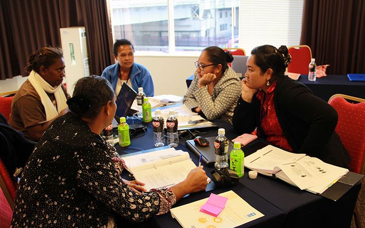
From 25 to 26 August 2011, the UNITAR New York Office is organizing a workshop on “Women in Diplomacy” at the United Nations Headquarters.
Participatory strategic planning at the local level is an important prerequisite for effective environmental quality management.
Results-oriented and participatory planning can help achieving concrete improvements in environmental quality.
13 to 15 July 2011, Asmara, Eritrea. Following Eritrea’s June 2011 persistent organic pollutants inventory validation workshop, UNITAR supported a two-day national training workshop on strengthening skills for action plan development to implement the Stockholm Convention.
6 July 2011, Geneva, Switzerland. UNITAR Executive Director took part in the meeting of Principals of ‘ECESA Plus’ that gathered in Geneva on 6 July. One of the main objectives of the meeting was to advance preparations by the UN system for the 2012 UN Conference on Sustainable Development, Rio+20.
7 July 2011. UNITAR Executive Director, Mr. Carlos Lopes, participated in the Secretary-General’s meeting with UN Principals in Geneva on 7 July. The meeting was organized during the Secretary-General’s visit and participation in the High-Level Segment of the Economic and Social Council that took place at the beginning of July. Mr. Ban Ki-moon addressed the Economic and Social Council in the context of the launch of the 2011 Millennium Development Goals Report.
The Public Finance and Trade Programme is pleased to announce its new calendar of e-learning courses for Fall/Winter of 2011-12 for a global audience of finance-sector and trade officials. Over 50 executive-level e-Learning courses in English, French and Spanish are now open for registration. All courses are internet-based, moderated by senior international experts, asynchronous and place emphasis on online discussions and self-paced learning.
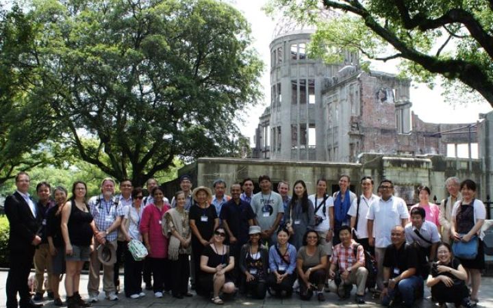
The UNITAR Series on the Management and Conservation of World Heritage Sites 2011 Session was held recently in Hiroshima, Japan, and was attended by representatives of 19 countries.


