Displaying 21 - 30 of 191
At a time when natural disasters are becoming more numerous and frequent, UNOSAT aims to equip all countries with geographical information systems (GIS) to make informed decisions and reduce the risks associated with these natural disasters. To this end, UNOSAT has set up the project ‘Strengthening Capacities in the Use of Geospatial Information for Improved Resilience in Asia-Pacific and Africa’. The project focuses on developing the capacity to use GIS in government agencies across eight partner countries: Bangladesh, Bhutan, Fiji, Lao PDR, Nigeria, Solomon Islands, Uganda, and Vanuatu.
Captain Stanley Osaba, working at the National Emergency Operations and Coordination Centre under the Department of Relief, Disaster Preparedness and Management in the Office of the Prime Minister in Uganda, experienced a significant professional transformation. This transformation was sparked by his participation in a UNOSAT training course that covered the introduction and advanced GIS training sessions, which is part of the broader "Capacity Building in the Use of Geospatial Information for Improving Resilience in Asia-Pacific and Africa (2021-2024)" project. Initially a passive observer of GIS technology, Captain Osaba became an active participant, capable of developing GIS products and providing sound advice to specialists. "The training empowered me to confidently guide the specialists, offering informed views and recommendations based on my newfound understanding of the technology's capabilities," he explains.
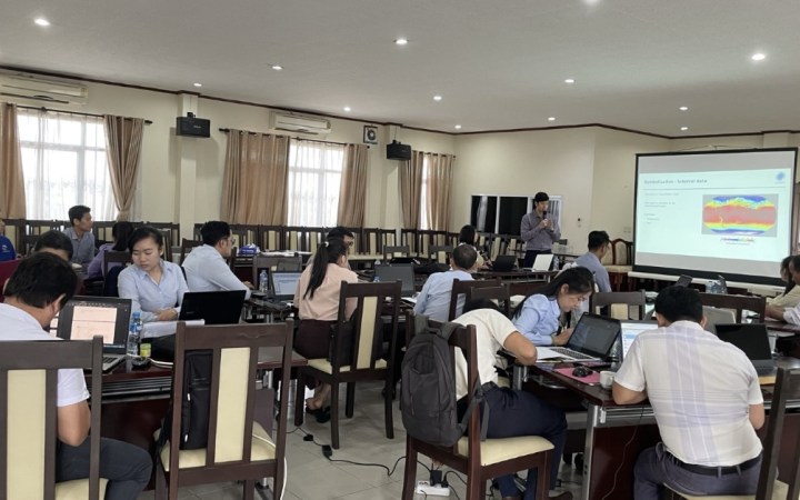
Mrs Khaemeuy Chao is an employee of the technical staff of the Weather Forecasting and Warning Division, Department of Meteorology and Hydrology of the Ministry of Natural Resources and Environment of the Lao People's Democratic Republic. Her role involves disseminating weather forecasts, monitoring and analysing weather conditions for issuing weather forecasts, and severe weather warnings, writing press releases, and compiling monthly summary reports. Recently, Mrs Chao decided to strengthen her capacity in this area by attending training courses organised by UNOSAT as part of the project "Strengthening Capacities in the Use of Geospatial Information for Improved Resilience in Asia-Pacific and Africa (2021-2024)". She has participated in various courses, including "Strengthening Capacities in the Use of Geospatial Information Technology (GIT) for Disaster Risk Management", "Advanced Training on Earth Observation (EO) Applications for Disaster Risk Management" and "Advanced Training on Geospatial Information Technologies for Decision Making in Disaster Risk Reduction".
In the wake of the devastating 2004 Indian Ocean tsunami, which claimed over 230,000 lives and left millions displaced, the urgent need for a coordinated disaster response system among international agencies, governments, and humanitarian organizations became glaringly evident. In response, the Global Disaster Alert and Coordination System (GDACS) was established to bridge the gap between real-time disaster data and response capabilities. Integral to this effort was UNOSAT’s development of the Satellite Mapping Coordination System (SMCS) in 2010, following the Haiti earthquake, which facilitates real-time coordination between mapping organizations during disaster events.
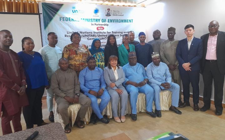
12 July 2024, Abuja, Nigeria – From July 8 to 12, 2023, representatives from various environmental and meteorological agencies in Nigeria convened for a vital workshop aimed at enhancing the nation's capacity in geospatial information technology (GIT). This initiative, part of the project "Strengthening Capacities in the Use of Geospatial Information for Improved Resilience in Asia-Pacific and Africa (2021-2024)," is supported by NORAD and jointly organized by the Federal Ministry of Environment and UNOSAT, the United Nations Satellite Centre.
At the heart of Bhutan's evolving landscape, Mr. Chokila emerges as a key figure in driving geospatial developments. In his role as Superintendent Survey Engineer at the National Land Commission Secretariat (NLCS), his collaboration with UNITAR-UNOSAT has been instrumental in this progress. Chokila's quest for professional improvements led him to enrol in UNOSAT's training courses, which are part of the project “Strengthening Capacities in the Use of Geospatial Information for Improved Resilience in Asia-Pacific and Africa (2021-2024)”. He has taken part in various courses, including “UAV Unmanned Aerial Vehicle Data Collection, Processing and Mapping”, “Cloud GIS and Web Application Development” and “Advanced Remote Sensing for Sustainable Land Management”. Through training and implementation of advanced techniques, Chokila's journey exemplifies the tangible outcomes of integrating cutting-edge technology into Bhutan's National Land Commission Secretariat (NLCS).
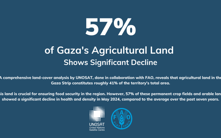
13 June 2024, Geneva, Switzerland – The United Nations Satellite Centre (UNOSAT), in collaboration with the Food and Agriculture Organization of the United Nations (FAO), has released an update on the health and density of cropland in the Gaza Strip.
Amid the ongoing conflict in Ukraine, professionals like Serhii are expanding their skill set to adapt to new challenges. Serhii, a dedicated architect and a member of the UNESCO country team in Ukraine, shared his insights into his evolving role and the impact of recent training programmes on his work.
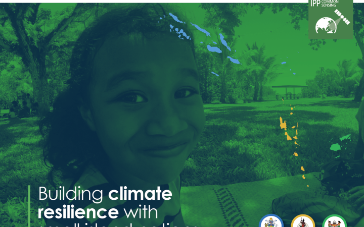
28 May 2024, Geneva, Switzerland - In the vast expanse of the Pacific, where the azure waters meet lush islands, the threat of climate change is not distant, but a reality deeply anchored in the present. Rising sea levels, frequent flooding, and coastal erosion pose relentless threats to their rich ecosystems and communities. Despite contributing minimally to global carbon emissions, these island nations face staggering costs to bolster their infrastructure against climate-induced hazards. Estimates suggest that Pacific island countries need to invest between 6% and 9% of their annual GDP—which is approximately $1 billion annually for the region—to fortify their defences against climate change. In response to these urgent needs, UNOSAT has stepped up, leveraging its technological prowess and capacity-building initiatives to enhance resilience and safeguard livelihoods.
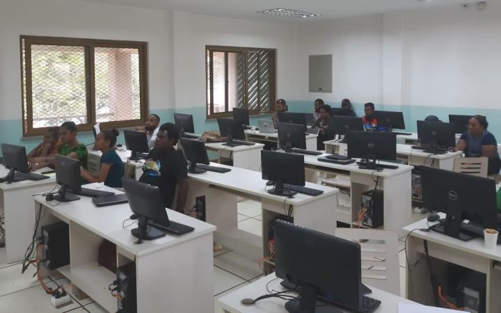
Branson Pitakia, Information Technology Officer at the Solomon Islands National Disaster Management Office, illustrates the potential of knowledge and innovation in disaster management. His story shows how geospatial technology can help in disaster preparedness and response, and ultimately protect communities.


