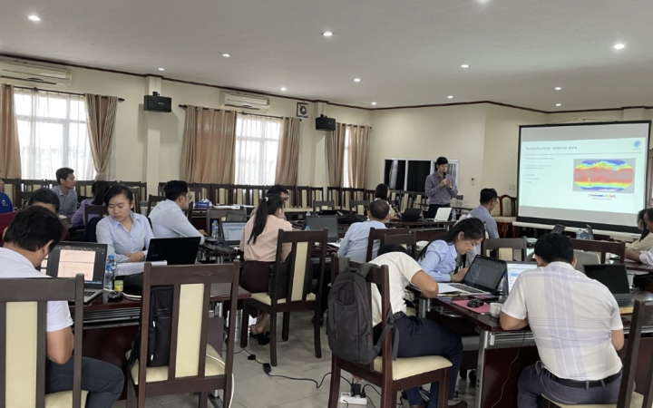
Captain Stanley Osaba, working at the National Emergency Coordination and Operations Centre under the Department of Relief, Disaster Preparedness and Management in the Office of the Prime Minister in Uganda, experienced a significant professional transformation. This transformation was sparked by his participation in a UNOSAT training course that covered the introduction and advanced GIS training sessions, which is part of the broader "Capacity Building in the Use of Geospatial Information for Improving Resilience in Asia-Pacific and Africa (2021-2024)" project. Initially a passive observer of GIS technology, Captain Osaba became an active participant, capable of developing GIS products and providing sound advice to specialists. "The training empowered me to confidently guide the specialists, offering informed views and recommendations based on my newfound understanding of the technology's capabilities," he explains.
Professional Growth and Implementation
One of the most significant advances is that the training facilitated his approaches to independently creating overlays and maps using ArcGIS Pro, which proved invaluable in presenting data to strategic managers. Additionally, it facilitated the development of an institutional portal to streamline data collection and presentation.
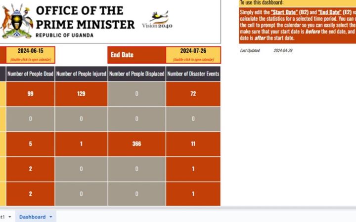
A key innovation resulting from the training was the creation and development of a dashboard for the Daily Situation Report (SITREP). Developed with the help of Shafiq Nedala, a UNITAR-UNOSAT in-country expert, this dashboard integrated real-time data from across the country into a centralized platform, enhancing data entry efficiency and accessibility. It improved decision-making by providing instant access to historical data and trends. "The dashboard streamlines trend analysis and puts crucial information at our fingertips," notes Captain Osaba.
Challenges and Future Prospects
Despite facing challenges such as limited equipment and budget constraints, Captain Osaba highlights the positive impact of the training and advocates for its continuation and expansion. The recent acquisition of a server through partnerships with PROACT- FAO partially addressed these issues, but the need for high-capacity laptops for field assessments remains.
Captain Osaba's experience demonstrates the transformative power of UNOSAT's GIS training in empowering individuals and improving disaster preparedness and response at the national level. As Uganda continues to face various disaster-related challenges, the skills and knowledge gained from this training are a testament to the power of education in mitigating and managing these situations effectively. Captain Stanley's advocacy for continued GIS training for his colleagues and supervisors underscores his belief in UNOSAT’s Training Programmes. "I recommend this training for everyone; it dramatically simplifies workflows and yields exceptional outcomes," he affirms.


