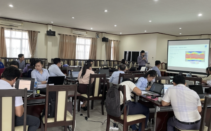
Mrs Khaemeuy Chao is an employee of the technical staff of the Weather Forecasting and Warning Division, Department of Meteorology and Hydrology of the Ministry of Natural Resources and Environment of the Lao People's Democratic Republic. Her role involves disseminating weather forecasts, issuing monitoring and analysing weather conditions for weather forecasts, and severe weather warnings, writing press releases, and compiling monthly summary reports. Recently, Mrs Chao decided to strengthen her capacity in this area by attending training courses organised by UNOSAT as part of the project "Strengthening Capacities in the Use of Geospatial Information for Improved Resilience in Asia-Pacific and Africa (2021-2024)". She has participated in various courses, including "Strengthening Capacities in the Use of Geospatial Information Technology (GIT) for Disaster Risk Management", "Advanced Training on Earth Observation (EO) Applications for Disaster Risk Management" and "Advanced Training on Geospatial Information Technologies for Decision Making in Disaster Risk Reduction".
Leveraging Advanced Techniques
Based on this experience, Khaemeuy Chao has developed advanced techniques after following training sessions of which the content built up from a basic to an advanced level in various topics. Through advanced training in Earth Observation (EO) applications for disaster risk management, she honed her expertise in the use of satellite imagery and remote sensing methodologies.
These new skills have enabled me to carry out comprehensive assessments of flood- and drought-prone areas, improving the accuracy of weather forecasts and warning systems, explains Mrs. Khaemeuy Chao.
Most recently, she completed the “Advanced Training on Geospatial Information Technologies for Decision-Making in Disaster Risk Reduction”.
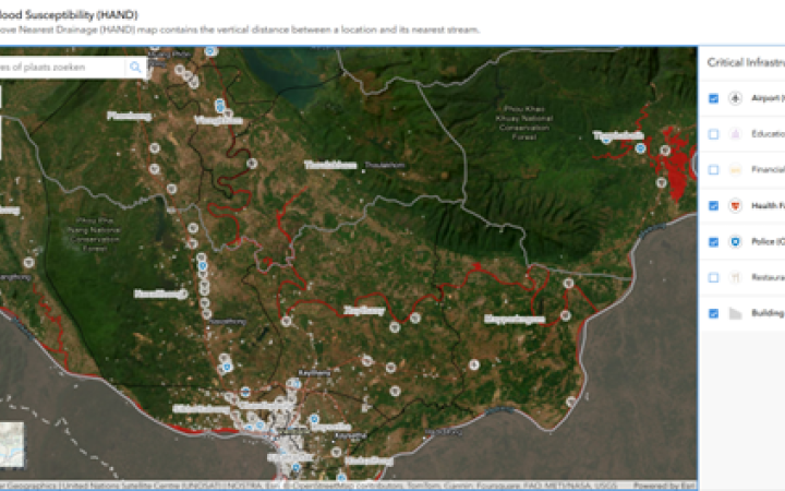
"This intensive program equipped me with essential tools such as Flood susceptibility (HAND), Multi-Criteria Decision Analysis (MCDA)MCDA, and Decision Support System (DSS), which play a pivotal role in facilitating informed decision-making processes in disaster management," Chao emphasizes.
Armed with these resources, Mrs. Chao now possesses the means to identify high-risk areas and devise proactive strategies to mitigate potential disasters effectively.
Reflecting on Impact
Reflecting on the impact of the training, Khaemeuy attributes a significant portion of her professional growth to the insights acquired from these sessions. "While the full integration of certain applications into my workflow is still underway, I anticipate their imminent utilisation to further enhance my performance," she observes.
Beyond technical proficiency, Khaemeuy's participation in the training sessions has fostered a broader understanding of decision-making processes and problem-solving strategies. "Interacting with fellow participants from diverse backgrounds has enriched my perspective and imbued me with practical insights that I can apply to my work," Khaemeuy adds.
UNOSAT is encouraging growth
Looking ahead, Khaemeuy encourages aspiring geospatial information enthusiasts to seize the opportunity to participate in UNITAR/UNOSAT training sessions. Her experience serves as a testament to the value of these programs in fostering professional development and enhancing performance.
In conclusion, Khaemeuy Chao's journey exemplifies the impact of UNITAR/UNOSAT training programs on individuals working in the field of disaster risk management. Through a combination of theoretical knowledge and practical skills, she has emerged as a more adept and empowered professional, ma a meaningful difference in her role within the Weather Forecasting and Warning Division.


