Displaying 191 - 200 of 284
Nkiru recognized that an important factor that contributed to foster application of knowledge in her organization is the existence of a large network of women with the capabilities to utilize the new knowledge without the need for extra personnel.
Les participants, tous originaires d’Afrique sub-saharienne, étaient pour la plupart des représentant de gouvernements et d’autres autorités impliquées dans la formulation de politique agricole, de programme et mesures.
"We developed a management model for an entrepreneurship promotion center, which took into account the elements mentioned in the course."
If the rising trend of NCDs is not addressed now, the current burden will just continue to increase and the cost of this will be felt across all aspects of health care, across government and within local communities.
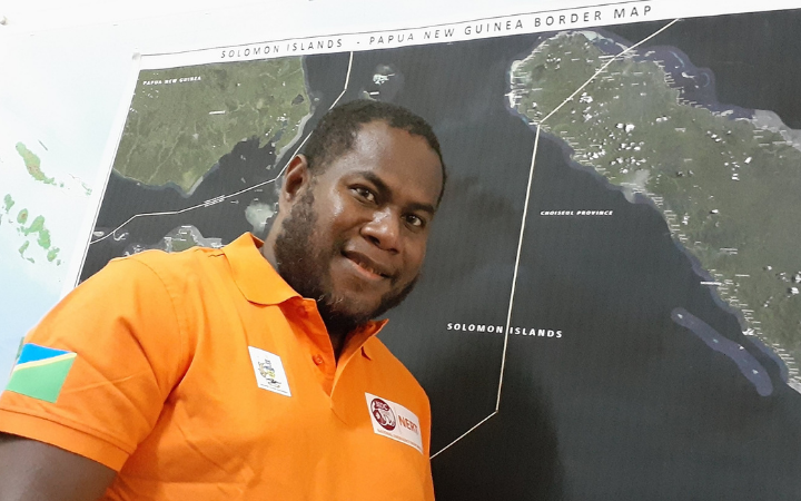
“One of the important technical backstopping we’ve received is the lockdown maps which have helped the NDMO’s camp sector committee identify potential quarantine stations.”
"The work on this course has been a very practical level of collaboration linked to the network and as a result, we have also started looking into developing microlearning on statistics.”
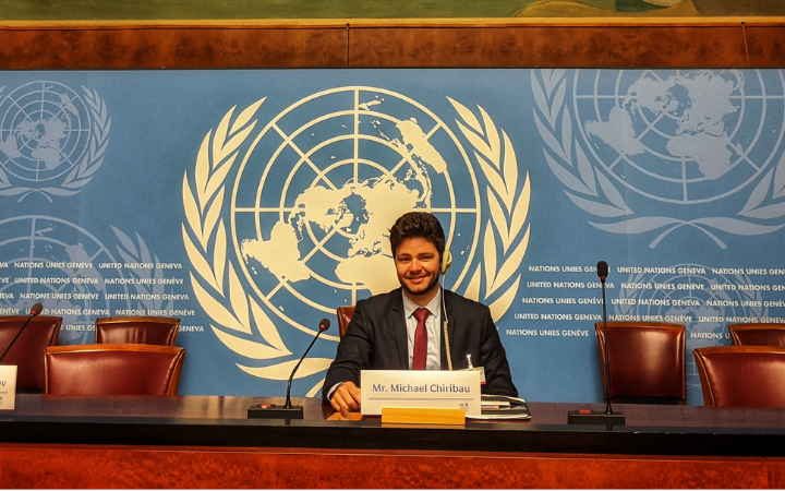
“As a student, it is not common to come across professionals who work in the UN System. This was an opportunity to interact with many of them!”
“We discovered that the SDGs are completely interrelated. If you are working to improve access to water, you are going to improve access to health. Consequently, you will improve access to education. Consequently, you will improve access to employment.”
"I plan to open my own cafe where I can employ single mothers and young people and teach them everything I learnt about developing simple business ideas that, hopefully, they will be able to apply to their own lives.”
“The course brings interesting case studies and I connected with two of them that were about microfinance institutions from Kenya that target people in rural areas.”


