Displaying 111 - 120 of 3501
19 September 2025, Bogotá, Colombia – In a significant move to strengthen the global fight against illicit financial flows, the United Nations Institute for Training and Research (UNITAR), in partnership with the International Narcotics and Law Enforcement Affairs Section (INL) of the U.S. Department of State, the Financial Information and Analysis Unit (UIAF) of Colombia, and University of Antioquia has successfully certified over 1,200 professionals in the first cohort of the Standard Diploma for Compliance Officers.
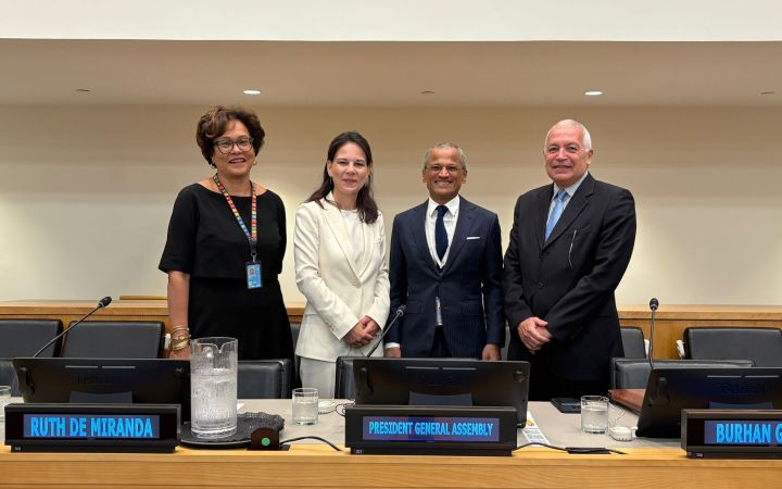
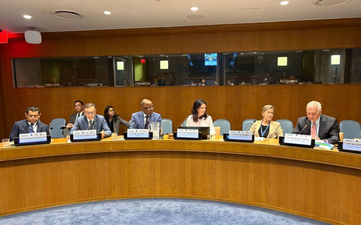
18 September 2025, New York, USA – On 15-16 September 2025, the UNITAR office in New York, in partnership with the Permanent Mission of the Republic of Singapore and the Forum of Small States (FOSS), convened the annual Briefing for Delegates on the General Assembly and the Main Committees. The two-day programme, held at UN Headquarters, brought together 275 participants, including newly arrived diplomats, for a comprehensive orientation to the structure, rules, and practices of the General Assembly, while also fostering a deeper understanding of its evolving role within the UN system.
This year’s edition carried special significance as it coincided with the 80th anniversary of the United Nations—a milestone moment to reflect on eight decades of multilateralism and collective action.
This year’s edition carried special significance as it coincided with the 80th anniversary of the United Nations—a milestone moment to reflect on eight decades of multilateralism and collective action.
18 September 2025, Hiroshima, Japan - United Nations Institute for Training and Research (UNITAR) and ITS Education Asia invite motivated Asia-Pacific youth to apply for the “UNITAR Youth Ambassador Asia-Pacific Programme 2025”. The programme will run for 8 weeks with the theme “Future Skills for Grassroots Leadership”.
15 September 2025, New York, USA — The United Nations Institute for Training and Research office in New York , in collaboration with the Permanent Mission of Switzerland to the United Nations, successfully concluded the 2025 Joint Swiss-UNITAR Briefing on Budgetary Matters, held from 8 to 10 September at United Nations Headquarters, garnering a total of 150 delegates across 3 days.
15 September 2025, Merida, Mexico - As part of World Breastfeeding Week 2025, the International Training Centre for Authorities and Leaders in Merida (CIFAL Mérida), Grupo ASUR, and UNICEF Mexico held the webinar “Breastfeeding in Airports: Spaces that Care, Inform, and Support”
11 September 2025, Merida, Mexico - The International Training Centre for Authorities and Leaders in Merida (CIFAL Merida), an affiliated training centre of the United Nations Institute for Training and Research (UNITAR), is promoting Sustainable Development Goal (SDG) 3: Good Health and Well-being through actions to support the safe donation and transport of organs from Mérida International Airport.
8 September 2025, New York, USA - UNITAR, in partnership with the Permanent Missions of Ecuador, Finland, and Malaysia, hosted the Transition Workshop for the 80th Office of the President of the General Assembly (OPGA). Bringing together current, former, and incoming OPGA staff, the workshop was a platform for exchanging experiences, best practices, and institutional knowledge to ensure a seamless handover to the 80th Session. This year’s edition held special significance as it coincided with the UN’s 80th anniversary—a milestone moment to reflect on eight decades of multilateralism and prepare the Assembly’s leadership for today’s complex global challenges.
4 September 2025, Geneva, Switzerland - The United Nations Institute for Training and Research (UNITAR), in collaboration with IC Education, successfully concluded the second edition of its global youth leadership programme, “Prosperity Unleashed: Empowering Young Innovators - Youth Leadership Workshop in Geneva”, held from 12–15 August 2025 in Geneva, Switzerland.
10 September 2025, Geneva, Switzerland – As the world faces pressing challenges to sustainable development, young scientists are at the forefront of innovation and change. To recognize and encourage outstanding contributions, the World Association of Young Scientists (WAYS), the Wenzhou Growth Foundation for Young Scientists, and the UNITAR Affiliated Center – Global SDGs and Leadership Development Center, with the support of the United Nations Institute for Training and Research (UNITAR), have jointly launched the 2025 Young Scientist Sustainable Development Goals Award (2025 Young Scientist SDGs Award).
2 September 2025, Geneva, Switzerland — In times of uncertainty, multilateralism remains the beacon of peace and cooperation, more essential than ever to confront today’s multifaceted diplomatic challenges and support inclusive global decision-making.


