Displaying 121 - 130 of 191
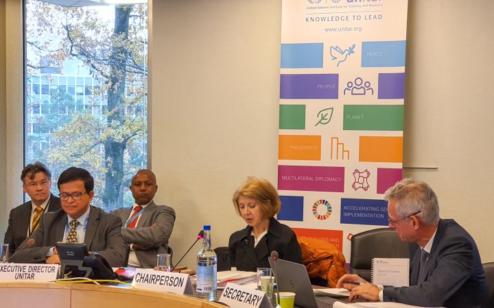
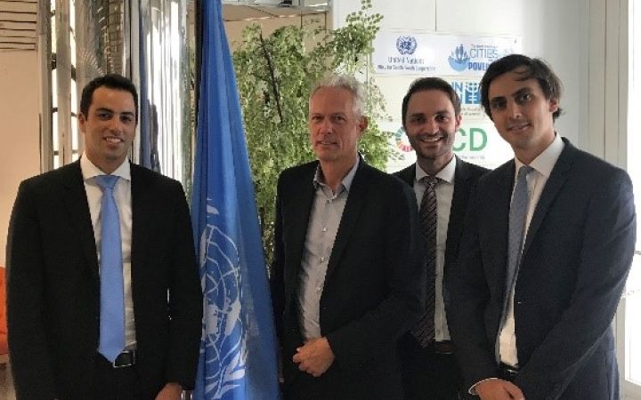
29 November 2019, Geneva, Switzerland - The Board of Trustees of the United Nations Institute for Training and Research (UNITAR) concluded its Sixtieth Session, which convened from 28 to 29 November 2019. Key decisions of the session include adoption of the $88 million programme budget for 2020-2021 and the integration into UNITAR of The Defeat-NCD Partnership with a biennial budget of $31 million.
Indonesia is in one of the world’s most natural disaster-prone areas and is at risk to multiple hazards, including flooding, earthquakes, landslides, tsunami, volcano, and cyclone.
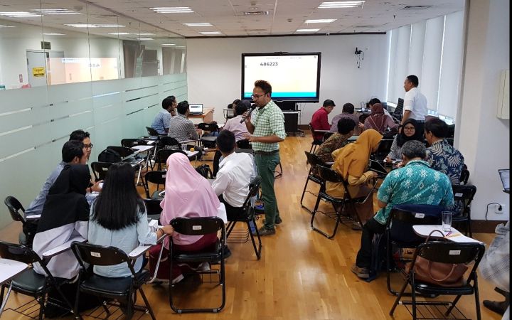
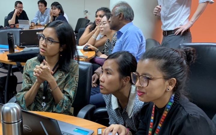
14 – 18 October 2019, Jakarta, Indonesia - Throughout 2018, Indonesia's National Disaster Mitigation Agency (BNPB) recorded almost 2,000 natural disasters that claimed more than 4,000 lives and displaced approximately 3 million people. Disaster events occurred in 2018 also caused severe financial losses up to $billion according to Indonesia’s National Disaster Mitigation Agency. The Government of Indonesia spends $300 to $500 million annually on post-disaster reconstruction.
14 – 18 October 2019, Jakarta, Indonesia - Throughout 2018, Indonesia's National Disaster Mitigation Agency (BNPB) recorded almost 2,000 natural disasters that claimed more than 4,000 lives and displaced approximately 3 million people. Disaster events occurred in 2018 also caused severe financial losses up to $billion according to Indonesia’s National Disaster Mitigation Agency. The Government of Indonesia spends $300 to $500 million annually on post-disaster reconstruction.
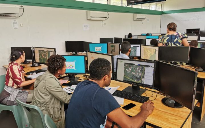
13 September 2019, Suva, Fiji – Disasters caused by natural hazards and climate change affect about 350 million people on average each year, according to the Global Humanitarian Overview 2019 (UN-OCHA, 2019). The human cost tends to be higher in vulnerable areas of the Pacific SIDS, often due to the limited data available for preparedness and early response actions.
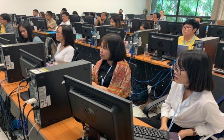
09 September 2019, Bangkok, Thailand – UNOSAT delivered a training on geospatial big data applications for sustainable development to enhance the capacity of the Member States of Association of Southeast Asian Nations (ASEAN) together with regional partners, from 5 to 9 August 2019, at the Space Krenovation Park (SKP) in Chonburi province of Thailand.
4 September 2019, Geneva, Switzerland - Strategy consultants from Simon-Kucher & Partners visited UNITAR over the summer to explore and assess new income streams for growth.
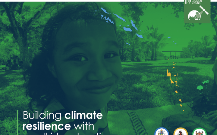
24 June 2019, Geneva, Switzerland – In February 2019, the CommonSensing project was officially launched in Fiji, Vanuatu and Solomon Islands and the project has now moved forward to Phase 2: Addressing Needs. CommonSensing aims to support three selected Commonwealth Small Island Developing States (SIDS) with improving national climate resilience through the use of satellite remote sensing applications.
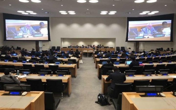
7 April 2019, New York, United States - Following the Report of the Secretary-General (E.2019/81), the United Nations Institute of Training and Research (UNITAR) Headquarters and the New York office started preparations for delivering the report to the United Nations Member States, and consultations in order to produce the legislative response from the Economic and Social Council (ECOSOC) of the United Nations Member States.
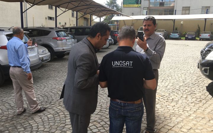
17 May 2019, Geneva, Switzerland – For a full week, between 01 and 07 May 2019, OHCHR and UNOSAT organized a training for members of Yemen’s National Committee to Investigate Alleged Violations of Human Rights (NCIAVHR) and representatives from the Office of the United Nations High Commissioner for Human Rights (OHCHR). This programme, which took place in Addis Ababa, Ethiopia, focused on the use of geospatial tools to investigate alleged violations of International Humanitarian Law.
10 May 2019, Bangkok, Thailand – From 07 to 10 May 2019, UNOSAT organised a training on operational application of geospatial information technology, generously hosted by the United Nations Economic and Social Commission for Asia and the Pacific (ESCAP), in Bangkok, Thailand.
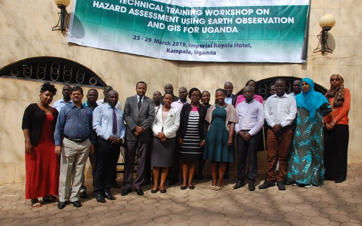
24 technical experts from the government and academic institutions in Uganda successfully completed a one-week course in the use of Earth observations (EO) and geographic information system (GIS) for hazard assessment, delivered by UNOSAT from 25 to 29 March 2019 in Kampala, Uganda. When it comes to GIS technical training, the trend towards a more balanced gender ratio has been remarkably harder to achieve; however, this learning event had over 50 percentages of female participants.


