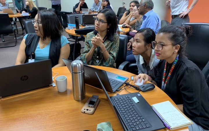
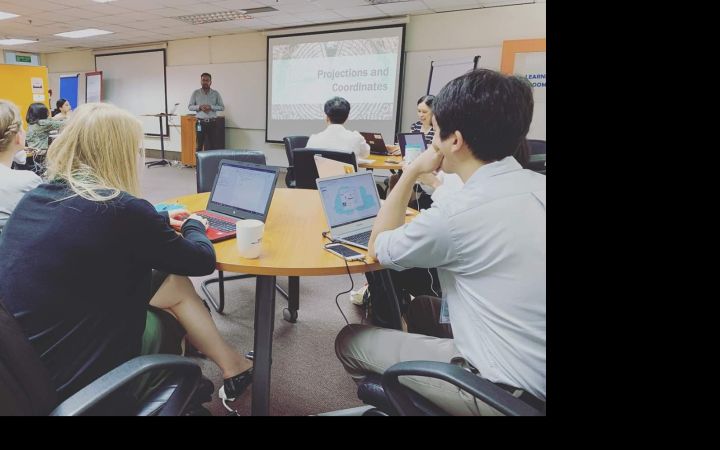
10 May 2019, Bangkok, Thailand – From 07 to 10 May 2019, UNOSAT organized a training on operational application of geospatial information technology, generously hosted by the United Nations Economic and Social Commission for Asia and the Pacific (ESCAP), in Bangkok, Thailand. Participants were invited from the United Nations agencies, including OCHA, UNDP, UNOSSC, as well as UNESCAP divisions such as ICT and Disaster Risk Reduction Division (IDD), Environment and Development Division (EDD), Energy Division (ED), and Transportation Division (TD).
This initiative was made possible thanks to funding from our long-standing partner NORAD, the Norwegian Agency for Development Cooperation. The training course intends to build capacity within multiple segments of the United Nations on utilising Geospatial Information Technology (GIT) for their contribution to Sustainable Development Goals. GIT is now widely considered as an “enabling technology” from the benefits it brings across a wide variety of domains. The noticeably large attendance speaks for the strong interest of UN staff for this subject while the remarkable gender ratio (60% female) shows that GIT is truly becoming a mainstreamed tool.
“GIS and its applications were an undiscovered territory to me that I was always curious about. UNOSAT's training on ‘Operational Application of Geospatial Information Technology for the UN’ gave me the tools to explore my project sites and opened a window for understanding its potential for evidence-based decision making.” - Cerin
Over the duration of the course, participants were introduced to different operational applications of Geographic Information System and Remote Sensing starting from basic introduction, analysis to visualisation and mapping. The interactive mode of training delivery and utilisation of simulation, roleplay, games were highly appreciated. UNOSAT team will continue to work with the participants in developing mini-projects where each of the participants can apply the skills directly on their job.
It’s good to get first-hand explanations of technics at the forefront of DRR” - Laura
“This training provided me with practical geospatial skills which are really important for achieving sustainable development” - Ayeisha


