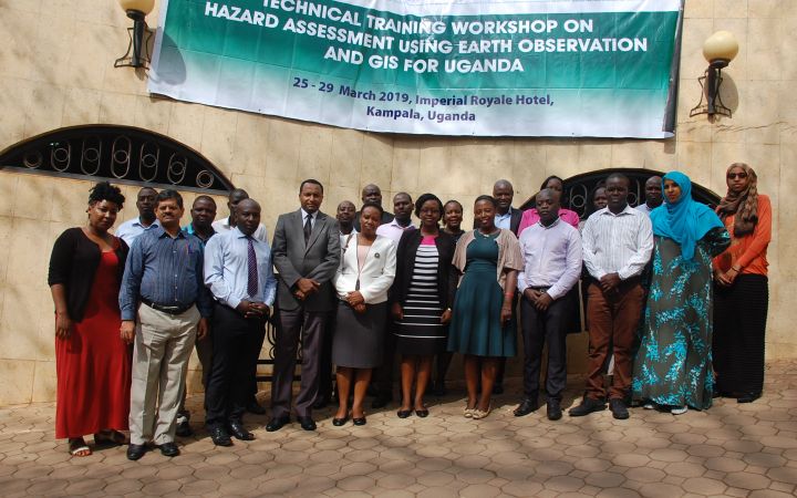
23 April 2019, Geneva, Switzerland – 24 technical experts from the government and academic institutions in Uganda successfully completed a one-week course in the use of Earth observations (EO) and geographic information system (GIS) for hazard assessment, delivered by UNOSAT from 25 to 29 March 2019 in Kampala, Uganda. When it comes to GIS technical training, the trend towards a more balanced gender ratio has been remarkably harder to achieve; however, this learning event had over 50 percentages of female participants.
The training was provided in collaboration with Inter-Governmental Authority on Development (IGAD)’s DRM programme and the Prime Minister’s DRM Office in Kampala, as part of the UNOSAT-IGAD project being implemented since 2013 with the support of Norwegian Agency for Development Cooperation (NORAD) and NORCAP.
The project aims at building capacities in the use of geospatial information technology (GIT) to address disaster risk reduction (DRR) in the East Africa region, where at high risk of multiple disasters including drought, floods and complex emergencies. Since the application of GIT have significant potential to reduce the effects of such disasters and increase community resilience, UNOSAT and IGAD teamed up to leverage the technology and strategic decision-making processes for improved DRR activities across the region through training programmes. The specialised agencies of IGAD and its Member States have been benefitted from the capacity building events that were successfully delivered over 5 years of project period, and it has proven to be efficient for implementing coherent DRR activities at regional, national and local levels.
Uganda, being part of the IGAD region, is prone to recurrent disasters mainly floods and landslides. The training thus aimed at strengthening the technical capacity of national staff on EO satellite products and the use of Remote Sensing and GIS tools for hazard assessment and monitoring for early warning. The hazard assessment methods were demonstrated using various practices on floods and landslides at regional and global levels, and this greatly helped participants’ understanding. Moreover, a platform was provided for those technical experts participated in the course, where they can discuss existing methods and tools of hazard assessment, as well as monitoring and early warning system beyond institutional boundaries. The course was highly rated with most participants remarked that the course was very useful to improve their knowledge about the use of GIS for decision making.
The training was intuitive and engaging!
The technical backstopping provided by UNOSAT will be continued to ensure the sustainable impact of the project.
For more information, please visit : Disaster Risk Reduction in the Horn of Africa.


