Displaying 51 - 60 of 132
7 June 2021, Geneva, Switzerland - Starting in February 2018, with an initial one-year scoping period, the project built off in-depth user-needs analyses to fully launch the implementation phase in February 2019. Now that the project has matured, this IPP Case Study seeks to assess early results and outcomes of the consortium’s activities and outputs.
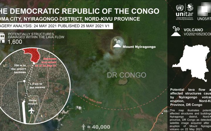
4 June 2021, Geneva, Switzerland - The Nyiragongo volcano, situated north east of the Democratic Republic of the Congo (DRC) started erupting on 22nd May at night. UNOSAT’s rapid mapping service was activated on 23 May 2021 morning by the United Nations Office for the Coordination of Humanitarian Affairs (UNOCHA) in Goma, DRC. The activation covered the area around Goma, DRC, and Gisenyi, Rwanda.
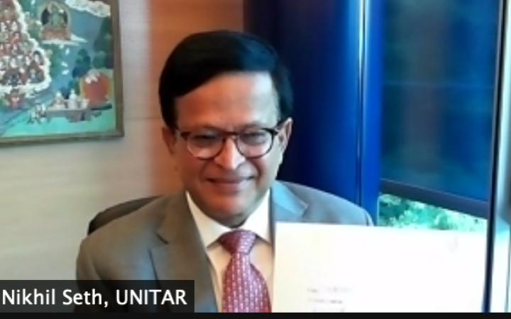
27 May 2021, Geneva, Switzerland and Beijing, China - The United Nations Institute for Training and Research (UNITAR), the Geneva School of Economics and Management of the University of Geneva and the School of Economics and Management of Tsinghua University have signed a Memorandum of Understanding (MoU) to set global standards for SDG Education and Open Innovation.
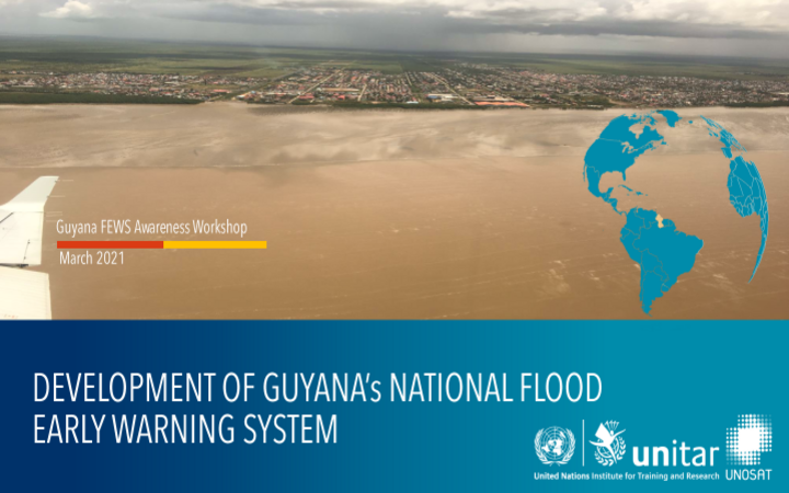
28 April 2021, Georgetown, Guyana - On 25 March 2021, UNITAR-UNOSAT hosted and co-facilitated together with UNDP Guyana and CIMA, an online Flood Early Warning System (FEWS) Awareness Raising Workshop with a focus on flood early warning communication.
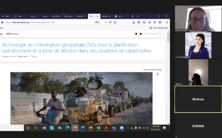
12 avril 2021, Brazzaville, République du Congo – Du 25 février au 31 mars 2021, UNITAR-UNOSAT a livré une formation en ligne au bénéfice de la République du Congo. Cette formation, animée par des facilitateurs, avait pour but de transmettre aux participants les concepts et la terminologie de la technologie de l'information géospatiale (TIG) ainsi que des méthodologies géospatiales pour soutenir les opérations de réponse d'urgence et le processus de décision lors de catastrophes humanitaires.
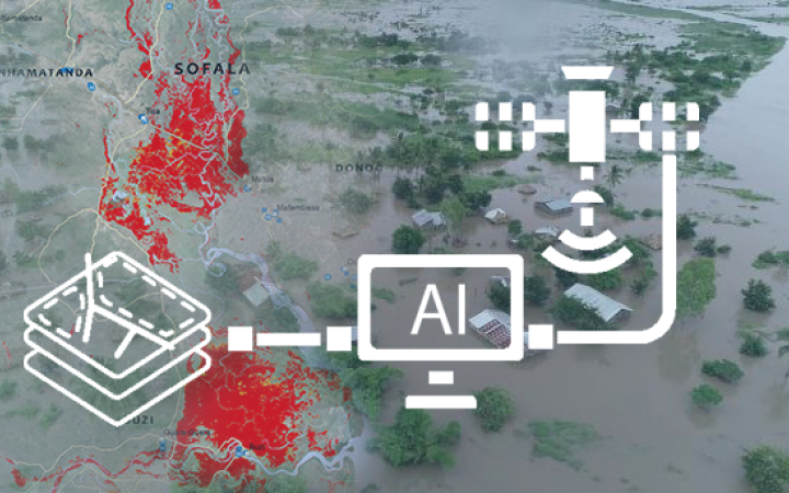
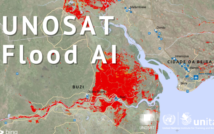
13 April 2021, Geneva, Switzerland - When a natural disaster hits, rapid responses are essential to assess the damage quickly and to direct humanitarian relief efforts where they are needed the most. Experts and data scientists from UNITAR-UNOSAT and UN Global Pulse applied Artificial Intelligence (AI) to satellite imagery to quickly map flooded areas and assess the damage that was caused in various operational settings. In this blog, we describe the approach and how we’re using it to inform decision-making on the ground.
8 April 2021, Georgetown, Guyana & Geneva, Switzerland – Between 18 January and 02 February 2021 UNOSAT and CIMA in partnership with UNDP, Guyana delivered a 12-day technical course entitled “Operational Flood Forecasting System”. The course focused on the operational use of the hydrologic/hydraulic models and flood forecasting chain implemented at Hydrometeorological Service, Ministry of Agriculture, Guyana. Due to travel restrictions resulting from the COVID-19 pandemic, the training was delivered remotely in a moderated e-learning format.
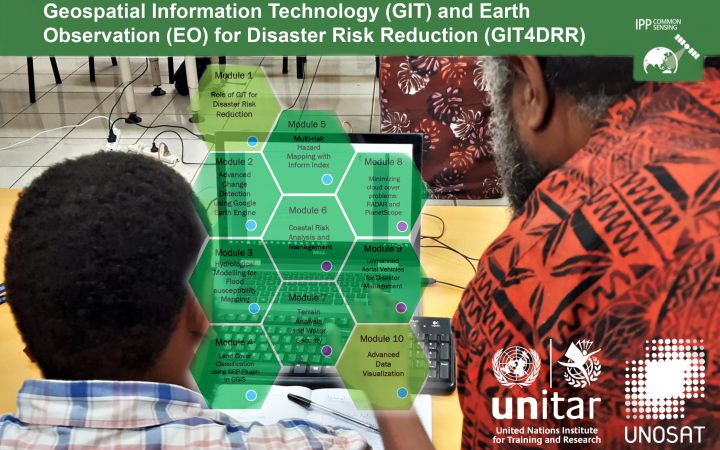
6 April 2021, Bangkok, Thailand - UNOSAT delivered an advanced training on the Operational Application of Geospatial Information Technology (GIT) for Disaster Risk Reduction (DRR) for Fiji, Vanuatu, and the Solomon Islands using blended learning formats to ensure maximum engagement of participants despite the challenges of the COVID-19 pandemic. This training was offered as part of the capacity development activities of the CommonSensing project that aims to improve climate resilience in the Pacific small island states.
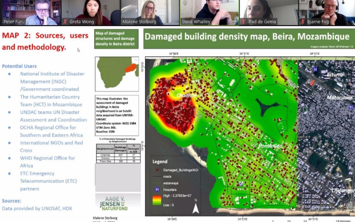
31 March 2021, Copenhagen, Denmark - UNITAR-UNOSAT and the University of Copenhagen co-organized and delivered a 3-week Masters level course entitled “Geo-information in disaster situations” from 8 to 26 March 2021. The beneficiaries were fourteen University of Copenhagen students registered in the Master of Disaster Management programme. Instruction during the first week focused on an introduction to remote sensing, data analysis, cartographic modelling and essential software applications and was delivered by the University of Copenhagen.
25 February, Geneva Switzerland - The Artificial Intelligence (AI) algorithm developed by UNOSAT with the support of UN Global Pulse, the UN Secretary-General's innovation initiative, was used in the recent rapid mapping activation for seasonal floods in Mozambique.


