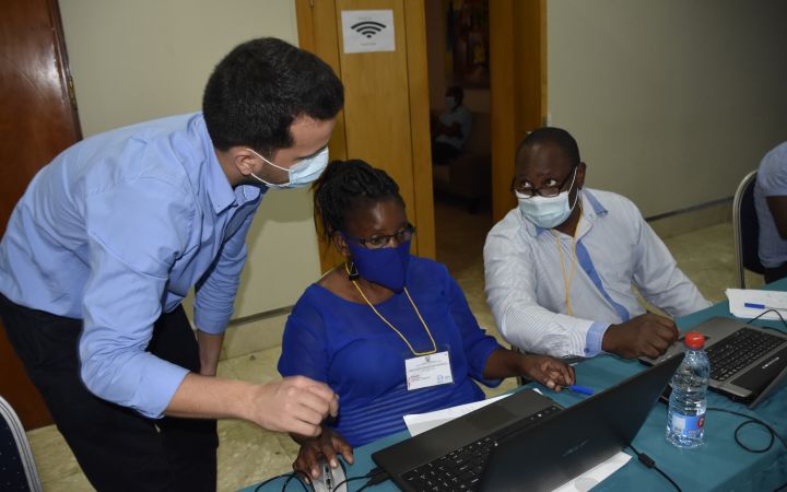
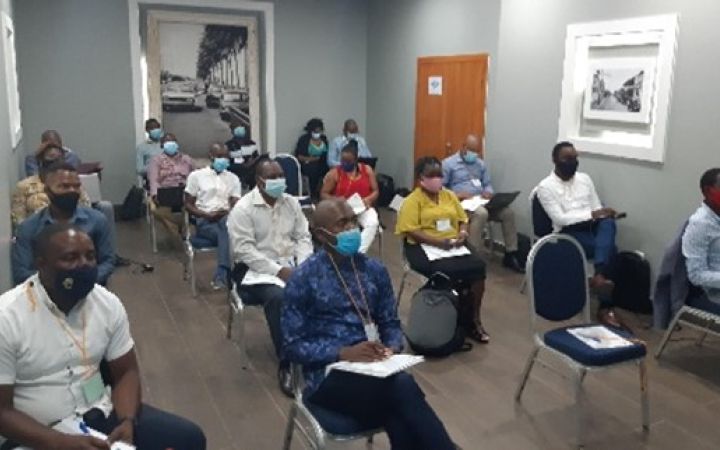
05 January 2021, Maputo, Mozambique – UNOSAT delivered a technical training on the Applications of Geospatial Information Technology (GIT) for Operational Planning and Decision Making in Disaster Situations. Participants were from different line ministries and national institutions, including the National Disasters Management Institute (INGC). This training was organized in collaboration with the United Nations Technology Bank for Least Developed Countries and the Ministry of Science, Technology & Higher Education (MCTES) of Mozambique.
Mozambique is a particularly disaster-prone country. Cyclones are the most significant and recurrent hazards for the country. Between January and March, an average of 2 million people is exposed to cyclones every year. In 2019, TC-IDAI made landfall in central Mozambique during the night of 14 to 15 March, leaving more than 600 people dead and an estimated 1.85 million people in need in Mozambique alone. Drought and floods also have devastating impacts: at least 600,000 people are affected by drought every year, while flooding poses a threat to lowland, highland, and urban areas.
GIT plays a key role in understanding the geographic extent and severity of such hazards. UNOSAT’s experts have been able for several years to support the National Government and Disaster Management Authorities through satellite imagery analysis and data visualization. For instance, satellite imagery analysis following major disaster events, including Tropical Cyclone IDAI and Kenneth, which caused severe damage and economic losses in large Mozambique areas in recent years.
However, the capacities of national and regional authorities and disaster management experts to seamlessly collect, integrate, and analyse geospatial information in a comprehensive and easy to use format remain limited. In this context, UNOSAT and the UN Technology Bank partnered to deliver an introductory technical training course in the use of GIT to support operational planning and decision-making for emergency response and post-disaster recovery.
This week-long technical training was hosted by MCTES and targeted officials from different departments of MCTES, as well as other national institutions working in various application domains such as disaster management, Information and Communication Technology (ICT), water, climate, and environmental resource management. The main objective of this training was to provide participants with GIT concepts and terminology, and to impart ad-hoc geospatial methodologies (based on specific case studies) to support emergency response and recovery planning operations.
The training was very important for me, I learned a lot from trainers and colleagues from the other institutions. The time was very short, given the relevance of the content - Participant
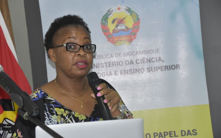
The training was followed by a one-day awareness-raising workshop, jointly organized by MCTES, the UN Technology Bank, and UNOSAT. This workshop aimed to enhance the capacity of experts and policymakers from different line ministries and national institutes to leverage geospatial information technologies for improved disaster risk reduction, climate change, and natural resources management. During the workshop UNOSAT presented a custom-tailored operational flood detection platform based on Artificial Intelligence (AI) recently developed by the UNOSAT team. This new tool supports INGC and other national stakeholders monitoring the situation with near real time satellite-derived analysis and statistics during the coming rainy season (from October 2020 to April 2021).
After Uganda and The Gambia , this event closed the programme organized this year by UNITAR and the UN Technology Bank for the LDCs to enhance the capacity of experts in LDCs to access and use geospatial data and information technologies in support of decision making for climate change adaptation, disaster risk management and natural resources management.
For more information, contact us at unosat@unitar.org.


