Displaying 1221 - 1230 of 1654
15 June 2020, Geneva, Switzerland – UNITAR’s Division for Prosperity successfully completed a SIDA-funded pilot programme on “Frontier Technologies for Sustainable Development: Unlocking Women’s Entrepreneurship through Artificial Intelligence (AI) in Afghanistan and Iraq” which benefitted 32 women entrepreneurs from various sectors in the 2 countries.
10 June 2020, Geneva, Switzerland - The renewed and expanded partnership between UNITAR Division for Peace and the World Humanitarian Forum (WHF) aims to address the limitations imposed by the pandemic to ensure training and development can be delivered uninterrupted and more importantly, to ensure that no one is left behind. In May, the two partners launched WHF Learning – an online platform that intends to increase the awareness of available free distance learning opportunities for professionals in the international community and beyond. WHF Learning is a part of the broader WHF Digital Series that includes open interactive webinars, online courses and podcasts.
10 June 2020, Geneva, Switzerland - This March, UNITAR Division for Peace and the Justice and Corrections Service (JCS) of the Office of Rule of Law and Security Institutions (OROLSI), United Nations Department of Peace Operations (UN DPO), partnered to developed two new operational documents designed to support collective COVID-19 response within the justice, security and corrections sector.
29 May 2020, Geneva, Switzerland - Held on the occasion of the International Day of UN Peacekeepers 2020, this online expert briefing focused on the future of peacekeeping:
- How will peacekeeping respond to likely funding shortages, and to working in environments weakened by the three “I”-s: instability, inequality, and infectious disease?
- How should capacity building initiatives change in order to mitigate some of the challenges identified above, allowing peacekeepers to implement the mandate more safely and efficiently, in line with the A4P framework?
- What is the short, medium, and long-term gendered impact of this crisis on individual peacekeepers’ well-being? What approaches can be used to help them help others?
Organised in the format of an interactive and open-to-all discussion, the briefing features not only the informed insights of the panelists, but also a virtual Q&A session.
9 June 2020, Geneva, Switzerland - In response to the persistent and unprecedented COVID-19 challenge and committed to the promotion of inclusive sustainable development, UNITAR and Solarkiosk have launched a multi-sectoral, multi-partner collaboration to support preparedness and response on the African continent, at the national level. This integrated multi-level public-private partnership aims to provide solar-powered equipment and infrastructure for screening, testing and treatment of the general population with the help of mobile, solar-powered laboratories. The project constitutes a real, practical and feasible solution that will help to tackle the growing COVID-19 risks in Africa, thereby saving thousands of lives.
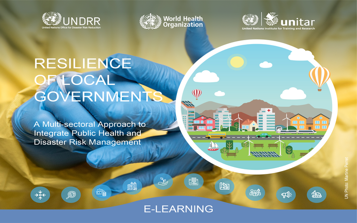
June 2020, Geneva, Switzerland - All communities are at risk of emergencies and disasters, including those associated with natural hazards, infectious disease outbreaks, conflicts, technological and other hazards. Particularly in the context of increased urbanization and climate change, frequency, severity and impact of those events are crucial. The health, economic, political and societal consequences of these hazards can be devastating for developed and developing countries.
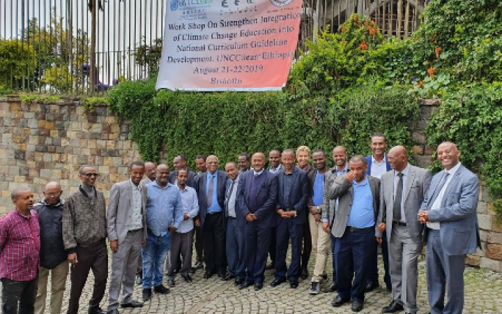
Ethiopia and UN CC:Learn have developed the guideline 'Integrating Climate Change into the Ethiopian Curriculum - An Annotated Guideline for Curriculum Developers' which was accepted into the current curriculum reform process. As next steps, the partnership will look at training of textbook authors on developing climate change content for climate change carrier subjects and climate change teaching in early 2020.
Partnership for Action on Green Economy (PAGE) has launched a new summer course on Green Industry starting in July. Check out how to register!
Launched on 20 May 2020, a new consortium project Crowd4SDG will aim to examine opportunities for leveraging citizen science for monitoring climate impacts and achieving climate resilience. It is Horizon 2020 Research and Innovation Action supported by the European Commission's Science with and for Society (SwafS) programme. In addition to UNITAR, the consortium coordinated by the University of Geneva (UNIGE) includes a number of other leading European research centers and University: Spanish National Research Council (CSIC), Polytechnic University of Milan (POLIMI), Center for Research and Interdisciplinarity of University of Paris (UPD) and CERN.
18 May 2020, New York, USA, Zoom Workshop - The United Nations Institute for Training and Research (UNITAR), in collaboration with Emerging Ag, hosted a workshop entitled Defining Transformation: A Global Food System. This is the first event of six in the Food Systems Series leading up to the 2021 UN Food Systems Summit. This activity is supported with funding allocated from the Swedish International Development Agency’s (SIDA) contribution to the UNITAR Strategic Framework Fund, under the programme Leveling The Playing Field which focuses on the development of skills and knowledge of Least Developing Countries. The course was attended by 115 participants from around the world that joined remotely through Zoom. The course is aligned and in preparation for the UN Secretary-General Food Systems Summit which will aim of maximizing the co-benefits of a food systems approach across the entire 2030 Agenda and meet the challenges of climate change. The Summit will seek to inspire global public mobilization and actionable commitments to invest in diverse ways to make food systems inclusive, climate adapted and resilient, and supportive of sustainable peace.


