Displaying 1401 - 1410 of 1735
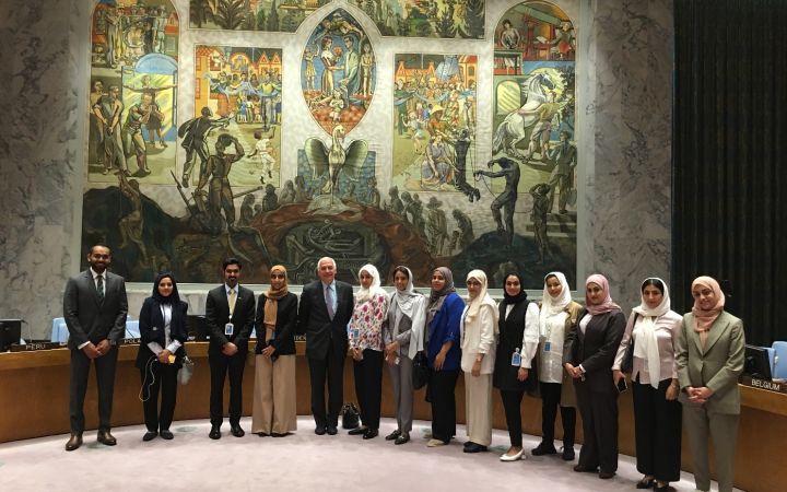
17 September 2019, New York, USA- United Nations Institute for Training and Research (UNITAR) New York Office wrapped up a series of core diplomatic trainings for the United Arab Emirates Diplomatic Corps in preparation for the upcoming 74th General Assembly. The training took place at the Permanent Mission of the United Arab Emirates to the UN, and lasted from 3-12 September, 2019.
17th of September 2019, Geneva, Switzerland – The United Nations Institute for Training and Research (UNITAR), the World Health Organization (WHO), the United Nations International Computing Center (UNICC) and the Harvard Medical School Program in Global Surgery and Social Change (PGSSC) are partnering to promote a new mobile application for the WHO’s Surgical Safety Checklist, which is destined to facilitate its use among healthcare professionals. The dissemination of the mobile feature is enhanced through a video that aims of raising awareness of the Checklist’s importance and added value.
16 September 2019, Geneva, Switzerland - UNITAR is pleased to launch the first edition of the Master’s in Human Rights and Diplomacy in partnership with the University of Stirling.
The University of Stirling is a highly prestigious university that is recognized globally for its excellence in teaching, research and offering a world-class student experience. The University also enjoys a vibrant and friendly atmosphere and is ranked 1st in the UK and 5th in the World for campus environment (UK International Student Barometer (ISB) Benchmark and Global ISB Benchmark 2018).
The University of Stirling is a highly prestigious university that is recognized globally for its excellence in teaching, research and offering a world-class student experience. The University also enjoys a vibrant and friendly atmosphere and is ranked 1st in the UK and 5th in the World for campus environment (UK International Student Barometer (ISB) Benchmark and Global ISB Benchmark 2018).
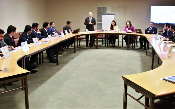
9 September 2019, New York, USA – The United Nations Institute for Training and Research’s (UNITAR) New York Office kicked off the first session of the induction course for Qatari Diplomats in Conference Room D of the United Nations Headquarters. The program for the new diplomats includes courses on negotiation, the General Assembly, the Responsibility to Protect and Rules and Procedures of the UN.
13 September 2019, Curitiba, Brazil – The International Training Centre for Authorities and Leaders in Curitiba (CIFAL Curitiba) and the Federation of Industries of the State of Paraná (FIEP), represented by Mr. Jose Antonio Fares, and Rafael Greca, Mayor of Curitiba, signed a protocol that formalizes a collaborative intervention to promote and implement sustainable development initiatives in the city of Curitiba, Brazil.
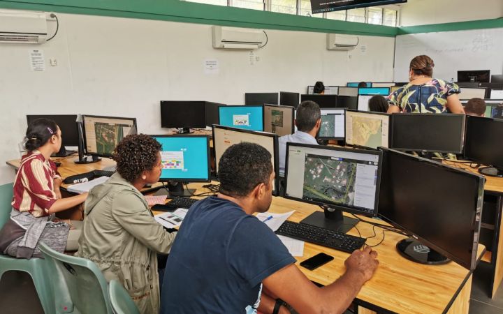
13 September 2019, Suva, Fiji – Disasters caused by natural hazards and climate change affect about 350 million people on average each year, according to the Global Humanitarian Overview 2019 (UN-OCHA, 2019). The human cost tends to be higher in vulnerable areas of the Pacific SIDS, often due to the limited data available for preparedness and early response actions.
10 -13 September 2019, New York, USA – The United Nations Institute for Training and Research (UNITAR) New York Office, concluded their training of Qatari diplomats for the 74th Session of the United Nations (UN) General Assembly (GA) at the UN Secretariat Headquarters. On the second and third days of training the Qatar diplomats attended briefings for new delegates of the 74th session of the United Nations (UN) General Assembly (GA) at conference Room 12, while the last two days included presentations by Ms. Jelena Pia-Comello, Ambassador Ion Botnaru, Dr. Guido Bertucci and Dr. Aldo Civico in Conference Room D.
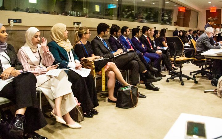
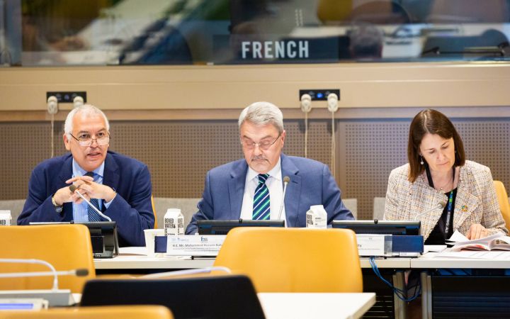
11 September 2019, New York – The United Nations Institute for Training and Research (UNITAR), New York Office, in partnership with the Permanent Mission of Singapore to the United Nations, concluded the briefing for the delegates of the UN General Assembly in Conference Room 12 of the UN Headquarters building.
10 September 2019, New York, USA – The United Nations Institute for Teaching and Research, in partnership with the Permanent Mission to Singapore to the United Nations, began the Briefing for Delegates on the 74th Session of the United Nations General Assembly in Conference Room 12 of the UN Headquarters Secretariat.
09 September 2019, Bangkok, Thailand – UNOSAT delivered a training on geospatial big data applications for sustainable development to enhance the capacity of the Member States of Association of Southeast Asian Nations (ASEAN) together with regional partners, from 5 to 9 August 2019, at the Space Krenovation Park (SKP) in Chonburi province of Thailand.


