Project
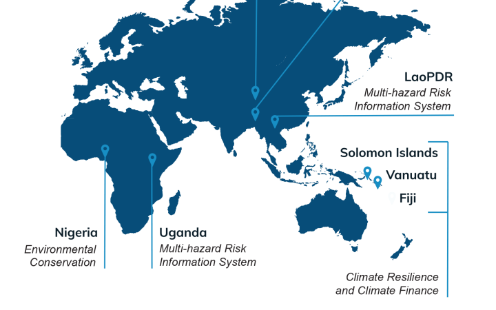
Through the support of the Norwegian Agency for Development Cooperation (NORAD) and other funding, UNOSAT had been implementing capacity development activities from its regional liaison offices in Asia and East Africa. Thanks to this renewed support, UNOSAT is able to expand its activities and the countries of implementation in order to strengthen capacities in the use of geospatial information technologies for improved resilience in the Asia-Pacific and Africa.
The project is designed for 3 years, and, based on previous experiences, intends to further enhance capacities, introduce technological advancement (including artificial intelligence-based methods), and provide integrated solutions for decision-making related to Disaster Risk Reduction (DRR), Climate Resilience, environmental preservation & Food Security.
Strengthened knowledge, skills and awareness.
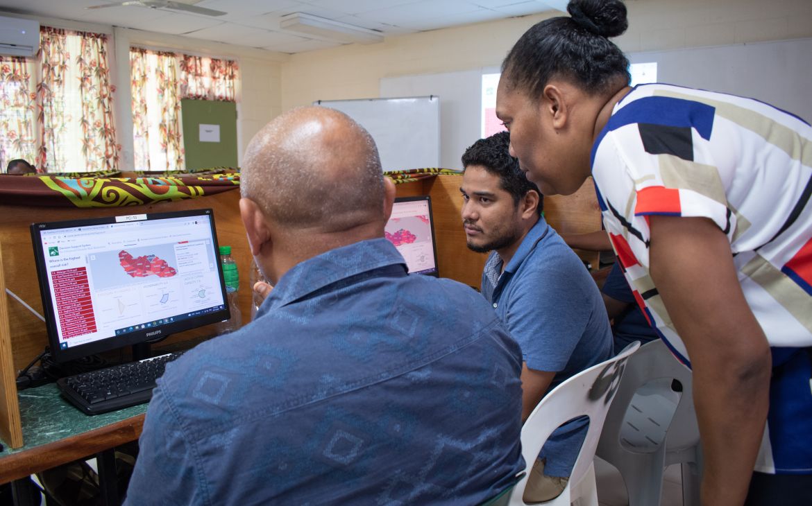
Based on comprehensive capacity needs assessments in close consultation with stakeholders, capacity development activities include national technical training, and technical backstopping activities, as well as regional awareness-raising events.
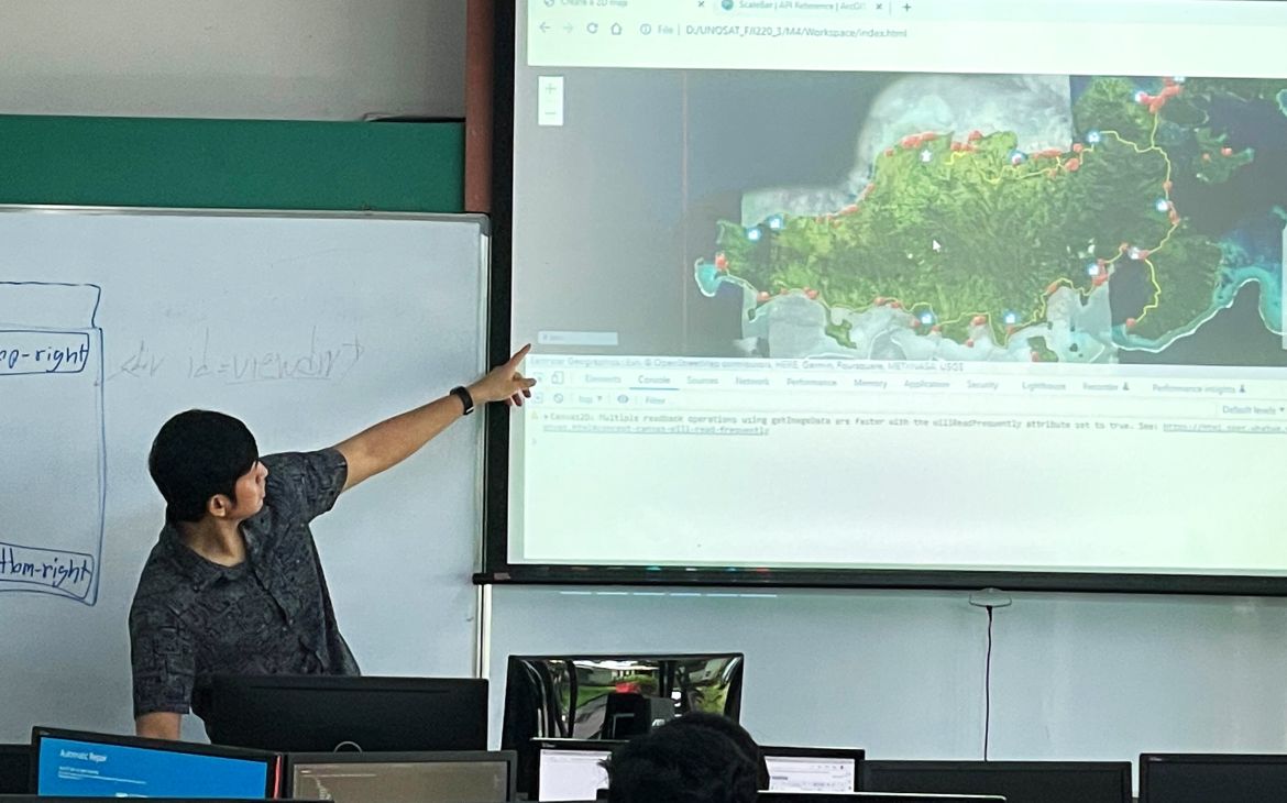
Training activities are designed to provide participants with concepts and terminology of Geographic Information Technologies (GIT) as well as skills to undertake spatial analysis. The courses also cover country-specific applications domains including field data collection. Every learning experience is designed based on the training needs assessment and tailored to beneficiaries, including using blended learning methods and formats. To ensure sustainable knowledge transfer, all distance-learning solutions provided will be hosted on a dedicated Knowledge platform and integrate a community of practice.
Along with the training activities, several awareness-raising events will take place both at the regional and national levels.
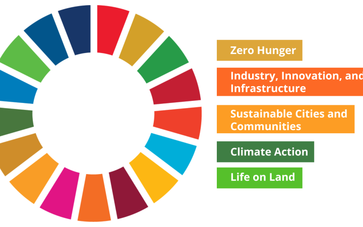
Sustainable Development Goals
While geographic information is crosscutting by nature, thus contributing to work towards most of the SDGs, the project will focus on applications that are related to the following goals:
- SDG2 End hunger, achieve food security and improved nutrition and promote sustainable agriculture
- SDG9 Build resilient infrastructure, promote inclusive and sustainable industrialization and foster innovation
- SDG11 Make cities and human settlements inclusive, safe, resilient and sustainable
- SDG13 Strengthening resilience to climate-related hazards and natural disasters by promoting adequate siting, land-use policies and emergency plans.
- SDG 15 Protect, restore and promote sustainable use of terrestrial ecosystems, sustainably manage forests, combat desertification, and halt and reverse land degradation and halt biodiversity loss
Women in Geospatial: A development perspective in Oceania


