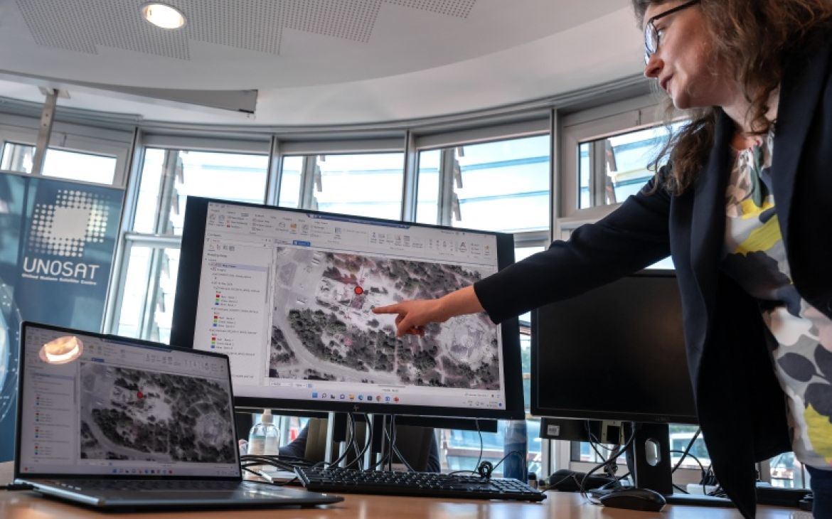
Images acquired by satellites have become key sources of information and evidence within the international criminal justice system. Yet, their use remains hampered by the lack of technical proficiency among legal professionals on one hand and by the unfamiliarity with the legal field among satellite imagery experts on the other.
The project addresses this knowledge gap by developing a focused training programme for staff and legal professionals involved in proceedings of the International Criminal Court (ICC). The training will provide expertise in the field of international criminal justice and evidentiary processes, as well as guidance on necessities for content preparation and assistance with delivery from satellite imagery experts, namely from the United Nations Satellite Centre (UNOSAT).
Background
Images acquired by satellites are oftentimes the only externally-collected data verifying that human rights violations and atrocities have taken place, especially in remote and inaccessible parts of the world. Such images are valuable to the international criminal justice system in that they can assist investigations and serve as evidence during courtroom proceedings. The potential benefits of satellite imagery are real but risks include misinformation and human-rights-related concerns.
Satellite imagery is still relatively new as a source of information and evidence within the legal field. Many legal professionals involved in the international criminal justice system (the judges, trial attorneys, defence and victims’ counsels) have no experience with satellite imagery, while many analysts of satellite imagery have no experience with the criminal justice system. The science-policy challenge in this field lies in closing the knowledge gap between legal professionals and satellite imagery experts to maximise the positive impact of using such testimony in court in the pursuit of justice.
Aim
The project aims to develop a focused training programme to close the knowledge gap between legal professionals and satellite imagery experts.
Impact
- Agents in the international justice system are better equipped to interact with and use satellite imagery analysis as a professional sector. They are empowered to carry out further training in advanced technologies, satellite imagery and otherwise.
- Satellite imagery becomes an easy-to-use and often a relied-on resource for the international criminal justice system.
Key activities
- Consultations with key actors to assess specific needs and generate buy-in.
- Developing and delivering tailored training content.
- Training assessment and moderated discussions to discuss ideas for future training.
- Disseminating the learning collected throughout the project on how to improve the use of satellite imagery analysis in the criminal justice system (policy brief on the use of satellite imagery in the criminal justice system).
Support
This project has received support from the Geneva Science-Policy Interface through the 2022 edition of the Impact Collaboration Programme.


