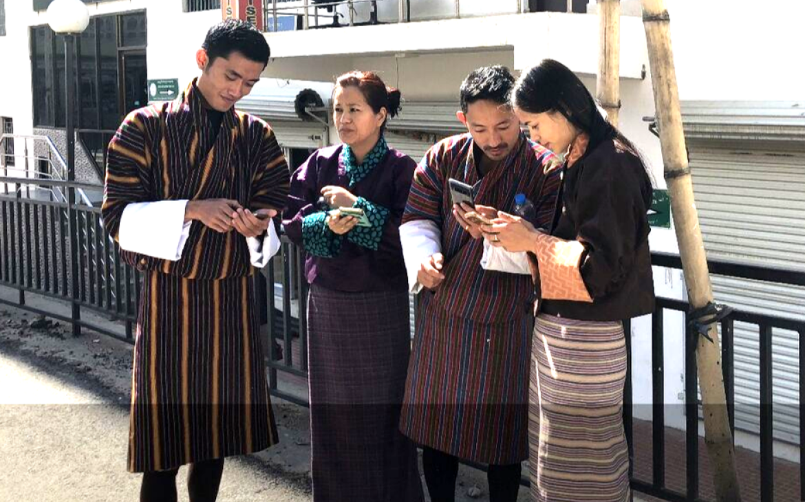
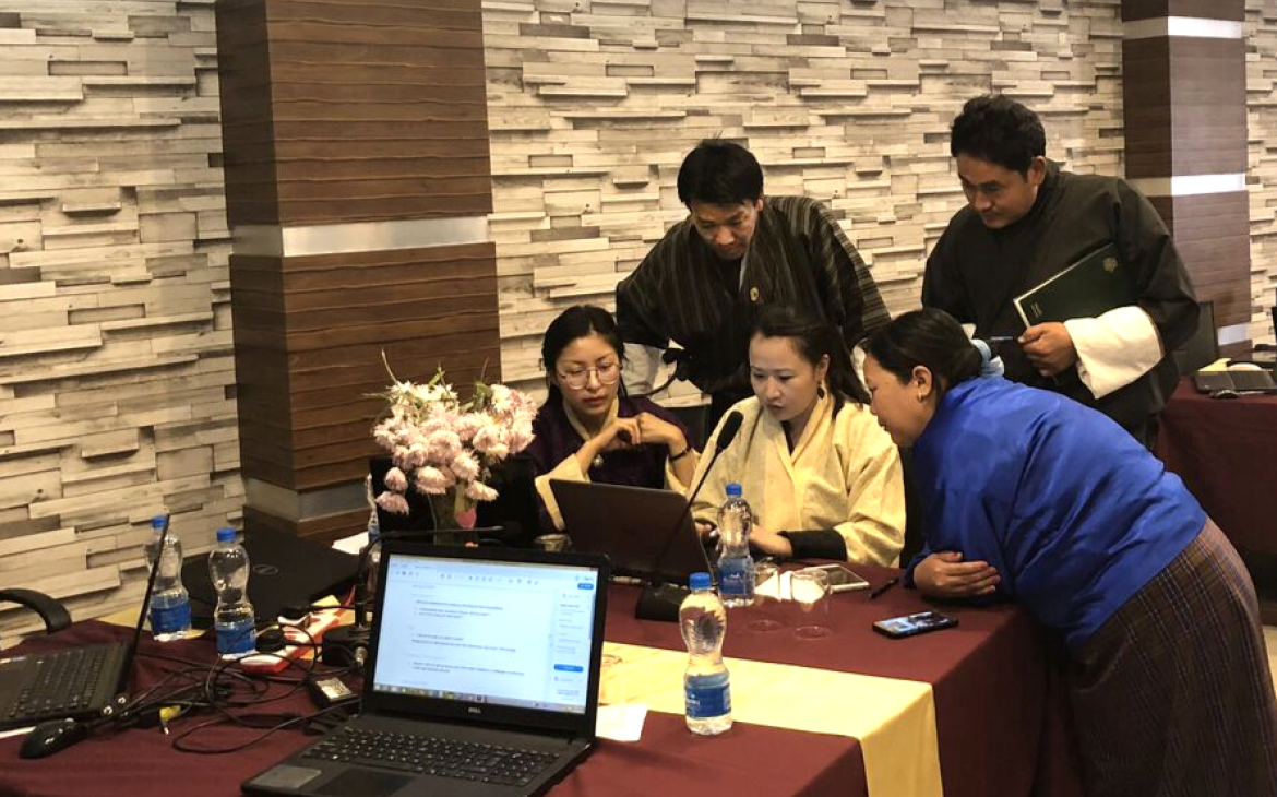
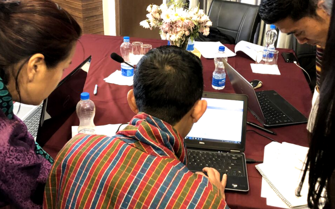
22 October - 2 November 2018, Thimphu, Bhutan – UNITAR-UNOSAT has delivered a two-week training programme, with support from the State of Qatar, to enhance the use of geospatial technologies for evidence-based decision making in Bhutan. The in-country training was organised in cooperation with the National Land Commission Secretariat of the Royal Government Bhutan, and it also brought together government officials from the selected line ministries, such as Ministry of Information and Communications, Ministry of Agriculture and Forests and Ministry of Economic Affairs.
The main objective of the training was to share knowledge on applications of Geospatial Information Technology (GIT) and its operational use in various domains: land-use, urban planning, forestry, environmental monitoring, hazard mapping and disaster risk reduction. To meet the needs of participants, the Earth Observation analysis for land-cover monitoring and land-use zonation was highlighted as well during the training sessions.
This face-to-face training was comprised of 10 modules, featuring theoretical lectures, group discussions and GIS lab exercises using datasets and real case scenarios (e.g. finding optimal location for a new hospital in Thimphu using multi-criteria evaluation). A community of practice platform, set up by UNITAR-UNOSAT, helps maximise the learning experience of participants by providing all required technical support during and after the training event. Moreover, ad-hoc live web map platforms will be established to assist projects and activities undertaken by technical staff from line ministries who have attended the UNITAR-UNOSAT training.
Participants found that the training was highly relevant to the essential skills required for their daily job.
“This training was indeed a very insightful, informative and interactive session that I have attended so far. We were not only taught the tools and its proceedings but also made to analyze and question the logic behind every concept. I am very much confident and well aware of concepts that I have acquired in the field of geospatial information technology.”
“As I have learnt many new idea and techniques in Arcgis, I will be in better position to do Land cover and land use zoning of country which is the project our agency is going to carry out soon. Moreover, I am in better position to analyses satellite imagery to assess hazard risk, disaster and for Multi-criteria Decision Making.”
Dasho Pema Chewang, Secretary, National Land Commission Secretariat (NLCS) of Bhutan expressed great expectations for a continued successful partnership with UNITAR-UNOSAT during his speech.
“I would like to extend our gratitude to UNITAR-UNOSAT for arranging this training, we hope this is just the beginning of a very fruitful relationship between UNITAR and NLCS”.


