Geneva, Switzerland, 20 September 2022 - The use of Earth Observation technologies, in particular the analysis and interpretation of satellite imagery, has expanded considerably in recent years. Geospatial analysis is now a highly in-demand tool for collecting evidence on specific situations. As in any other specialized field, making the technical results of analysis accessible to key decision-makers is crucial for their effective application.
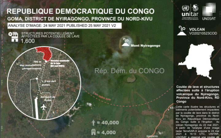
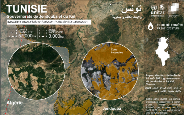
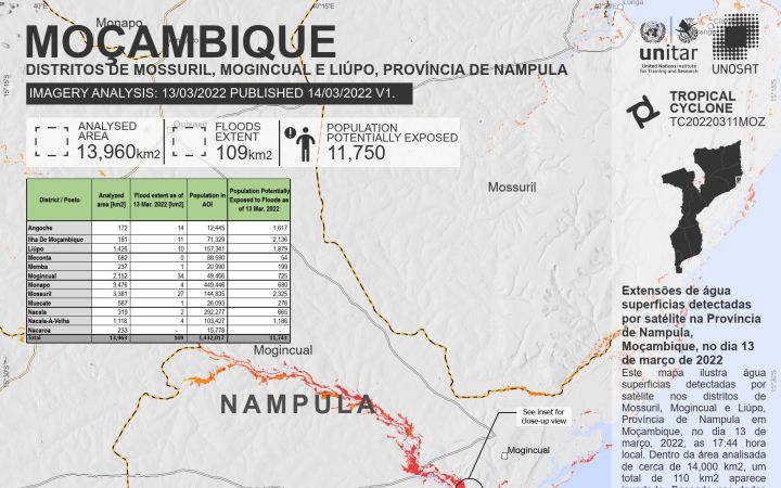
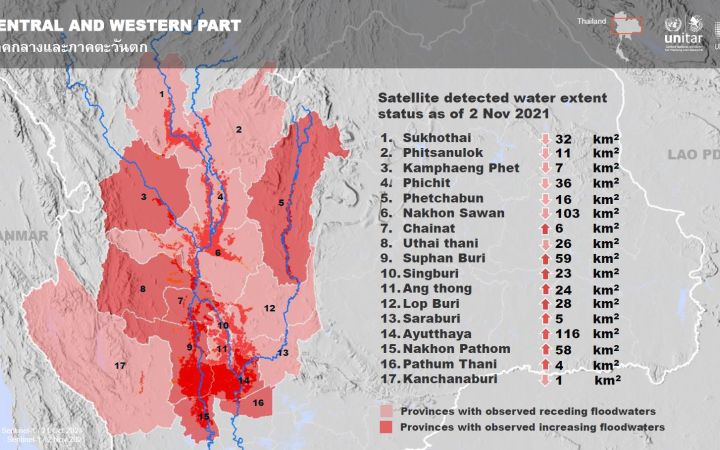
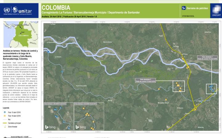
A method used by the United Nations Satellite Centre (UNOSAT)’s Emergency Mapping service is to produce maps and other products in local languages when capacity allows. Here below are some examples of maps that have been produced in different languages by UNOSAT over its 20 years of operation:


