How Geographic Information Systems (GIS) Can Help Tackle Global Challenges
11 May, 2016 Geneva, Switzerland – UNITAR’s Operational Satellite Applications Programme (UNOSAT) in collaboration with Esri and the Group on Earth Observations (GEO), successfully hosted the GIS for a Sustainable World Conference which explored ways in which GIS can tackle global challenges outlined in the 2030 Agenda for Sustainable Development. The conference, which took place in Geneva at Campus Biotech from 2 to 4 May 2016, was attended by over 100 GIS professionals from the global community.
Keynote by UNITAR Executive Director
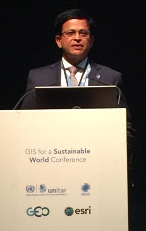
 Mr. Nikhil Seth, UN Assistant Secretary-General, Executive Director of UNITAR delivered the opening keynote speech on May 2. The conference heard from Mr. Seth’s extensive involvement in the development of the Sustainable Development Goals (SDGs). He especially emphasized on the contribution of GIS for implementing the SDG’s as being fundamental for the needed transformation.
According to Mr. Seth, technology is an enabling tool for creating partnerships and reaching the SDGs.
The event also demonstrated the variety and innovative nature of the international community to make the world a better place through inclusive, efficient and climate-smart development. "Access to big data must result in big impact," said Einar Bjorgo, UNOSAT Manager, highlighting the need for practical use and results from the large activities of earth observation image.
Lightning Talks and Open Discussions
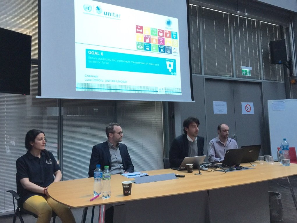
The conference speakers placed much emphasis on GIS applications in driving implementation of the new Sustainable Development Agenda. More specifically the lightning talks speakers were precise in h ighlighting initiatives undertaken from various institutions in contributing towards achieving the SDGs including food security, education, gender inequalities and partnerships. In one of the lightning talks, UNOSAT’s Rohini Swaminathan highlighted that “GIS can not only be used to represent gender equality but can play a role in achieving it”. In a break-out session dedicated to SDG number 6 (Clean water and Sanitation), UNOSAT colleagues Luca Dell’Oro and Tiffany Tchang demonstrated how better water management is a resource for sustainable development. More so, Ms. Tchang shared UNOSAT experience from Project ResEau, a capacity development project in Chad which aims at mapping water resources and training of local officials with GIS tools. She stressed that improved national and local knowledge of water resources was critical in strengthening development initiatives.
A Call to Action
The conference ended with a call to the international community and governments to take ownership and establish national frameworks for the achievement of the 17 global goals with emphasis on reaching the furthest first and leave no one behind. At UNITAR-UNOSAT we commit to continue making satellite solutions and geographic information easily accessible to member states, relief agencies and development organisations within and outside the UN system to help make a difference in the efforts towards sustainable development.
Photo 1: Mr. Nikhil Seth, deliverying a keynote speech
Photo 2: (left to right) Ms. Tiffany Tchang - UNOSAT, Frederik Pischke – WMO/Global Water Partnership, Luca Dell’Oro - UNOSAT, Frederic Moine - Independent consultant

