9 March 2020, Kampala - UNITAR-UNOSAT and the UN Technology Bank, in partnership with the Ugandan Ministry of Science, Technology and Innovation (MOSTI) have conducted a one-week training course from 2 to 6 March 2020 in Kampala on the use of Geospatial Information Technologies (GIT) to reduce the impact of disaster situations. Indeed, the increasing number and intensity of disasters in the past few years in Uganda have had severe consequences in terms of human lives, structural damage and economic losses. Uganda is regularly affected by multiple natural hazards, including droughts, earthquakes, floods, landslides, and volcanoes.
Climate change is likely to increase the average temperature in Uganda by up to 1.5 degrees Celsius by 2030. Rising temperatures and rainfall variability are expected to lead to higher incidences of extreme weather events, which will in turn increase the population’s exposure to hydro-meteorological disasters. (GFDRR 2017).To prepare for these challenges, GIT, including satellite imagery analysis and remote sensing, plays an essential role in understanding the geographic extent and severity of challenges at stake, thereby improving operational decision-making processes for emergency response and recovery. Equally important is the fact that these technologies empower actors to better prepare for disaster situations and develop fit for purpose emergency response plans.
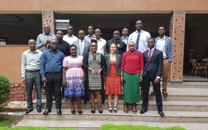
Ms. Agiri Komugabe, a training participant pictured here, had this to say: “The tools that we learned how to use are useful to analyze data. I would highly recommend the training to government ministries and universities to help them address disaster risk reduction issues in Uganda.”
A total of twenty beneficiaries completed the training, ranging from government officials and disaster management experts to university lecturers. A special workshop welcoming policy-makers was also held in Kampala on 09 March to raise awareness regarding the important role that these new technologies could play to support development efforts in Uganda.
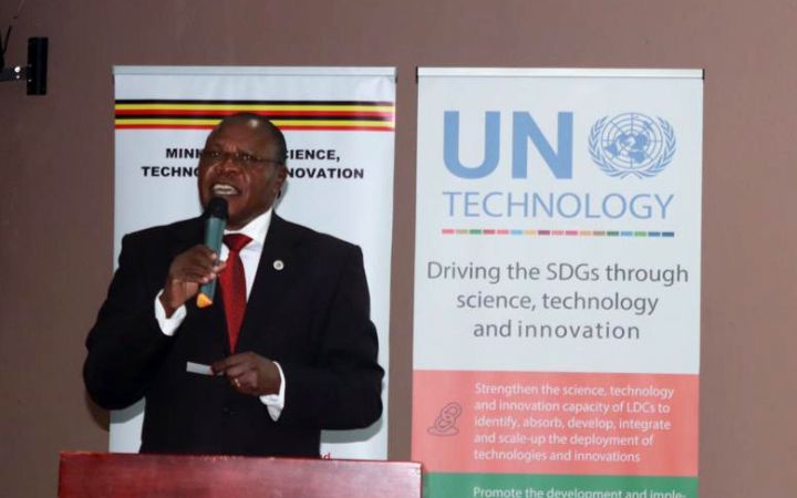
“This workshop provided a timely platform to demystify geospatial technologies and raise awareness of the important role that they can play to support Uganda’s development efforts.” – Dr. Maxwel Otim Onapa, Director of Science, Research and Innovation at the Ministry of Science, Technology and Innovation, Uganda.
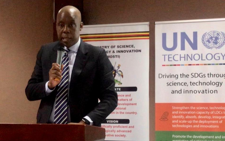
"The United Nations Technology Bank is excited to be part of this workshop and training, something we plan to replicate in Mozambique and The Gambia this year,” said Joshua Setipa, Managing Director for the United Nations Technology Bank. “Least developed countries face barriers to adopt and stay up to date with changing technology. We hope that this series of workshops in Africa will help to build awareness and boost support for these important technological tools.”


