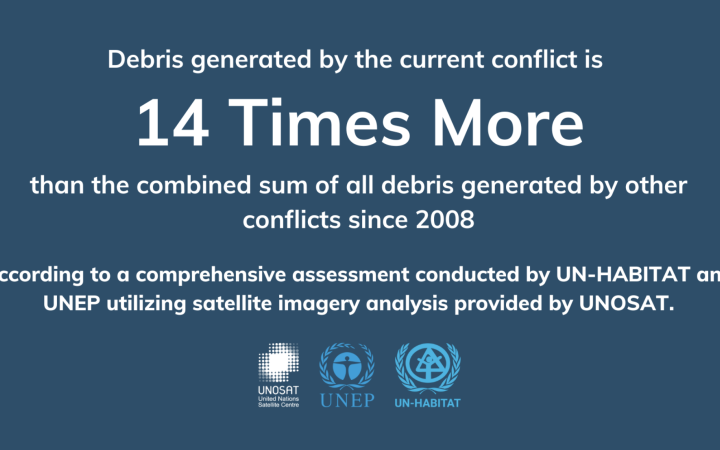
1 August 2024 , Geneva, Switzerland,– The recent conflict in the Gaza Strip has produced a volume of debris that is 14 times greater than the combined total from all conflicts over the past 16 years. This finding comes from a comprehensive assessment conducted by UN-HABITAT and UNEP. The analysis, using satellite imagery analysis provided by UNOSAT, offers a detailed view of the extensive destruction and its implications for debris management.
63% of the structures in the Gaza Strip are damaged
UNOSAT’s latest damage building assessment, based on satellite imagery from 6 July 2024 and updated building footprints from May 2023, reveals that 151,265 structures have been affected in the Gaza Strip. Of these, 30% were destroyed, 12% severely damaged, 36% moderately damaged, and 20% possibly damaged, representing approximately 63% of the total structures in the region.
The total debris generated by the conflict amounts to approximately 41,946,018 metric tonnes. This marks an increase from 22,930,000 tonnes on 7 January 2024 to 41,946,018 tonnes by 6 July 2024, an 83% rise. Rafah experienced an 1149% increase, while Khan Younis and Deir Al-Balah saw increases of 163% and 95%, respectively. Gaza Governorate recorded the highest total amount of debris, with a 63% increase during the same period.
For each square meter in the Gaza Strip, this recent analysis estimates that 114 kilograms of debris were generated.
The impact on civilian infrastructure is evident, with thousands of homes and essential facilities being damaged.
UNOSAT remains committed to providing accurate and timely information to support humanitarian efforts in conflict-affected areas. Our satellite imagery-based analysis serves as a crucial tool for assessing the extent of damage and guiding emergency relief efforts.
For More Information
Please contact:
Olivier Van Damme - olivier.vandamme@unitar.org
Anne-Sophie Faivre Le Cadre - annesophie.faivrelecadre@unitar.org
ABOUT UNOSAT
The United Nations Satellite Centre (UNOSAT) is part of the United Nations Institute for Training and Research (UNITAR), with a mandate to provide United Nations funds, programmes and specialized agencies with satellite analysis, training and capacity development, at their request, as well as to support Member States with satellite imagery analysis over their respective territories and to provide training and capacity development in the use of geospatial information technologies, on the basis of voluntary contributions. By leveraging advanced technology, UNOSAT contributes to informed decision-making and facilitates the delivery of aid in crisis situations.


