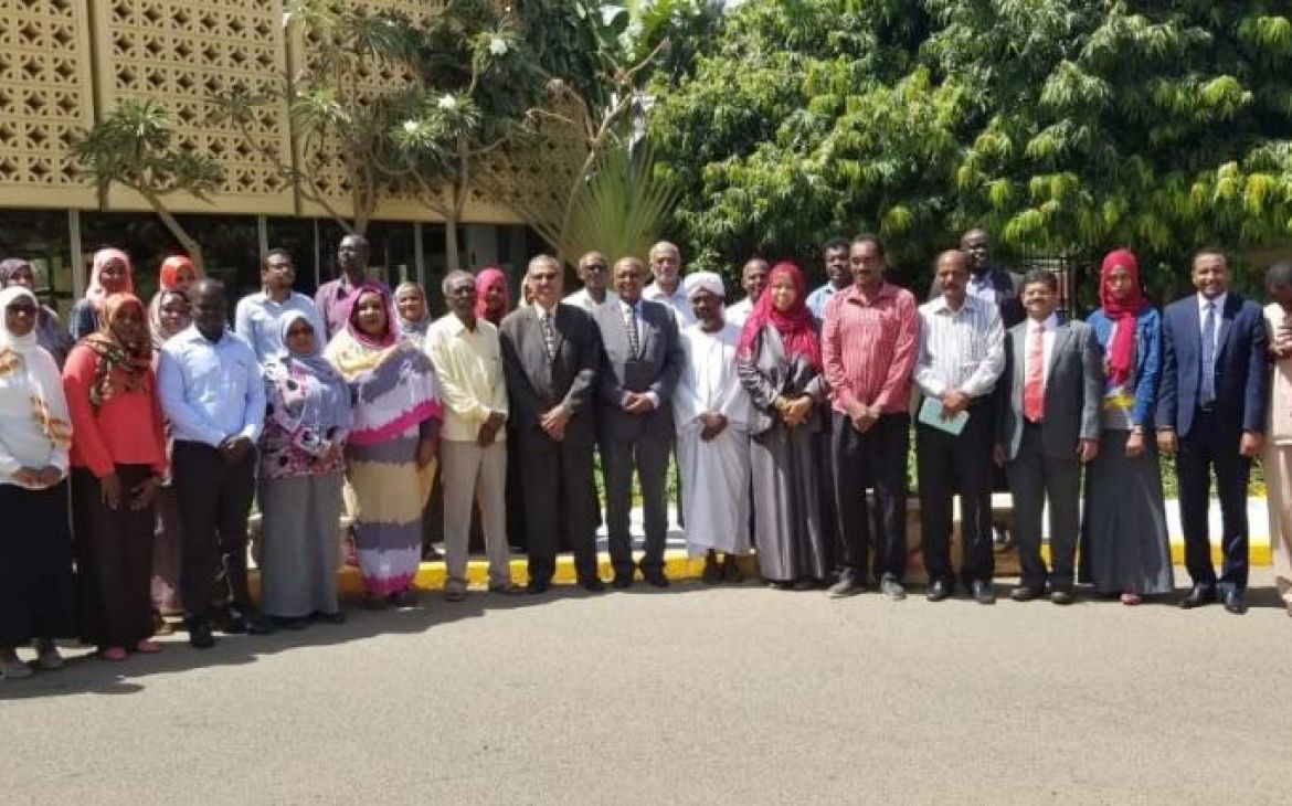
21 - 25 October 2018, Khartoum, Sudan – In partnership with the Climate Prediction and Applications Centre (ICPAC) of the Intergovernmental Authority on Development (IGAD), UNITAR-UNOSAT delivered a 5-day workshop, with support from the Government of Norway, to enhance the technical capacity of officials to conduct hazard assessments using earth observation data and geographic information systems (GIS). The workshop brought together actors from the public sector, private sector and academia in Sudan, including the Federal Ministry of Health, Ministry of Justice, Sudanese Remote Sensing Authority, University of Khartoum, and the Forests National Corporation to name a few.
The goal of the workshop was to build the skills of participants to assess Sudan’s exposure to the two main hazards affecting the Horn of Africa: droughts and floods. This was achieved through a two-pronged approach: lectures as well as a focus on hands-on exercises, including mapping exposed areas and identifying risk factors. The final exercise of this 3-module event involved designing and presenting a flood/drought risk assessment plan for Sudan using earth observation data, keeping in mind the country’s vulnerabilities.
Several partners and donors made this workshop possible, including the Humanitarian Aid Commission, IGAD-ICPAC, the ACP-EU Natural Disaster Risk Reduction Program, UNITAR-UNOSAT and the Government of Norway.


