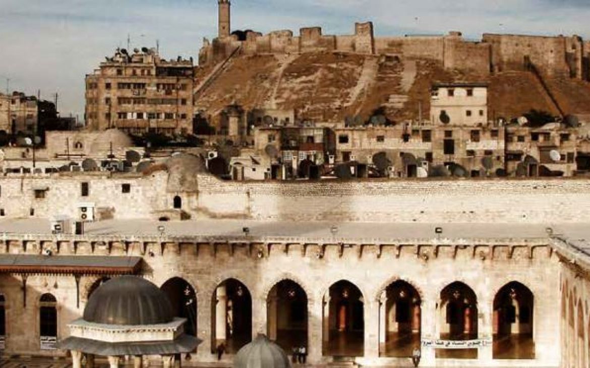
Thanks to the Memorandum of Understanding signed between UNESCO and UNITAR in 2015, and building on our previous two reports on damage to archeological sites in Syria (2014) and in Syria, Iraq, Nepal, and Yemen (2015), satellite imagery analysis is now a routine tool for assessing potential damage to cultural heritage sites.
The complementary roles of UNESCO and UNITAR-UNOSAT are important as they ensure an objective UN assessment of the status of cultural heritage, free from political bias and founded on scientific methods. This comprehensive study has revealed significant damage to cultural heritage within the World Heritage site of the Ancient City of Aleppo up to the end of the hostilities in the city in December 2016. UNOSAT satellite imagery analysts, together with UNESCO’s experts on cultural heritage in Syria, have documented a detailed list of damage at 518 buildings within the World Heritage site and the National Museum. More than 1,400 locations were assessed, with almost 1,000 individual damage points recorded. Among these 518 buildings, the following damage was identified: 56 destroyed, 82 severely damaged, 270 moderately damaged, 20 possibly damaged, and 8 with no visible damage
Damage observed through satellite imagery can be attributed to various factors, including airstrikes, bombardments, underground bombs, shelling, fire, street combat, and possible looting in some locations. The damage identified ranges from debris visible on the building roofs, to holes in the roofs and partial structural collapse, to complete destruction. More than 10 percent of the historic buildings of Aleppo were destroyed during the last five years of fighting. In some cases, the destruction of significant historic elements impacts the Outstanding Universal Value of the site. Although only a few of the assessed buildings are undamaged, and the damage to some buildings is severe, 51 percent of the assessed buildings are moderately damaged and might be restored.
UNOSAT is pleased to contribute to this important work and to once again guide the way to apply innovative satellite imagery solutions for UN sister agencies and Member States.
This publication was made possible thanks to funding by the Norwegian Ministry of Foreign Affairs and the UNESCO Heritage Emergency Fund.
Download
For more information contact unosat@unitar.org


