Displaying 2781 - 2790 of 3341
Innovative Collaboration for Development (ICfD), an e-Learning course on social media tools for development, jointly implemented by UNITAR and the Food and Agricu
December 2011, Geneva, Switzerland – Kristalina Georgieva, European Commissioner for International Cooperation, Humanitarian Aid and Crisis Response, addressed a large conference in Brussels on the subject of “Space: a tool for Crisis Prevention and Management”. In her speech she explained that the European Commission has used over the years the analysis and maps made by UNOSAT.
16 November 2011, Bangkok, Thailand
The United Nations Secretary-General Ban Ki-moon was concerned over the impact of the recent floods in Thailand after flying by helicopter over Bangkok. “I am deeply saddened and humbled by what I have seen by helicopter while travelling over these affected areas,” he told reporters in the Thai capital, according to the UN News Centre.
The United Nations Secretary-General Ban Ki-moon was concerned over the impact of the recent floods in Thailand after flying by helicopter over Bangkok. “I am deeply saddened and humbled by what I have seen by helicopter while travelling over these affected areas,” he told reporters in the Thai capital, according to the UN News Centre.
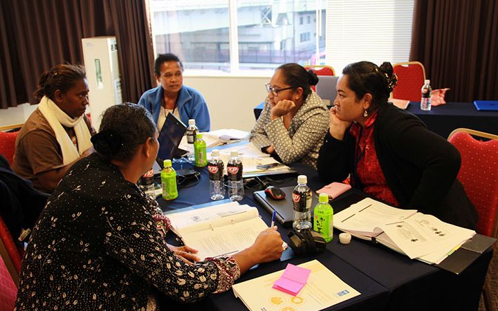
07–11 November 2011, PR China – UNITAR/ILO, in collaboration with the Orange House Partnership (OHP) and the Ministry of Industry and Information Technology of China (MIIT) conducted two training sessions on the Globally Harmonized System of Classification and Labelling of Chemicals (GHS) in Beijing.
23 November 2011, Brazzaville, the Republic of the Congo. UNITAR’s delegation composed of the Board members and staff who, just on the eve, successfully concluded the work of the 51st session of their Board held in Brazzaville has had the honour of being received today by the President of the Republic of the Congo, Mr. Denis Sassou Nguesso. H.E. Mr. Henri Lopes, current Chair of UNITAR’s Board and Ambassador of Congo in Paris, Mr. Lakhdar Brahimi, former Senior Advisor of UN Secretary-General, Dr. Shirin Ebadi, Nobel Peace Prize winner, Prof.
November 2011, Lilongwe, Malawi – Malawi is experiencing a range of climate hazards such as intense rainfall, floods, droughts, dry spells, cold spells and strong winds. In order to strengthen human resource capacities to address these challenges, Malawi will commence a UN CC:Learn supported project on Strengthening Human Resources and Skills Development to Address Climate Change in early 2012. UN CC: Learn is a One UN initiative on climate change learning for which UNITAR is providing the Secretariat.
November 2011, Lilongwe, Malawi – Malawi is among the countries most vulnerable to the impacts of climate change which is impacting key sectors in the country and may hamper the achievement of the Millennium Development Goals.
This year saw the first successful roll out of the new improved version of the well-known GIS training course offered by the Asian Disaster Preparedness Centre that now includes tailored UNOSAT modules on post-disaster impact and damage analysis in emergency response mapping. The course is held once a year in Bangkok around October and lasts two weeks. The UNOSAT module is held on three consecutive days during the course.
2-4 November, 2011, Republic of Indonesia.
November 2011, Addis Ababa, Ethiopia - The tenth regional training programme to enhance conflict prevention and peacemaking in Africa concluded in Addis Ababa, Ethiopia in early November. The group of forty-one participants, the largest ever, consisted of mid to senior level officials of African Ministries of Foreign Affairs, as well as other key government departments, such as the Office of the President or Prime Minister.


