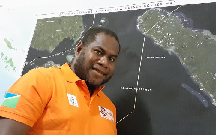
George Baragamu
Title: Chief Operations Officer of the National Emergency Operations Center
Country: Solomon Islands
Partnership: CommonSensing Project
Tropical Cyclones are regular and disastrous occurrences for the Solomon Islands. Each year the cyclone season brings powerful wind speeds and high storm surges, threatening SIDS. George Baragamu, Chief Operations Officer of the National Emergency Operations Center (NEOC), situated in the National Disaster Management Office (NDMO), in the Solomon Islands, knows the risks of such weather events too well.
George works to protect the country from disasters and together with his team put efforts into ensuring the preparedness of communities and acting for efficient response following crises. His role is one of urgency, and he makes sure his crew has the best skills to jump into action. As a well-seasoned user of GIT - having studied GIT himself as part of his master’s programme - George understands its benefits to the important role NEOC plays in keeping the Solomon Islands safe.
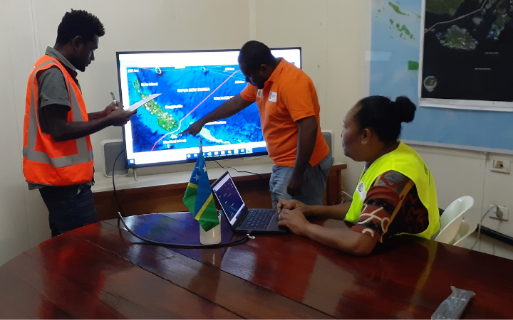
Thanks to the assistance of UNOSAT through its CommonSensing project, George and his team can count on the help of Joy Papao, UNOSAT’s in-country expert for the Solomon Islands. “The officer supporting us from the project is a local, so the context of the country is well understood”, George beams also adding that the production of geospatial outputs is more prolific, and that they are used more often thanks to Joy’s presence.
Hosted by the NEOC itself, Joy not only supports the project’s activities, but she also builds the spatial knowledge and capacity of the office through the provision of technical backstopping and ad-hoc support on specific requests.
The most important thing is Joy’s presence in the office […] that they can work with her and learn from her.
One such occasion was during Tropical Cyclone Lucas. “We relied on the project to help us develop maps for operational planning”, recalls George. He and his team looked at provinces that were at high risk of being impacted by storm surge or flooding. Following the rapid provision of geospatial products their “national emergency team and other teams from the provinces used those products’ information as a baseline for their planning of anticipating possible responses”, he proudly reveals.
Another emergency the Solomon Islands has had to deal with is the COVID-19 pandemic. “One of the important technical backstopping we’ve received is the lockdown maps” which “have helped the NDMO’s camp sector committee identify potential quarantine stations”, explains George. “We used backstopping to develop risk assessment reports and specific plans for those identified sites so they can be safe.”
Aside from emergency response and recovery, a large facet in the disaster management cycle – and arguably the most important – is preparedness. “We have a much bigger role during peacetime. That is when we get the communities ready”, stresses George. They do this by developing hazard-specific plans and working with different government agencies and provinces to create a standard operating procedure in preparation for disasters.
As for his team, George is thrilled about their participation in the CommonSensing project – through the capacity development training and the use of technical backstopping products.
I am very excited because it will enhance our human resources. Now that we have a good number of people who were trained by Joy, we are certain that when the project ends, we already have people who can take over.
We are thrilled too to see first-hand how knowledge sustainability is indeed possible!
...........
Led by UNOSAT and funded by the UK Space Agency’s International Partnership Programme, the CommonSensing project is supporting selected SIDS – Fiji, Solomon Islands, and Vanuatu – leverage geospatial data to enhance climate and disaster resilience.


