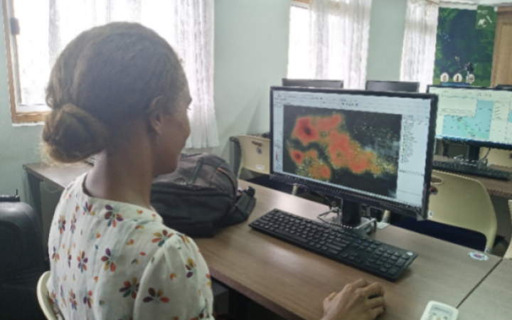
Fiona Meke, an Assistant Lecturer in the Department of Fisheries Studies at the Solomon Islands National University, is actively engaged in environmental research and conservation efforts in the Solomon Islands and the Pacific region. Passionate about marine ecosystems and coastal communities, Fiona's career path has been guided by her drive to understand and address the most pressing environmental challenges, particularly those affecting her own home in the Solomon Islands and the broader Pacific region. Recognising the relevance of Geographic Information Systems (GIS) in her field of study, Fiona sought to improve her proficiency in GIT applications to enhance her contributions to fisheries management and marine conservation. Motivated by a desire to broaden her knowledge and skills in environmental research methodologies, Fiona decided to take part in the training programmes delivered by UNOSAT as part of the NORAD-funded project 'Strengthening Capacities in the Use of Geospatial Information for Improved Resilience in Asia-Pacific and Africa (2021-2024)'.
Through these training programmes, Fiona sharpened her abilities in data collection, management, and analysis for disaster risk management and climate resilience, using GIS, Unmanned Aerial Vehicle (UAV), and Remote Sensing. In her day-to-day work, she now uses her advanced skills in UAV data collection, processing, mapping, and hydrological modelling for flood susceptibility mapping and coastal risk assessments.
Due to the knowledge she has acquired, particularly the UAV data collection, processing, and mapping with open drone maps, Fiona has been able to carry out accurate environmental assessments and is keen to see how this application can be utilized for research practices relating to documentation of indigenous fishing practices using drone technology. Fiona's research will now benefit from the integration of GIS techniques, facilitating data-driven decision-making in marine
conservation. She sees GIT as an interesting way of gathering information about the environmental characteristics of coastal areas and seeing how they are changing, particularly how the coastline moves over time.
With GIS, I can get more information about the environmental characteristics of coastal areas, and the various terrestrial and marine ecosystems. It is a good way of integrating information on coastal vegetation, coastal development, coastal development planning and the implementation of coastal conservation measures. It's highly relevant in this area.
Although Fiona Meke finds GIS very relevant in her field, she feels that the largest challenge in using these technologies is having to keep updating some of the applications, and the software it requires and having to constantly update knowledge on the subject. The technological field rapidly changes and keeping up with those changes and using the most up-to-date technology can be challenging.
Beyond personal advancement, Fiona Meke also advocates for the integration of GIT into the university curriculum. She recognises the significance of GIT in cultivating a new generation of environmental scholars adept at spatial analysis techniques. Her efforts underscore the importance of bridging academic knowledge together with practical skills, empowering students to tackle complex environmental challenges with proficiency and innovation.
I would encourage all environmentalist students or scholars to engage in GIS training and its application since it provides a different perspective to the decision-making process in relevant our discipline.
This awareness of the importance of using GIS has driven the Environment Department of the National University of the Solomon Islands, where Fiona works, to develop a programme that will support the use of GIS applications and, more specifically, the use of drones in environmental research.
Fiona has also taken part in a Training of Trainers course and feels that it has added value to her university career. It enabled her to better understand the difference in dynamics between having to deliver a training course over a semester and delivering a training course over a short period. This Training of Trainers course helps her to train her colleagues and pass on the knowledge and skills learned during the UNOSAT training courses to her colleagues. In their turn, they will use their knowledge and skills to train the university students.
As a recognition of her hard work, Fiona together with two other UNOSAT participants offered their support to the University Department. The knowledge and skills she gained, were used to build maps with the help of drones for their research into certain coastal communities. They are generating maps of the target research sites in the Solomon Islands.
Fiona Meke's involvement in the UNOSAT training programme reflects her commitment to growth and building environmental resilience. The project training programmes have provided Fiona with essential skills in documenting coastal vegetation, potential coastal development, and building coastal development conservation measures, all as part of her academic research. In the future, Fiona Meke intends to continue collaborating with UNOSAT in researching coastal management and fisheries using GIT.


