Name: Sopheap Sok
Organization: Ministry of Agriculture, Forestry, and Fisheries in Cambodia
Functional Title: Chief Officer of the Agricultural Information and Documentation Center
Country: Cambodia
Course participated in: Cambodia Drought Training
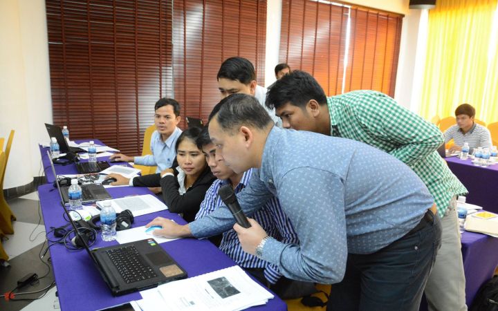
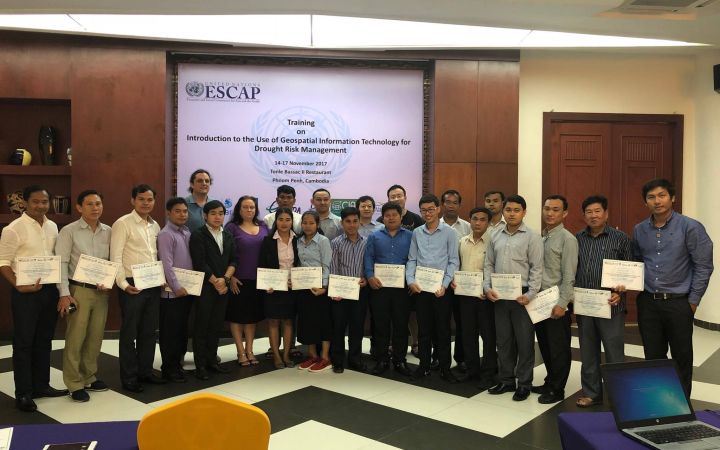
Sopheap Sok is the Chief Officer of the Agricultural Information and Documentation Center at the Ministry of Agriculture, Forestry, and Fisheries in Cambodia. He took a course on Geographic Information Systems (GIS) with UNITAR’s Operational Satellite Applications Programme (UNOSAT).
When Sopheap first started working he was stationed in the Administration Center of the Ministry because he had studied computer science. He was later promoted to the Chief of Administration. He knew that Geographical Information Systems (GIS) would help him in his work but he didn’t know how to use them. He found tutorials on Youtube which introduced him to the technology, but he was never provided with actual data that he could practice his skills on. His other option was to enroll in a GIS course in Cambodia, but a week of training can cost between 700 and 1400 dollars: “It’s so expensive!”
When he learnt about UNITAR’s free course on GIS, he was exalted: “When I joined the last course with UNITAR, it made me feel happy, ‘Oh, I can have a training course that has the basics of GIS, its good! […] I never joined a course as good as the UNITAR course. It is very difficult to find a good GIS training course for free!”
The course drastically improved his understanding of GIS:
“From the course I learnt how to select altitude, or how to select by location, and how to collect the data. It’s a good app for us to collect some data for produce.”
The training also opened his eyes to the potential of GIS: “I never knew about it before but after I joined the course with UNITAR, I know, ‘oh, it’s a good app that we must try to use for our produce.’”
While Sopheap recognized the value of GIS, not everyone else did: “All the officials in the Ministry of Agriculture, they think ICT is not important for agriculture, but after 2016, my team held a workshop and showed how important technology is, especially GIS, and how it can help the world and the production of agriculture.”
“We try to train our provincial department officials to understand the importance of GIS. It’s really important for it to have an effect on agriculture sectors.”
Another obstacle is that the information isn’t accessible to everyone: “Nowadays, if the private sectors want to know the data for growing mangoes, they can’t, because we don’t have any data on the website. They don’t have a knowledge on GIS.”
Sopheap is confident that by sharing his knowledge he can help others:
“I hope I can make a web GIS and transfer the knowledge from UNITAR to our officials and our farmers so they can add some data, such as the amount of crops per year, and the information for how well that crop grows.”
He had such a positive experience with the course that he hopes to take another one in the future: “It was really interesting and I am really thankful to UNITAR for this useful training course and I hope that UNITAR can give more training course for beginners to intermediates.”
He has big ideas for the next one: “maybe a drone training course!”


