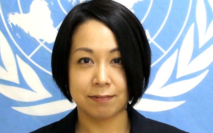
Name: Chika Ohashi
Organization: United Nations Development Programme
Functional Title: Programme Analyst
Country: Japan
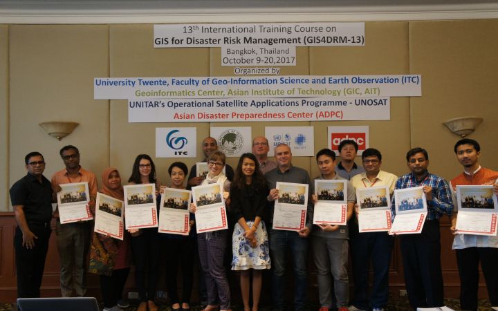
Course participated in: 13th International Course on GIS for Disaster Risk Management
Chika Ohashi is a Programme Analyst with the United Nations Development Programme. She took a course on Geographic Information Systems (GIS) with UNITAR’s Operational Satellite Applications Programme (UNOSAT).
Chika’s passion is the environment - she has a bachelor’s degree in Environmental Management and a Masters’ degree in Environment and Sustainable Development to prove it!
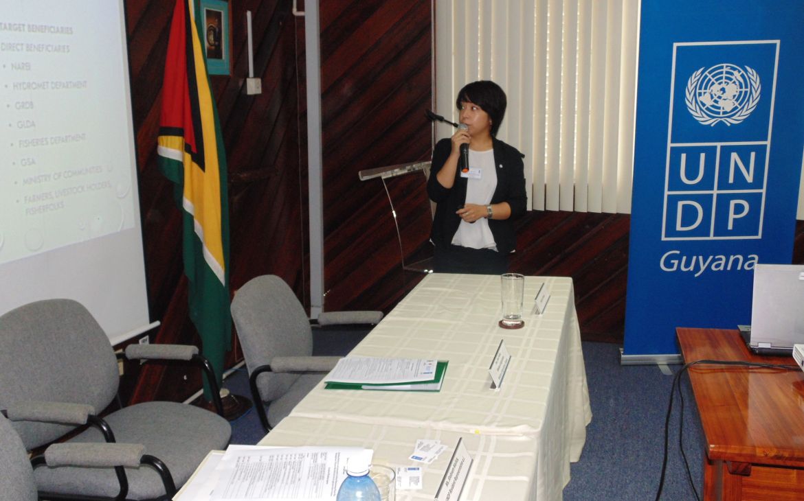
As a Programme Analyst at the United Nations Development Program, Chika deals with environmental issues on a daily basis: “My responsibility is to deal with results mobilization […] mostly sustainable development and disaster risk reduction (DRR) in Guyana. Anything to do with those two.”
She took part in UNITAR’s course as she found that knowledge of Geographical Information Systems (GIS) in Guyana is lacking, particularly when it comes to how it can be used for disaster risk reduction: “Guyana doesn’t really have official early warning systems, the country really lacks the access to satellite imagery, to really use it for GIS, there are a lot of free materials out there but not many people know about them.” She also had a personal interest in exploring the technical aspects of GIS.
Chika said the course was particularly relevant to Guyana’s situation: “It captured my attention a lot because that is what Guyana needs […] how to use GIS, especially in the area of DRR, but mostly for the emergency response.”
While she wasn’t as keen on the theoretical aspects of the course in the second week, she loved the first week: “[it] was excellent, it was very practical and technical as well.”
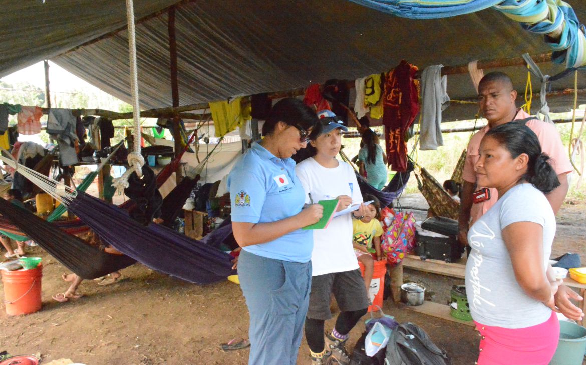
She found the course helpful for both learning new skills and refreshing her memory: “I did GIS a long time ago when I was studying, but I didn’t brush up my knowledge so this course was really excellent.” The course has also made a massive difference in her professional life: “I learned to the extent that I could actually apply my knowledge to a project, for me this is a huge thing.” The project is called Project for Strengthening Disaster Movement Capacity of Women in the Cooperative Republic of Guyana and Commonwealth of Dominica. It aims to reduce the vulnerabilities and risks of women and men in the agriculture sector.
The course also enabled her to provide technical guidance to the National Disaster Risk Reduction committee with more confidence.
“For me this course wasn’t just a course that I attended, but it was something else, something more… I could actually make something out of it, I really learnt a lot and I enjoyed it so much.”
Chika is preparing to move to the UNDP country office in Libya, where she will be able to apply her GIS skills to a different context: “There is GIS application in conflict situations as well […] I can definitely utilize what I’ve learnt in the future.”
She is very grateful to UNITAR for the course: “I wanted to take advantage of this opportunity to say I really appreciated the amount of support and patience that UNOSAT gave to me, when it comes to asking for information, and when I was developing this project document with them.”


