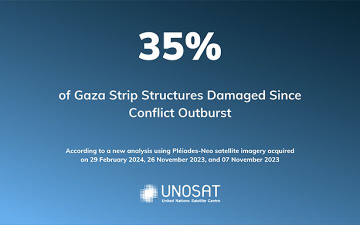
20 March 2024, Geneva, Switzerland – The United Nations Satellite Centre (UNOSAT) has released an updated assessment of the damage inflicted on buildings in the Gaza Strip. This analysis, based on very high-resolution satellite imagery collected on 29 February 2024, reveals a significant increase in destruction compared to previous assessments.
UNOSAT compared the above-mentioned image with others dated: 1st and 10 May 2023; 18 September 2023; 15 October 2023; 7 & 26 November 2023; and 6 & 7 January 2024.
In total, 35% of all buildings in the Gaza Strip have been damaged, representing 88,868 structures, among which 31,198 structures have been identified as destroyed, 16,908 severely damaged, and 40,762 moderately damaged. This represents an increase of nearly 20,000 damaged structures compared to the previous assessment realized in January 2024.
The governorates of Khan Yunis and Gaza have experienced the most significant rise in damage, with Khan Yunis seeing 12,279 additional damaged structures and Gaza experiencing 2,010. Khan Yunis City has been hit particularly hard, with 6,663 newly destroyed structures. Beyond the number of damaged buildings, this update provides an estimate of 121,400 housing units impacted by the destruction in the Gaza Strip. The satellite imagery analysis conducted by UNOSAT documents the widespread destruction and highlight the affected population’s need for support.
UNOSAT will continue to closely monitor the situation and collaborate with humanitarian and development partners to provide accurate and timely information for effective response efforts.
See our last product: https://unosat.org/products/3804
About UNOSAT
The United Nations Satellite Centre (UNOSAT) is part of the United Nations Institute for Training and Research (UNITAR), with a mandate to provide United Nations funds, programmes and specialized agencies with satellite analysis, training and capacity development, at their request, as well as to support Member States with satellite imagery analysis over their respective territories and to provide training and capacity development in the use of geospatial information technologies, based on voluntary contributions. By leveraging advanced technology, UNOSAT contributes to informed decision-making and facilitates the delivery of aid in crises.
Contact:
- Olivier Van Damme – olivier.vandamme@unitar.org
- Anne-Sophie Faivre Le Cadre – annesophie.faivrelecadre@unitar.org


