

Displaying 2401 - 2410 of 2609
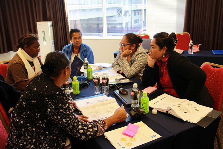
From July 12-16, in Barcelona, Spain. UNITAR and UN-HABITAT came together with the other members of the Police Platform on Urban Development (PPUD) to offer the initiative’s first training seminar since its launch in November 2009. The first training seminar, titled “Improving the Policing Public Events in Urban Spaces, focused on training participants from various African countries, such as Rwanda, Zimbabwe, Cameroon, and Nigeria.
In the framework of their collaboration aiming to jointly develop a series of learning programmes in the field of knowledge management, UNITAR and the Food and Agriculture Organization (FAO) are developing the course Innovative Collaboration for Develo
Through a partnership agreement signed with UNITAR, Sulá Batsú Cooperative will be cooperating with the Institute on the delivery of the course Innovative Collaboration for Development , the first e-Learning course implemented by U
In an effort to complement the analysis of very-high resolution imagery with data acquired in the field and in-situ mapping, UNOSAT and French NGO ACTED (Agence de Cooperation Technique et Developpement) have established a specific collaboration agreement for the generation of advanced geographic information during and immediately after the crisis. The agreement, which comes after the two organisations started working separately but in consultation over the main areas affected by the incidents of the recent weeks, identifies a few specific areas of cooperation and the relevant output.