September 2021, Geneva, Switzerland - Stronger cyclones, derailed seasonal floods, large forest fires, rising sea levels…, the climate crisis affects every part of human life and development. It is the most pressing issue to protect vulnerable populations and ensure a safe and sustainable future for all.
Geo-spatial Information Technology (GIT), including satellite imagery analysis and data visualization, can help increase climate resilience as it plays a vital role in understanding the geographic extent and severity of such hazards. The ability of national and regional authorities to seamlessly collect, integrate, and analyze geospatial information in a comprehensible and easy to use format, is key to effectively prepare for, respond to, and recover from any disaster.
The United Nations Satellite Centre (UNOSAT) has been supporting UN Member States with geospatial analysis for better disaster risk management for 20 years. Through the provision of technical support, we promote evidence-based decision-making. In addition, UNOSAT also shares its expertise through training activities specifically targeted at disaster management authorities and decision makers. These efforts, with time, aim to strengthen national and regional capacity for disaster risk management and strengthen climate action policy.
CommonSensing
One of the latest significant examples was in the Pacific. Small island nations are on the frontline of the devastating impacts of climate change. With most of their population living on low-laying land, they are especially vulnerable to the threat of rising sea levels, degrading their coastlines, their communities, and their livelihoods.
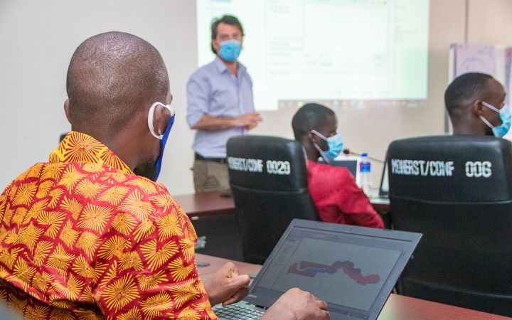
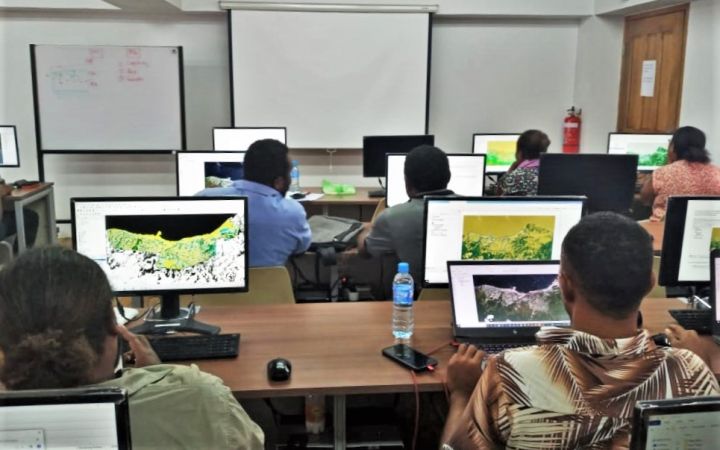
Through the CommonSensing project[1], Fiji, Vanuatu and the Solomon Islands are developing geospatial analysis capacity and are able to set new standards for requesting and reporting on climate funds. The project brings web-based geospatial solutions to national and local stakeholders, using a wide range of satellite imagery and data. To empower users, tailored capacity development activities were delivered to ensure sustainable knowledge transfer. The participants are now able to translate the data into actionable intelligence for policy-making and action on the ground. For example, an introductory and advance training on Earth Observation and GIT applications for climate resilience were delivered where participants learned how to conduct building damage assessment and population exposure analysis for tropical cyclones, using online applications, case studies and existing data from past events.
“This module is very interesting as it is closely related to some of the field work we are interested in among project areas. The module has also shed light into other open software tools (google engine, climate search engine) that can be easily accessed through the internet and used to produce good quality data.”- training participant (anonymous)
New stage in capacity development strategy
Thanks to the support of in-country experts for both virtual and in-person activities, the knowledge retention rate significantly increased, making the learning experience more valuable to the participants. UNOSAT will be integrating this innovative delivery methodology into future projects and other countries, including its latest flagship project.
Thanks to the support of the Norwegian Agency for Development Cooperation (NORAD), UNOSAT will be able to expand both its technical expertise activities (technical support and provision of integrated solution) and the training activities in order to strengthen capacities in the use of GIT for improved resilience in 8 countries throughout the Asia-Pacific and Africa.
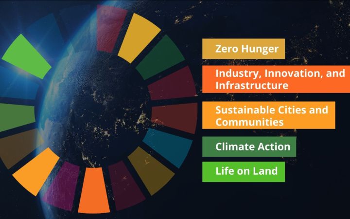
Over the next three years, tailored learning experiences, based on comprehensive capacity needs assessments, will allow participants to develop skills to undertake geospatial analysis, and apply it to their area of work. This training, in parallel with the deployment of GIS experts in-country, technical backstopping activities, and development of a dedicated knowledge platform, will strengthen geospatial capacities and enhance resilience, with a focus on Disaster Risk Reduction (DRR), Climate Resilience, environmental preservation & Food Security.
For more information on UNOSAT projects and activities, please visit www.unitar.org/unosat or follow @UNOSAT on Twitter, Facebook and LinkedIn.
[1] The IPPCommonSensing project, a consortium of international partners led by UNOSAT, is an innovative international project that aims to support and build climate resilience in Fiji, Vanuatu and the Solomon Islands, through the use of satellite remote sensing technology. The project is funded by the UK Space Agency’s International Partnership Programme (IPP) financed through the Global Challenges Research Fund (GCRF). UNOSAT has been leading the capacity development activities especially on the satellite data and GIT applications to support the partner governments in their efforts to make evidence-based decisions for enhanced Climate Resilience and DRR.


