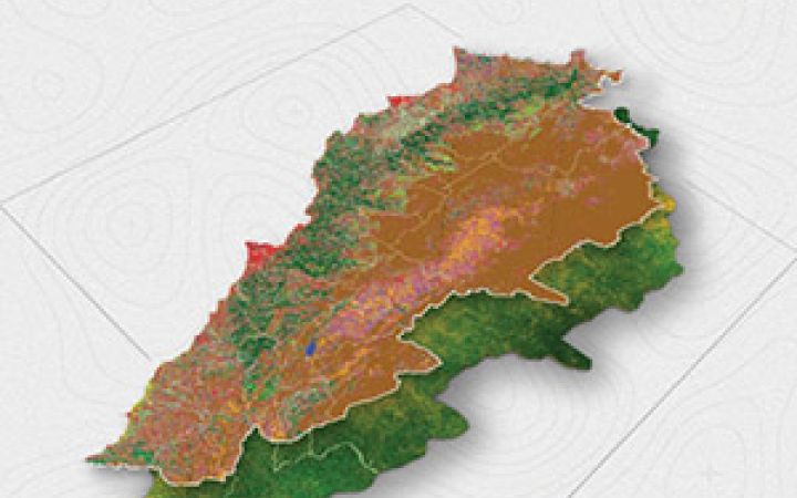
July 2025 - In response to the ongoing conflict that began in October 2023, in collaboration with FAO, we’ve conducted a joint analysis to evaluate changes in agricultural land in southern Lebanon. The assessment compares land cover and vegetation health from a baseline period (October 2019 – 7 October 2023) to October 2024.
A 2023 land cover map was generated using Sentinel-2 imagery (10 m resolution). Vegetation loss was assessed by comparing NDVI values from Landsat 7 and 8 imagery (30 m resolution), identifying areas with significant negative deviations. These were further validated through very high-resolution satellite imagery, confirming notable land degradation in affected regions.
The results highlight a concerning decline in vegetation, raising serious implications for agricultural productivity and food security in Lebanon.


