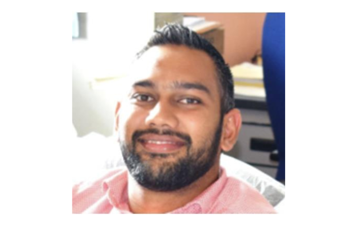
At the Fiji Meteorological Service (FMS), Rovil Kumar, a scientific officer specializing in Geographic Information Systems (GIS), coordinates the development of maps and geospatial portals that contribute to Fiji's resilience to extreme weather events. As part of his role, he compiles various maps for climate monitoring, flood mapping, and forecasting of heavy rainfall and tropical cyclones. By doing so, Rovil and his team contribute significantly to Fiji's preparedness and response strategies. To harness the skills to develop these products, Rovil Kumar participated in many trainings conducted by the United Nations Satellite Centre (UNOSAT) over the years, more recently attending the course "Geospatial Training on Flood Susceptibility and Cyclone Exposure Modelling". This training covered fundamentals of QGIS, cyclone mapping, hydrological mapping, and flood modelling using the Height Above Nearest Drainage (HAND) method. The training focused on using this HAND modelling method to perform flash flood vulnerability mapping and tropical cyclone risk mapping.
When asked why he had chosen to take part in the training course, Rovil Kumar explained:
"We wanted to explore new models for flood management and try to automate processes, particularly for cyclone mapping. The training was an opportunity to discuss with the UNOSAT technical team how we could improve our methods".
In the context of frequent flooding events experienced across the Fiji Islands group, Rovil Kumar's work aligns with the objectives of the UNOSAT training course. The new flood vulnerability mapping methods can be used by FMS to improve flood monitoring by identifying more specific areas susceptible to flooding during heavy rains. This will help the FMS to trigger the appropriate early warning response in potentially impacted areas of interest. It will further assist the National Disaster Management Office (NDMO) to facilitate response plans for the deployed teams that need to evacuate populations where needed. The model also helps the Ministry of Agriculture and Waterways to take measures along riverine and coastal areas most susceptible to these flood risks.
The HAND Flood Susceptibility Mapping module primarily considers the topography of areas of interest and their distance from waterbodies. This significantly improves the accuracy of identifying flood-prone sites. Rovil Kumar pointed out that this improvement provides a clearer picture of potential flood zones across communities in Fiji. When compared to the standard maps used to map flood risk at the district level HAND model offers a more reliable picture and informs a practical response to addressing these risks.
Beyond the technical aspects of the job as a GIS expert, Rovil Kumar is also actively involved in awareness-raising activities, organizing sessions to present the newly developed models to the public, including school children. The HAND model introduced by UNOSAT will enable Rovil to present more precise maps showing flood-vulnerable areas to these audiences emphasizing '’how the rivers flow and where the flood levels can be''. He emphasized the importance of a sufficient degree of confidence in their data, whether you are a forecaster or a member of the public. It informs Fiji’s citizens of areas that might flood in the next Cyclone season, crucial for public safety.
It is essential to persuade our forecasters, in both weather and flood forecasting, of the effectiveness of the new flood vulnerability model. Particularly as the maps we produce are intended for the general public, any change of method requires a significant amount of time and effort, to make it comprehensible enough to be used by the general public.
After attending the training, Rovil Kumar expressed his desire to see his colleagues attend the training as well and specialize in flood susceptibility mapping and the HAND model. Rovil's story illustrates the transformative impact prompted by UNOSAT's training programmes, enabling local professionals to tackle often complex sectoral challenges through learning opportunities and ultimately contribute to building more resilient communities. In the future, UNOSAT will continue its efforts to offer training and assistance to country officials in developing Disaster Risk Models.


