Tailor-made Training
UNOSAT offers basic and advanced courses on the use and applications of Geospatial Information Technology for disaster risk management. The courses are delivered face-to-face either in situ or at the headquarters in Geneva, Switzerland. They can be customised to different needs.
Training methodology
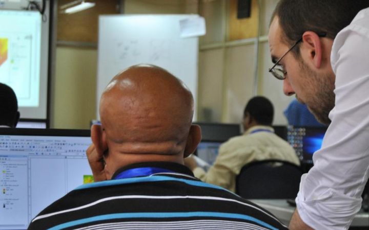
We focus on a highly interactive learning-by-doing approach using case studies derived from recent disasters and conflicts. The trainings are comprised of theoretical lectures, round table discussions as well as field visits.
Our target audience
Our courses are designed for professionals from governments, regional and international organizations including the United Nations who wish to strengthen their practical skills in the use of Geospatial Information Technology for disaster risk management.
GIS software and license grant
UNOSAT provides the latest ArcGIS software throughout the courses.
After completing the course, all participants are provided with a 1 year ArcGIS license from ESRI to support the application of the knowledge and skills gained from the course into their respective work.
Apply for a course
Browse our catalogue of courses or contact us at unosat@unitar.org for more information.


